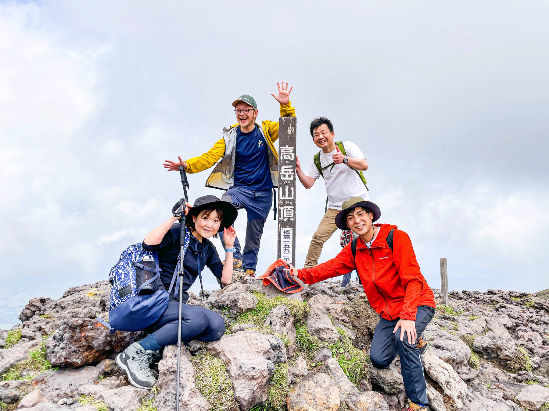
 Hello, it feels like mountain climbing. This is Morinaga from SMO Minamioguni.This time, the new mountain climbing route of Mt. Aso Nakadake was opened, so I tried to climb the mountain for the first time.
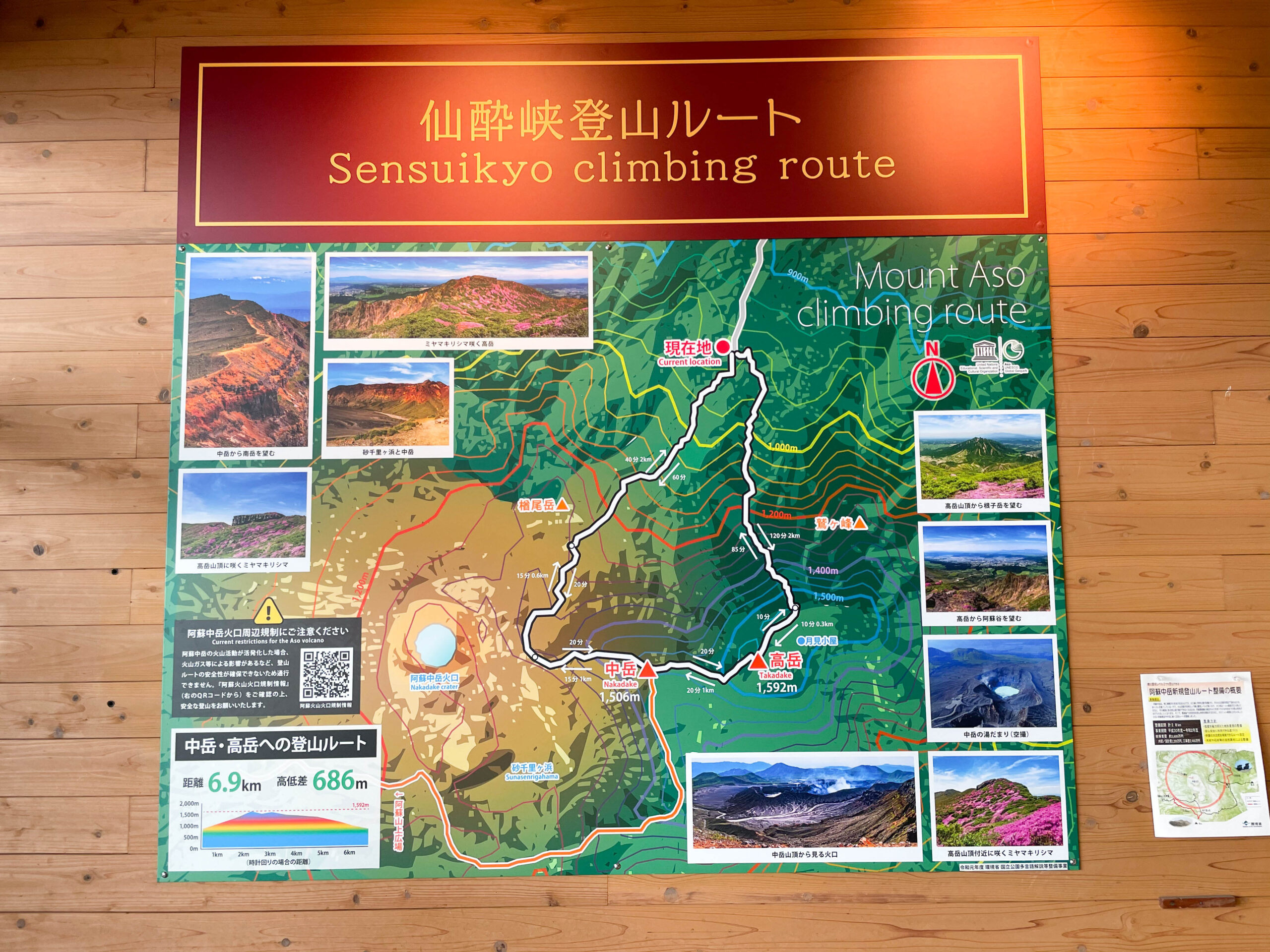 This is the one I climbed this time.It starts from Sensuikyo, goes to Nakadake, and then descends via Takaoka.The new route detours from the middle of the map in the photo,"You can enjoy climbing Mt. Nakadake even if the eruption alert level of Mt. Aso is XNUMX."That revolutionary thing.
Nakadake / Takaoka 2021.5.11 / fu'SNakadake (Mt. Aso)-Mount AsoActivity data | YAMAP / Yamap
The road is also introduced in YAMAP's app, so I hope you can refer to it when you actually climb.
That's why I would like to introduce you the way from the start to the way down the mountain with photos.
First from here.Sensuikyo
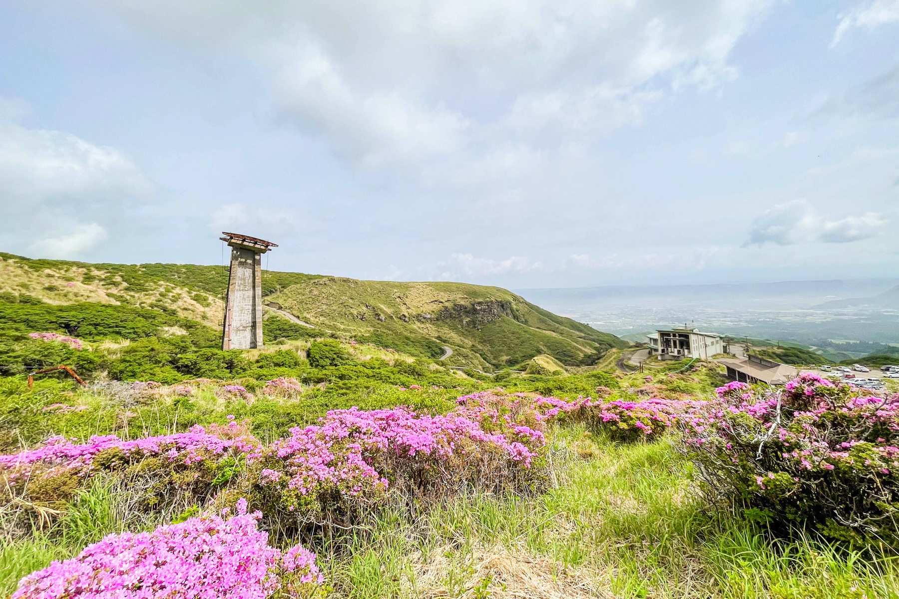
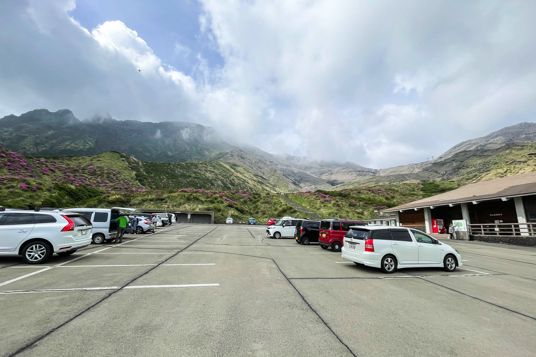 If you keep climbing the road in front of the Aso Youth Exchange House, you will see the stupa.Beyond that is Sensuikyo.With a spacious parking lot, it is a popular spot in Aso that many people visit during the flowering season of Miyama Kirishima in May.
View this post on Instagram
Restoration work was completed on April XNUMX, and it is now possible to climb by car.
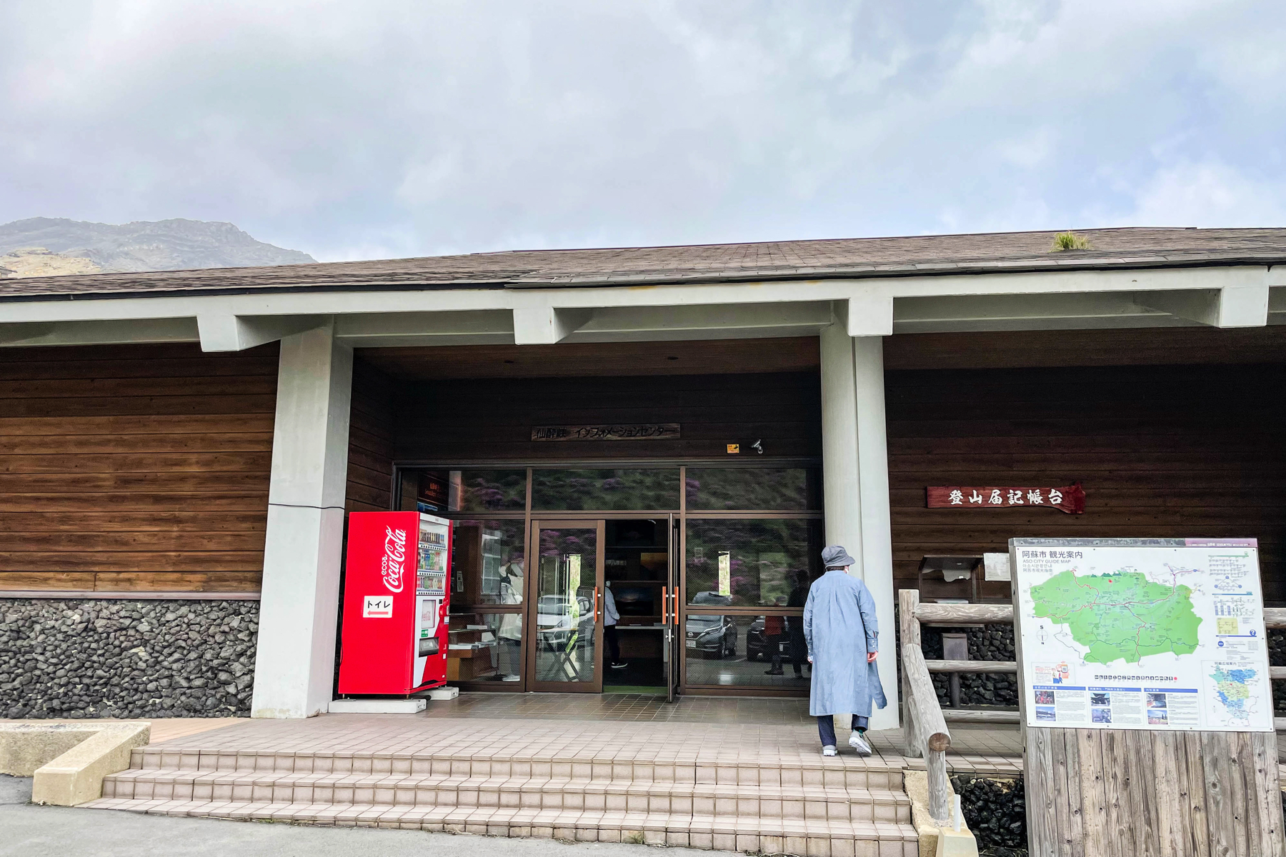 The appearance of the Sensuikyo Information Center in Sensuikyo looks like this.There are also vending machines, so if you feel like "Oh, I forgot to buy water!", Please buy it here.
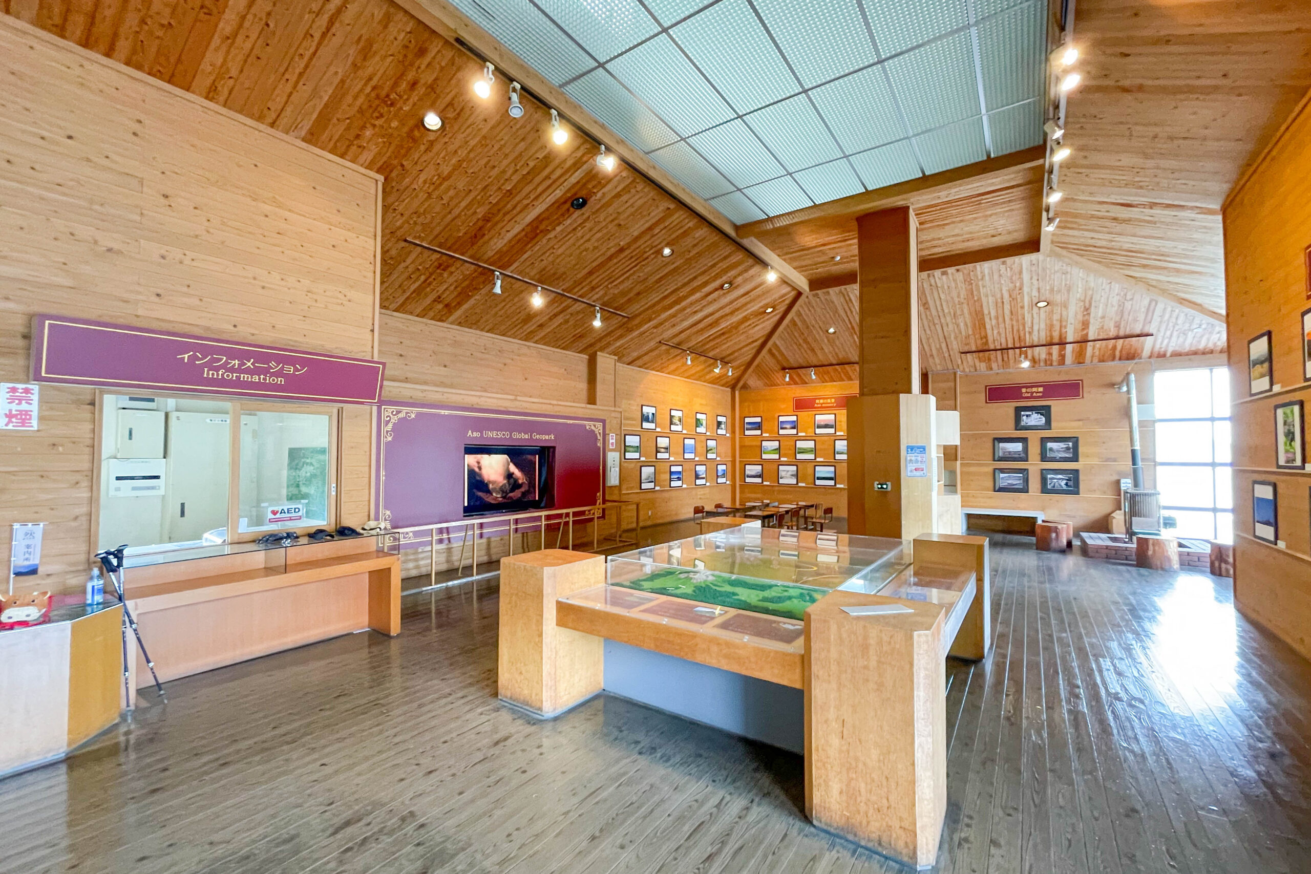 The inside of the information center looks like this.A light knowledge of the plants and terrain here will surely make your subsequent climbing even more enjoyable.
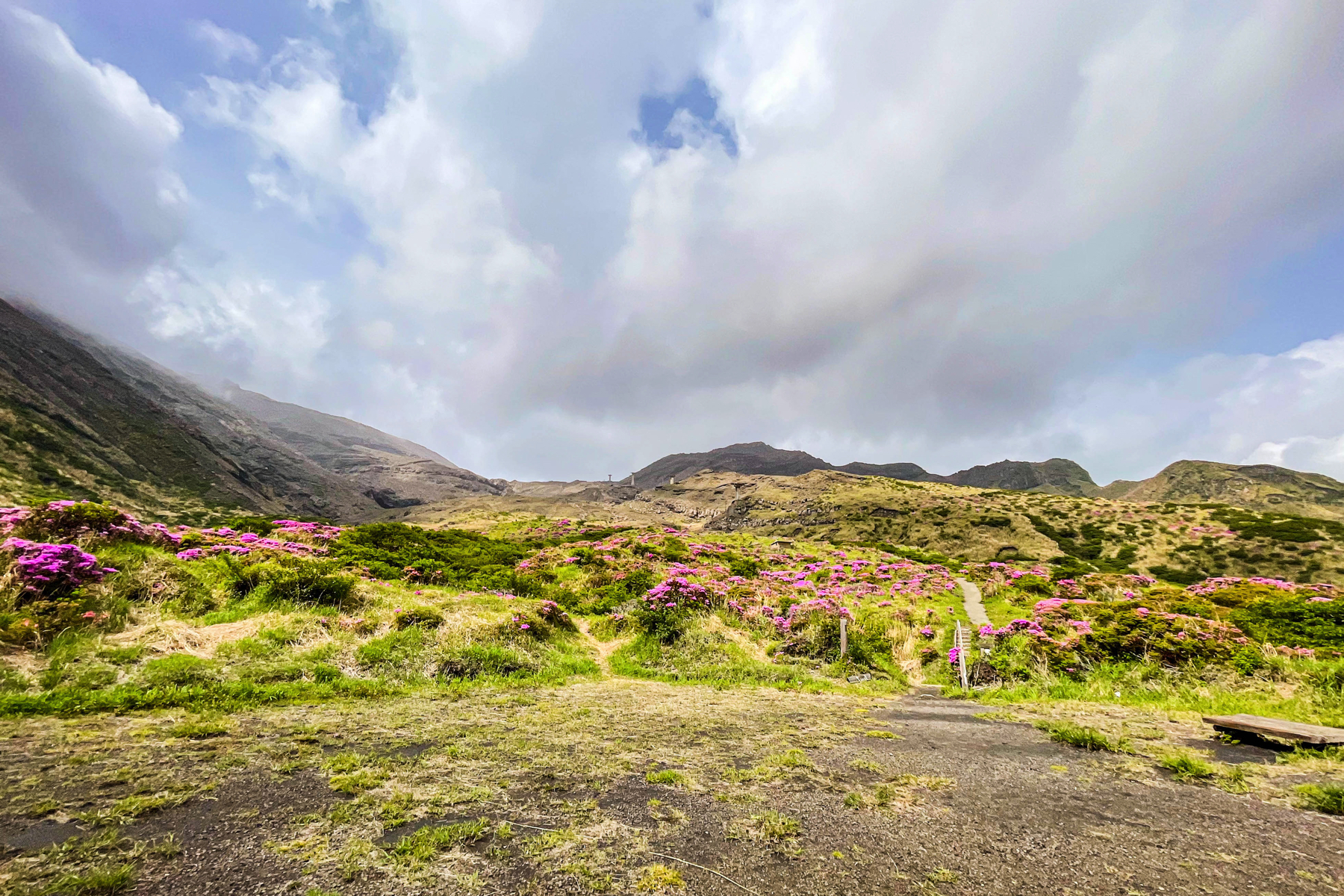
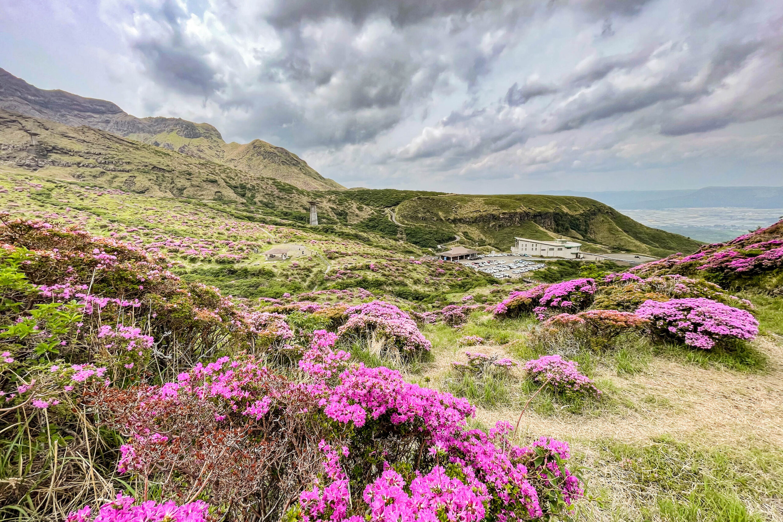 Every year from May to June, 5 native Miyama Kirishima fill the valley, and it is a scenic spot named "The beauty of the flowers makes the hermit drunk."
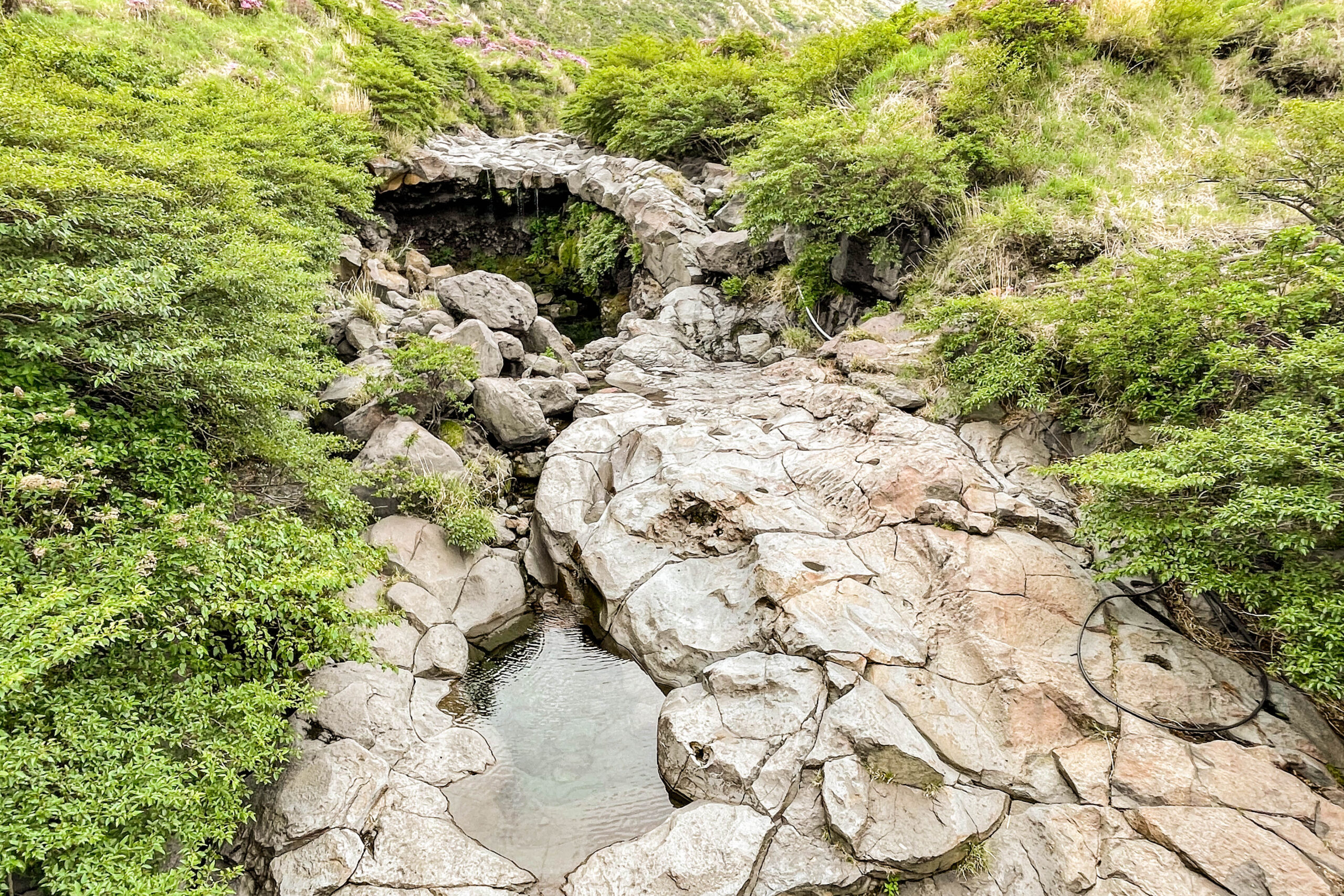 There is a waterfall and a valley on the far left of the parking lot, and it is also famous as a place where you can see the frozen waterfall in winter.
Senkankyo
Address: XNUMX Miyaji, Ichinomiyamachi, Aso City, Kumamoto Prefecture
Introduction of mountain trail ① From parking lot to before the sparrow rock detour route
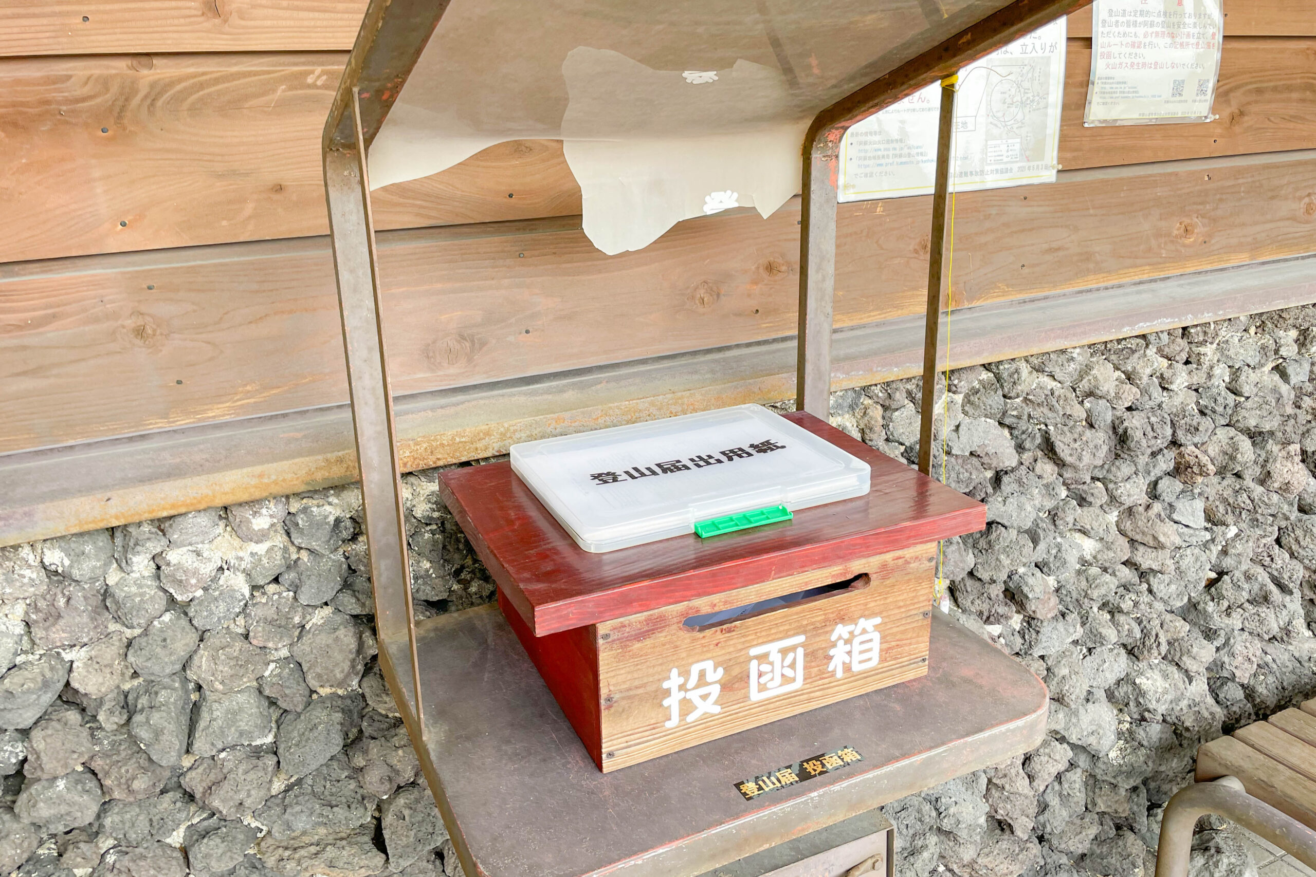 There is a mountain climbing notification submission box next to the entrance of the Sensuikyo Information Center, so if you submit the mountain climbing notification there, you can start climbing!There are many steep mountain roads along the way, so be sure to submit a mountain climbing notification.
* Click here for submission of mountain climbing notification
https://www.pref.kumamoto.jp/site/police/8751.html
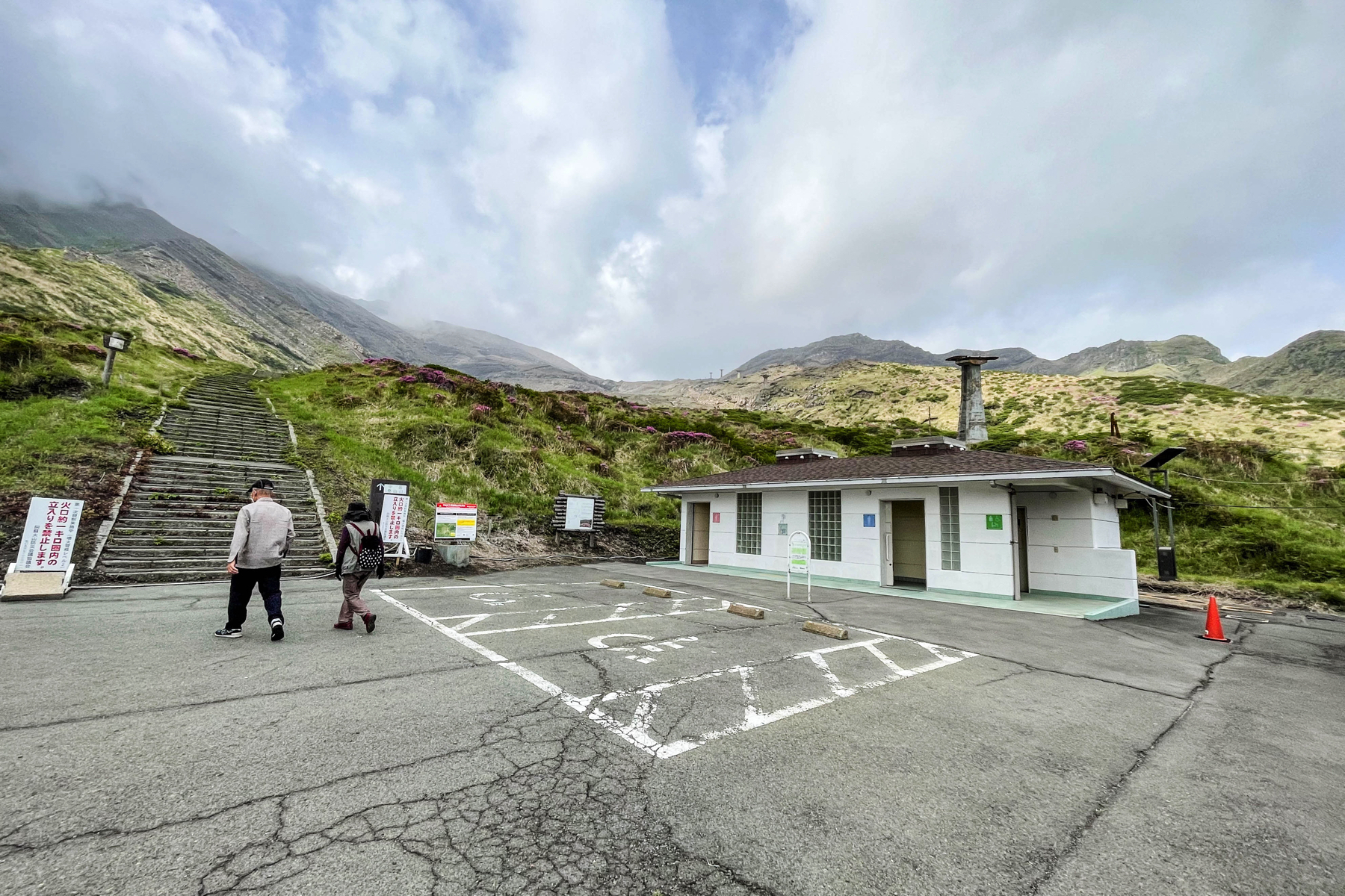 There is a toilet next to the Sensuikyo Information Center.When you start climbing, there is no toilet for about XNUMX hours along the way, so it is better to finish here if possible.
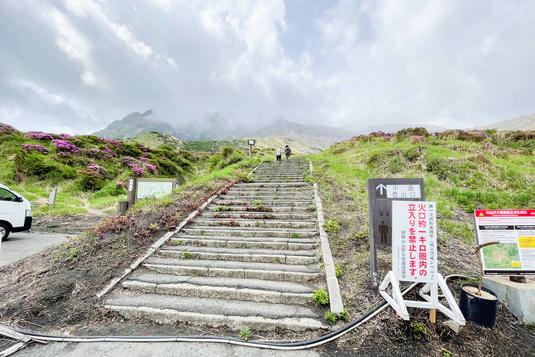 Then climb the stairs and start climbing. It says "Mt. Nakadake Trailhead".
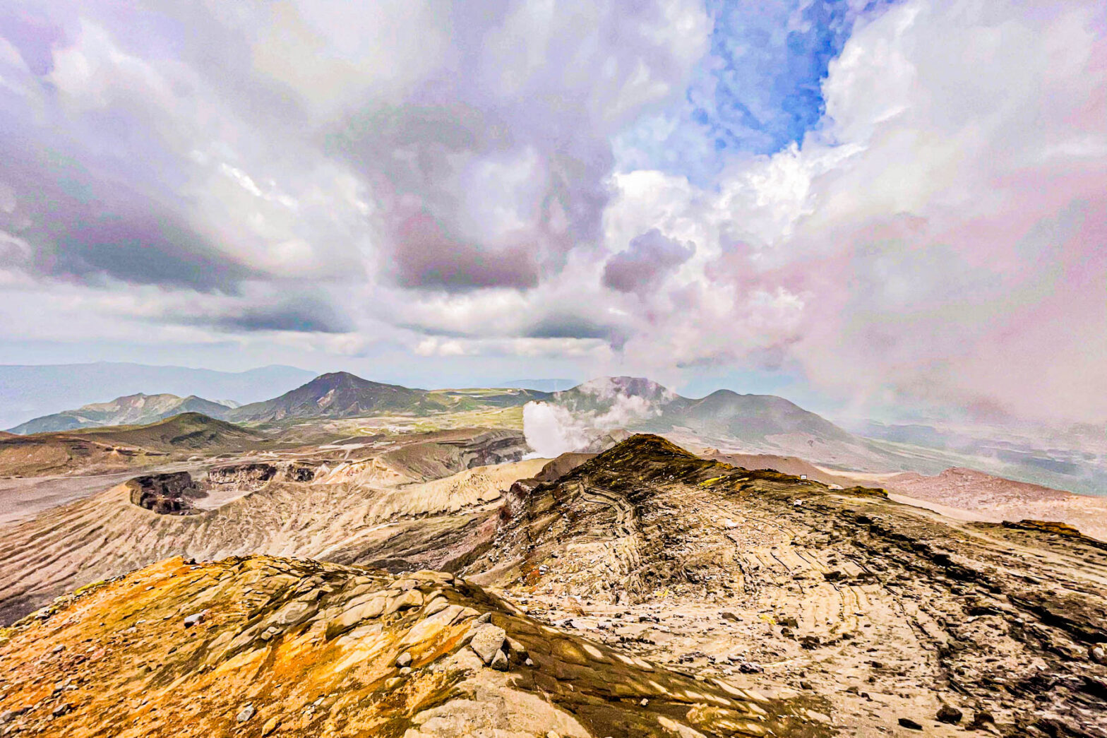
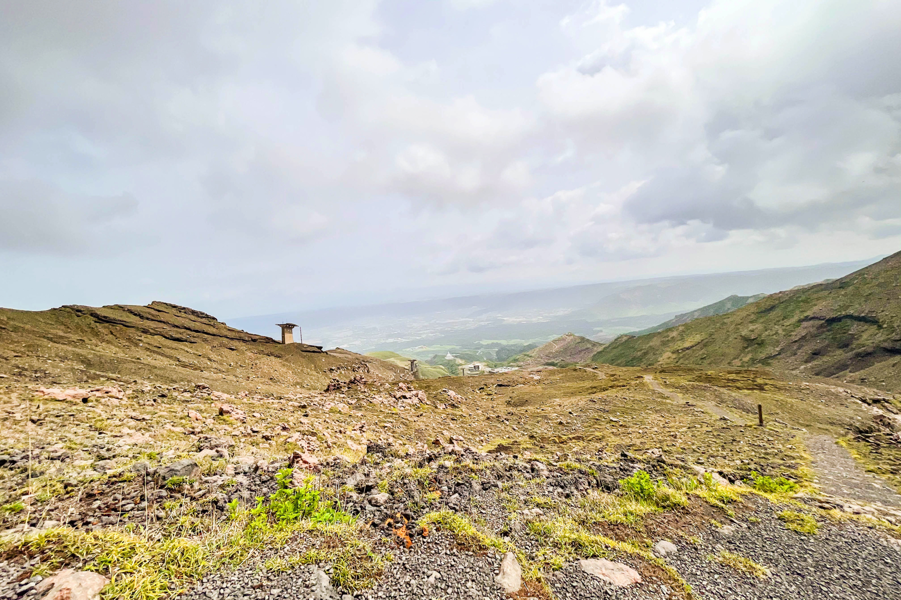
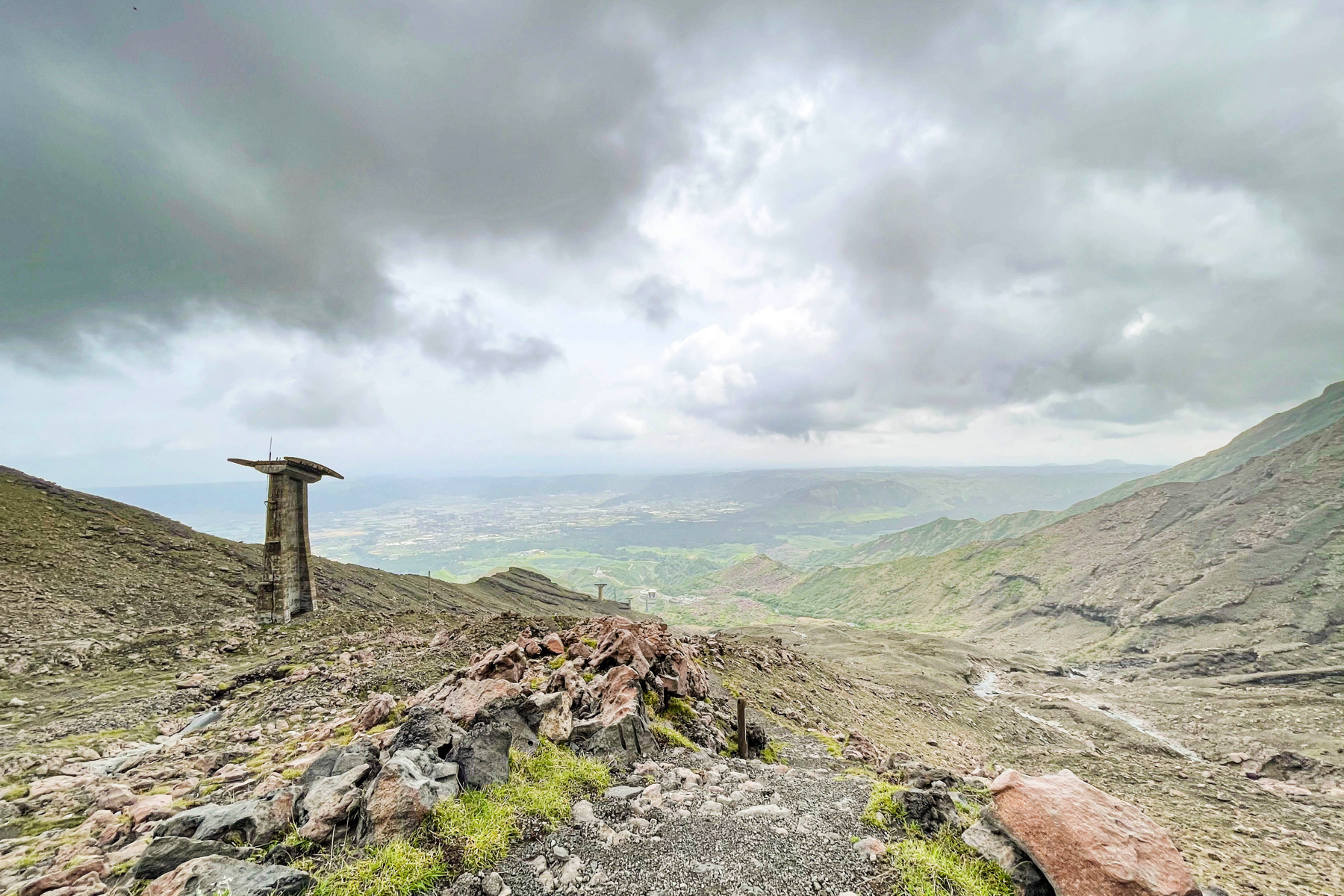
 When you climb the stairs and hit it, it looks like this.The mountaintop is at the back of the tower after the ropeway that can be seen in the distance.
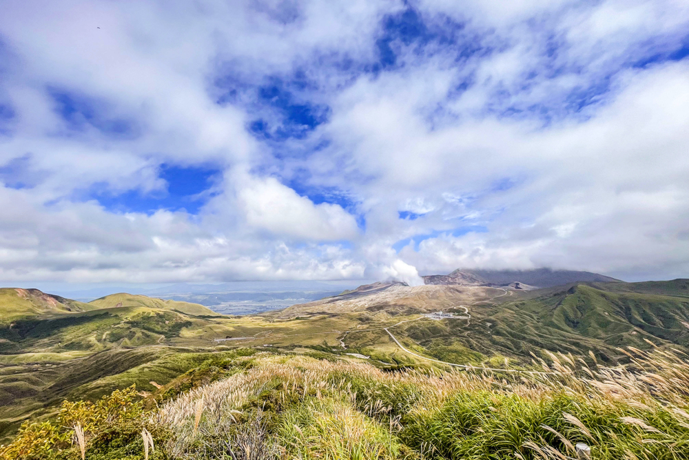
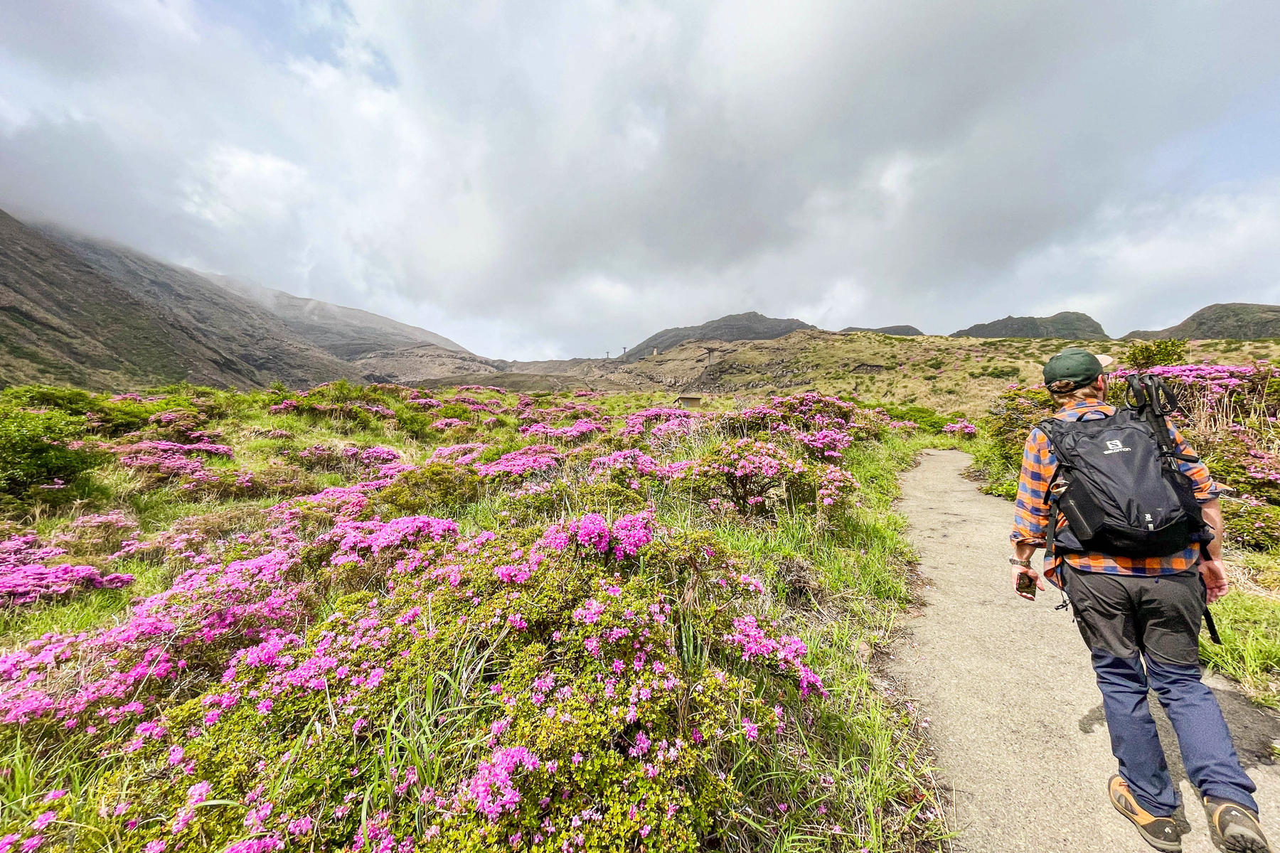 Turn right and walk.The road is easy to walk, and you can start while enjoying the seasonal plants.
 If you climb a little, you can see the trace of the ropeway.I walk while remembering that I climbed on this ropeway a long time ago.
 If you go a little, you will see a fork.There is a guide board at the fork, so head toward Nakadake.
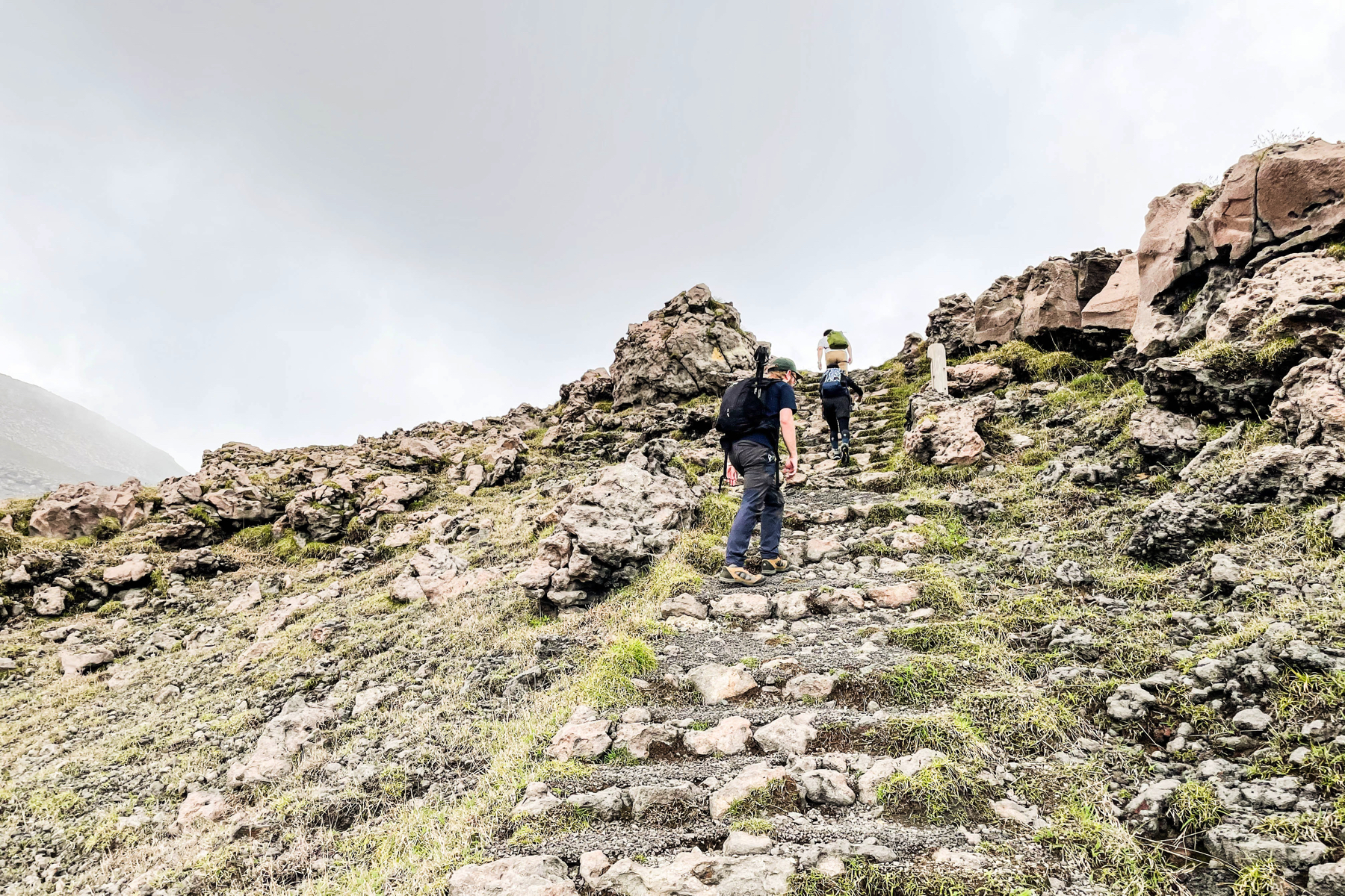
 It's been about XNUMX minutes since I started walking.The road starts to get a little rugged, but it's still well maintained and it feels more like trekking than climbing.
 However, since I'm climbing all the time, I can breathe a lot.
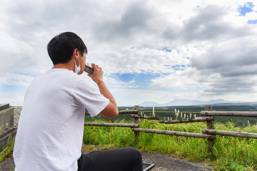
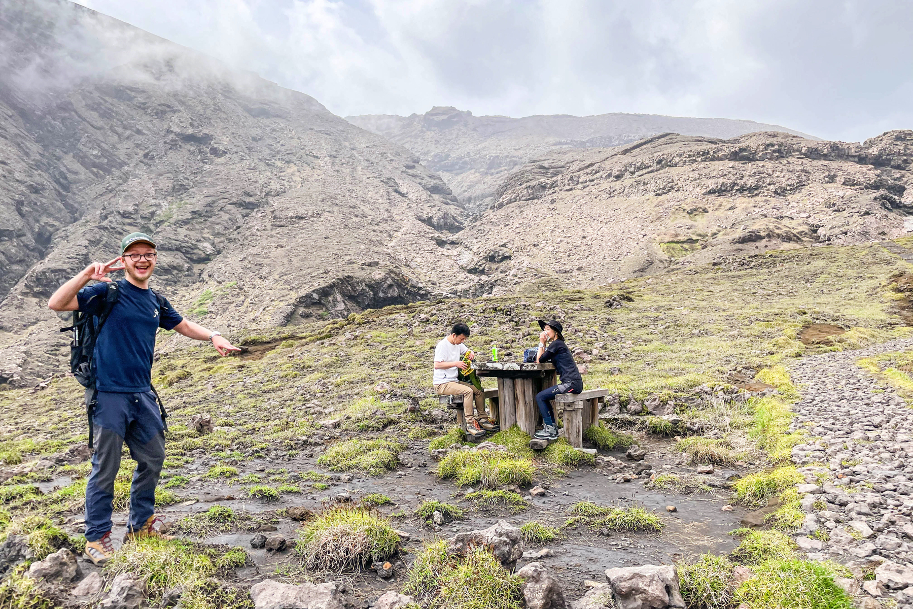 There is a rest area on the way, so it is recommended to climb while taking a leisurely break at your own pace.
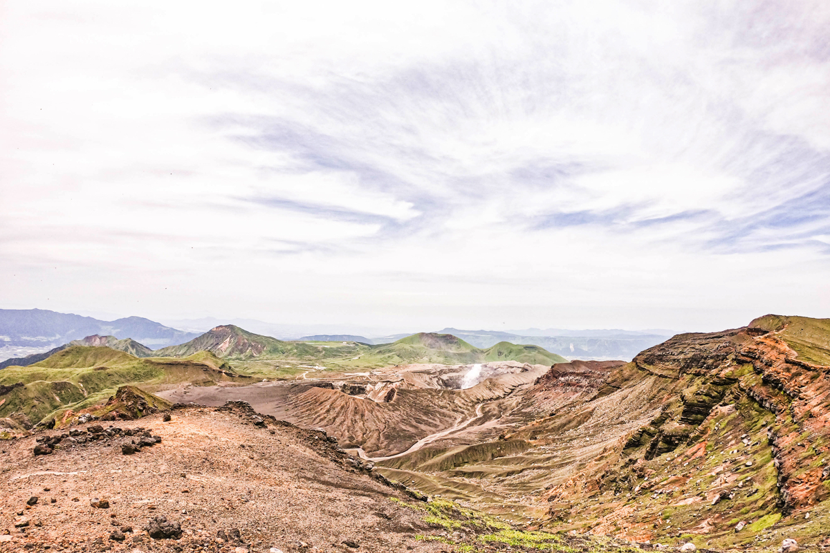
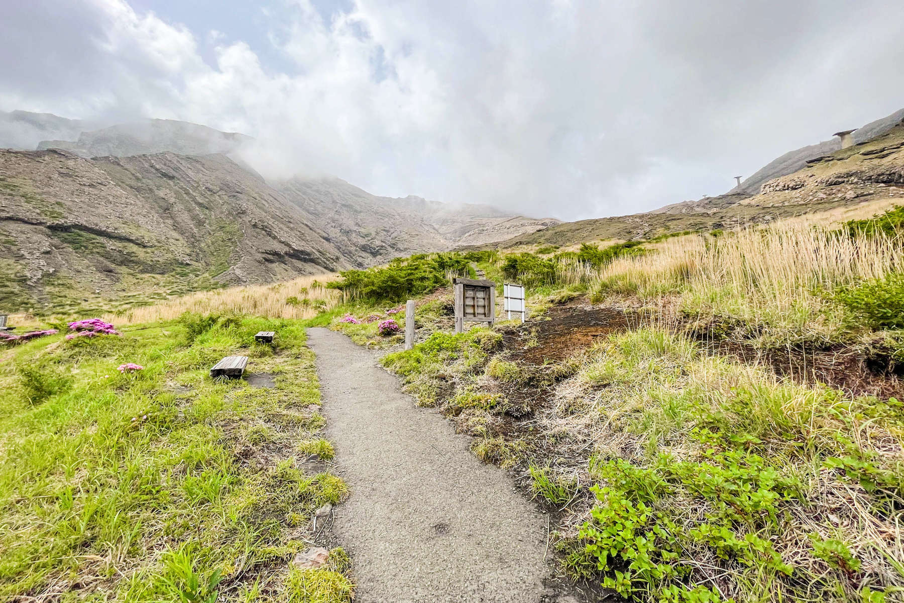
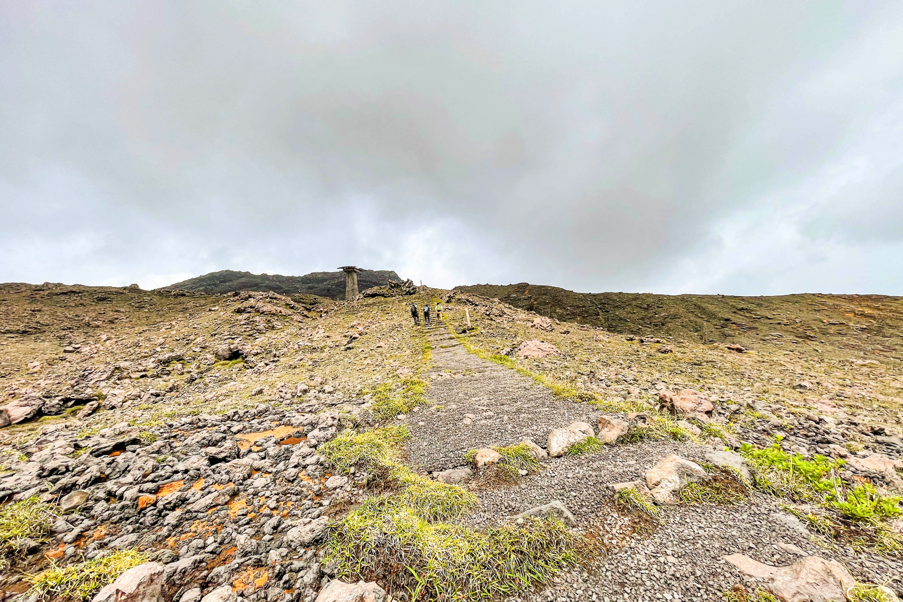 As I continued to climb, the landscape of vegetation changed to a rocky landscape before I knew it.
 The weather was bad on this day, but if it is sunny, you can climb while feeling the magnificent scenery of Aso.
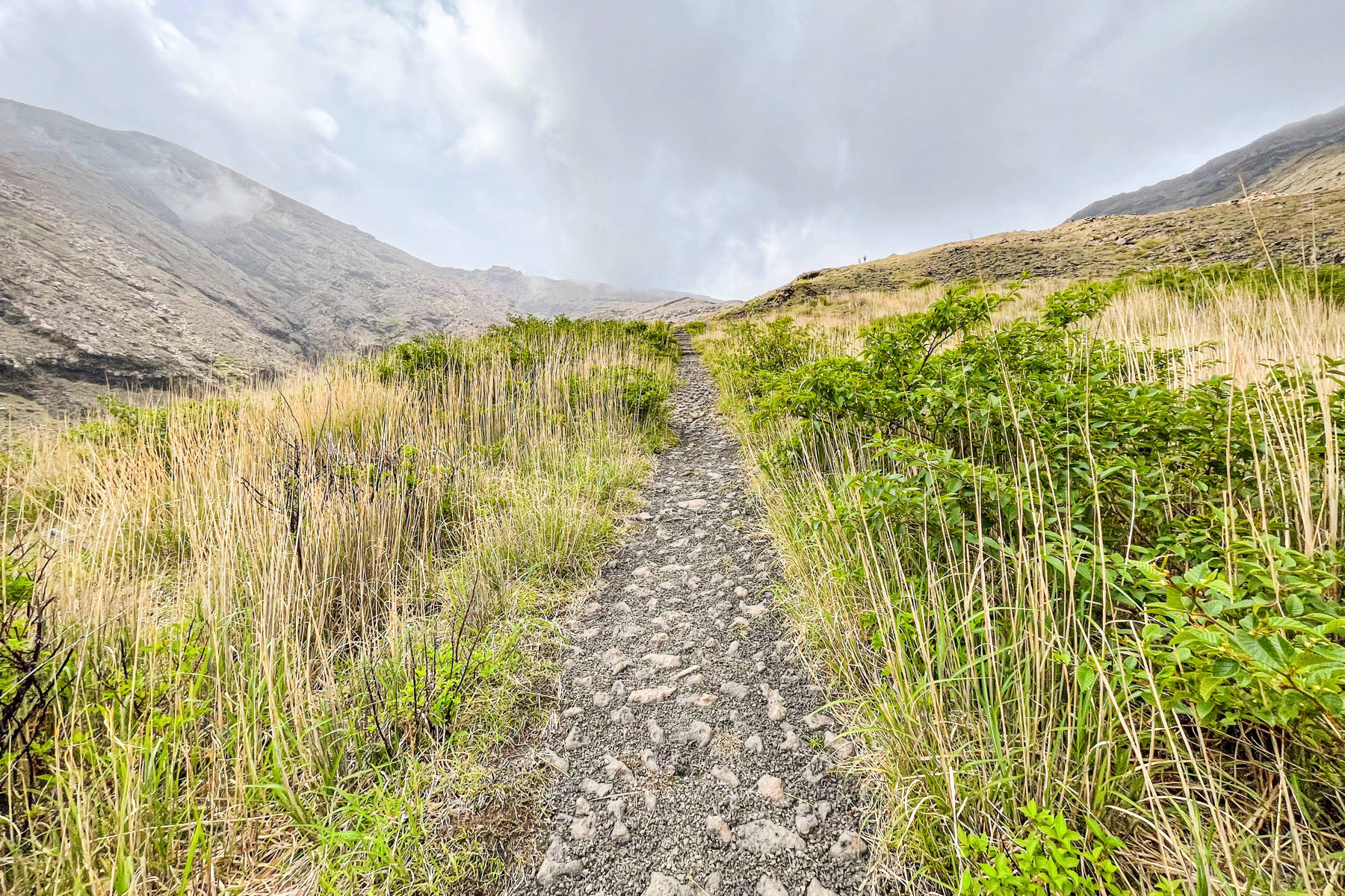
 About XNUMX meters from the start.Continue climbing from here.
 The more you climb, the stronger the feeling of another world.
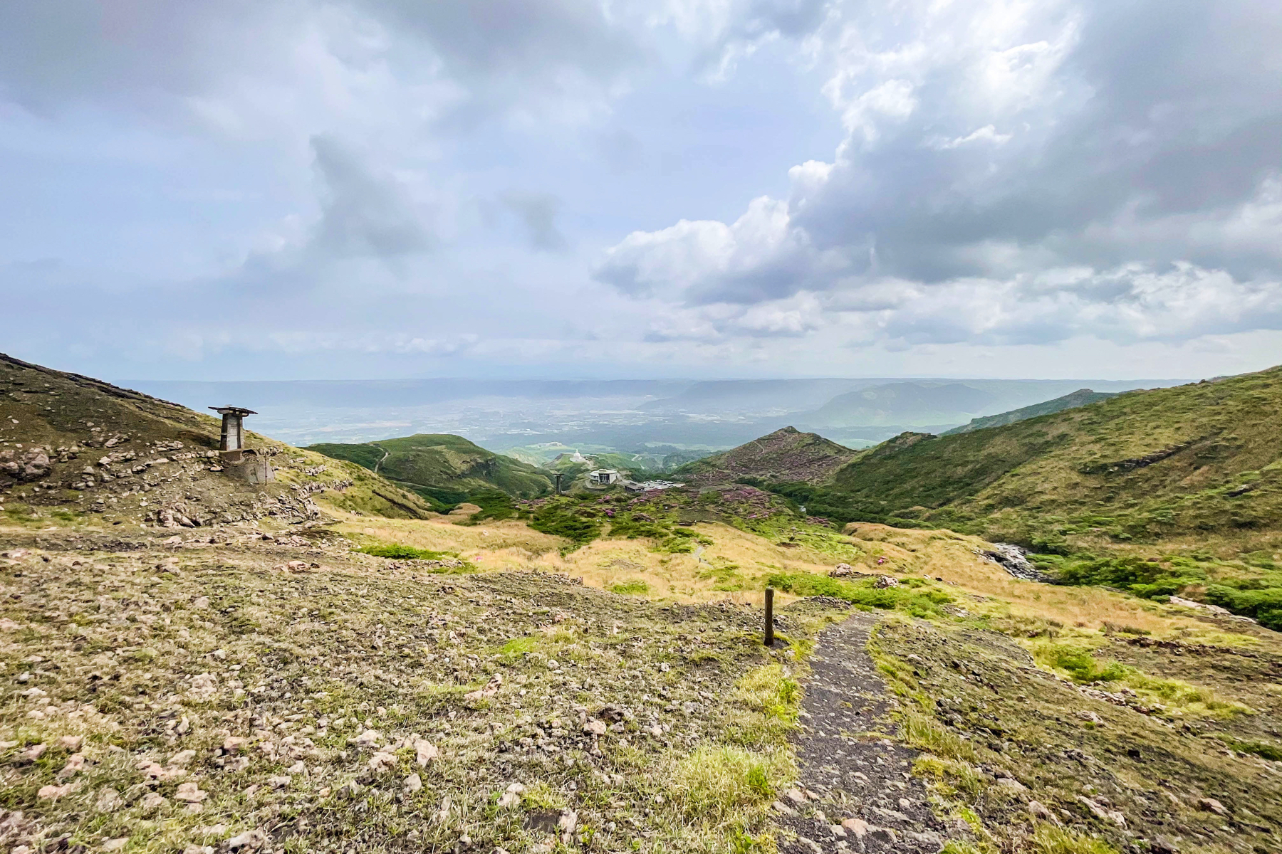
 The point about XNUMX meters after starting to climb.If you want to turn back, it's here.
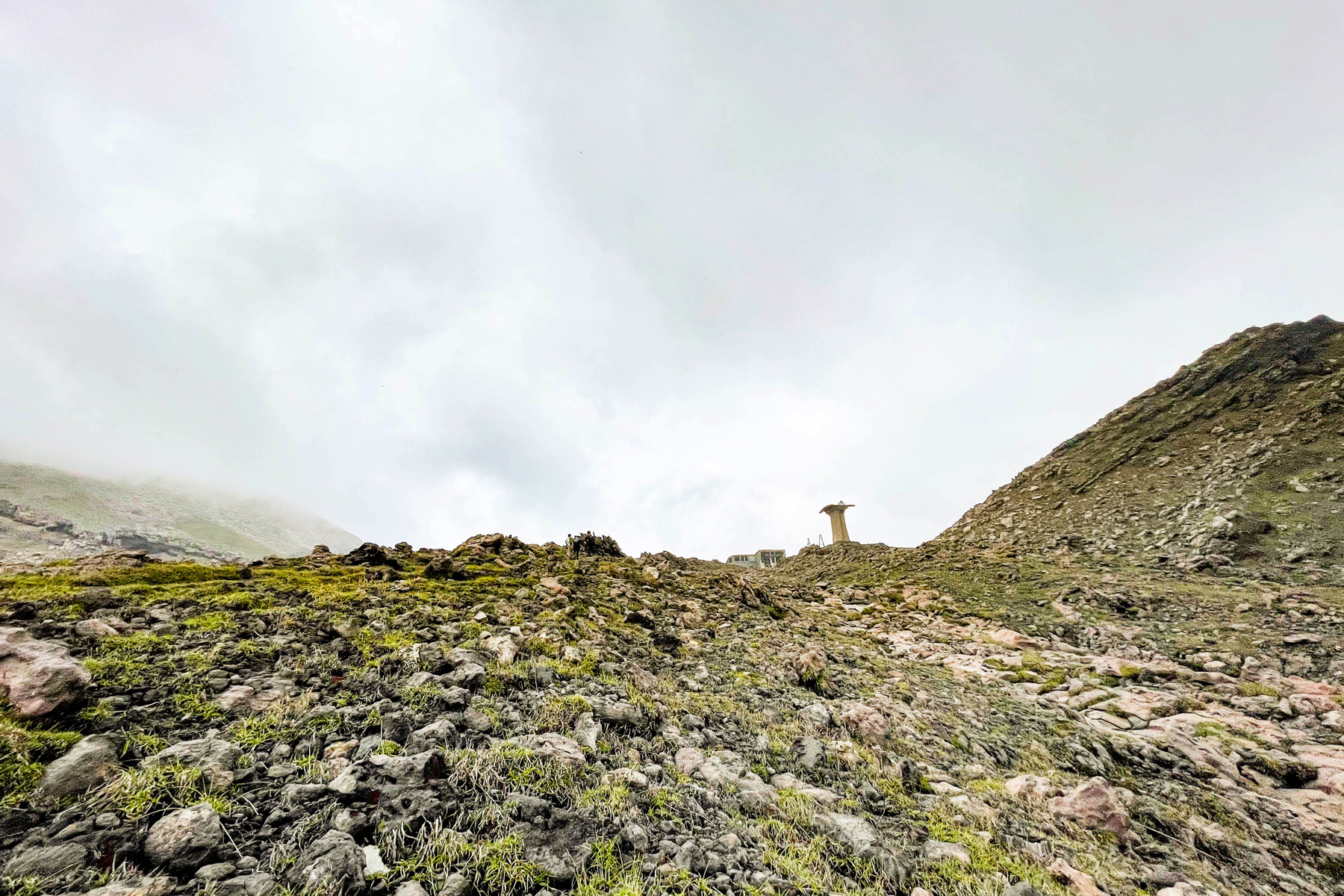 To be honest, from the start of mountain climbing to the descent, it was really hard for me to get here, and I really thought about going home about XNUMX times.
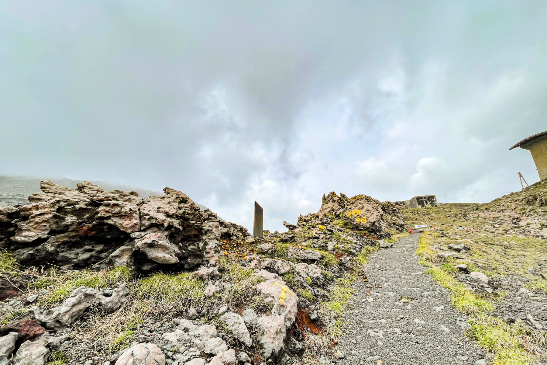 When you start to see the end of the ropeway, the straight road is closed and there is an arrow to turn left.From here is the new route, the sparrow rock detour route.
>>> From the next page, the sparrow rock detour route is finally here!