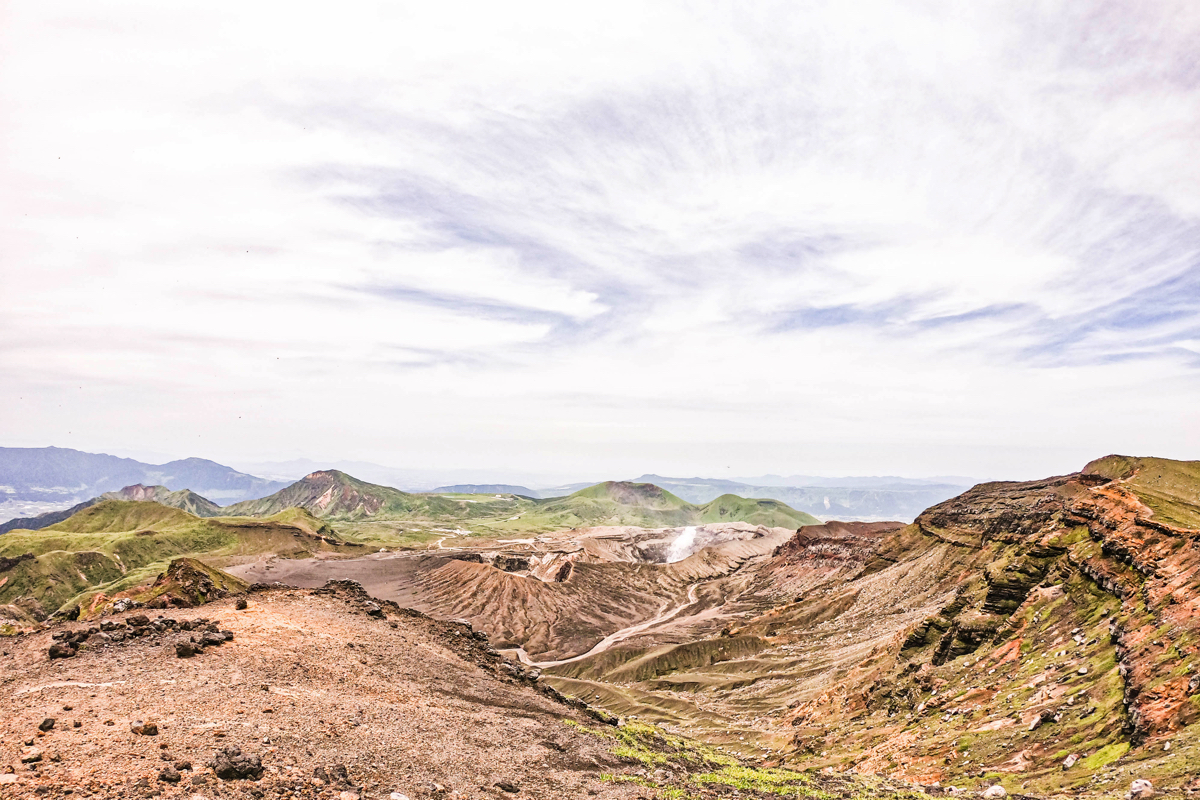
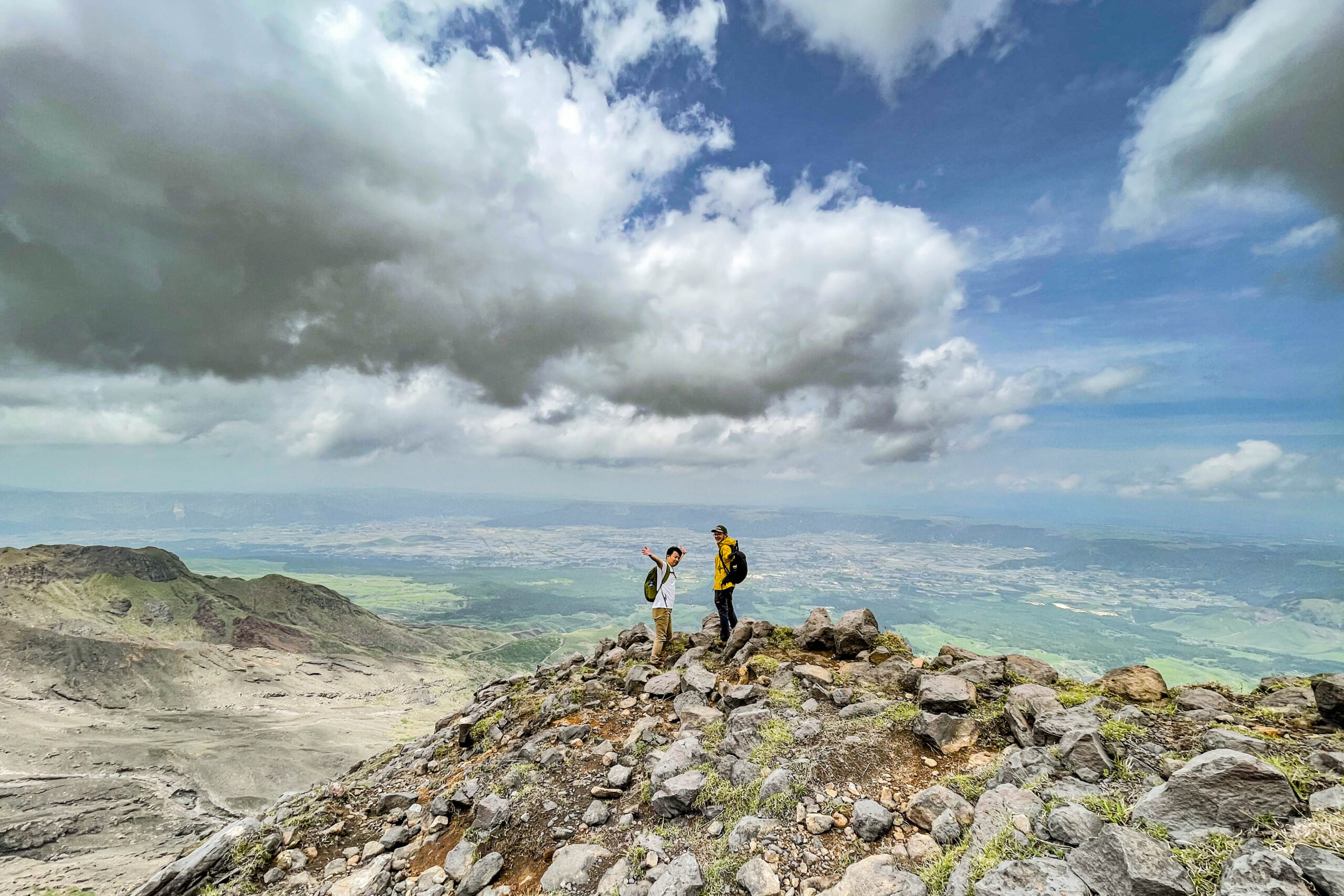
 After enjoying the view of the summit of Mt. Nakadake, head to Takaoka.
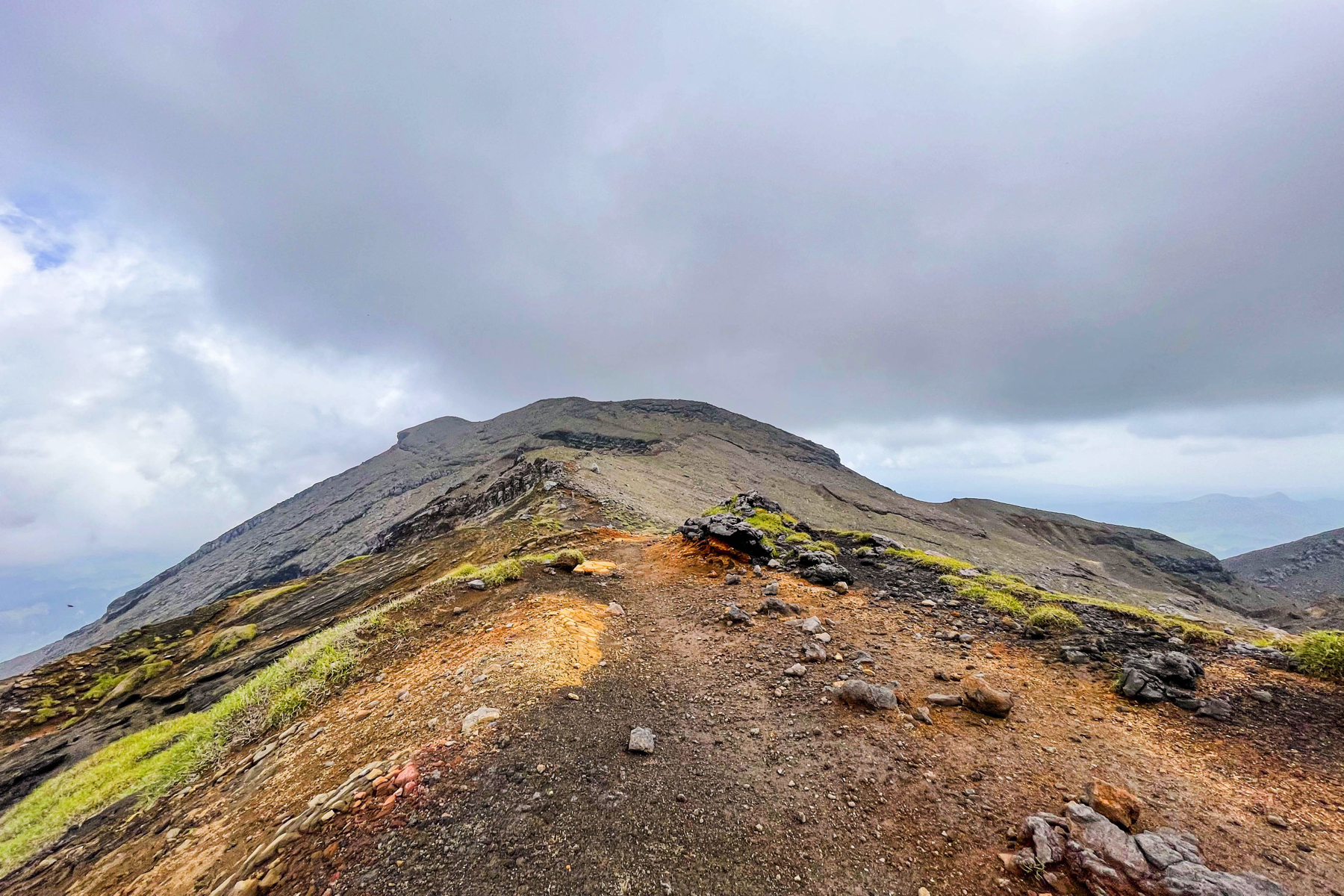
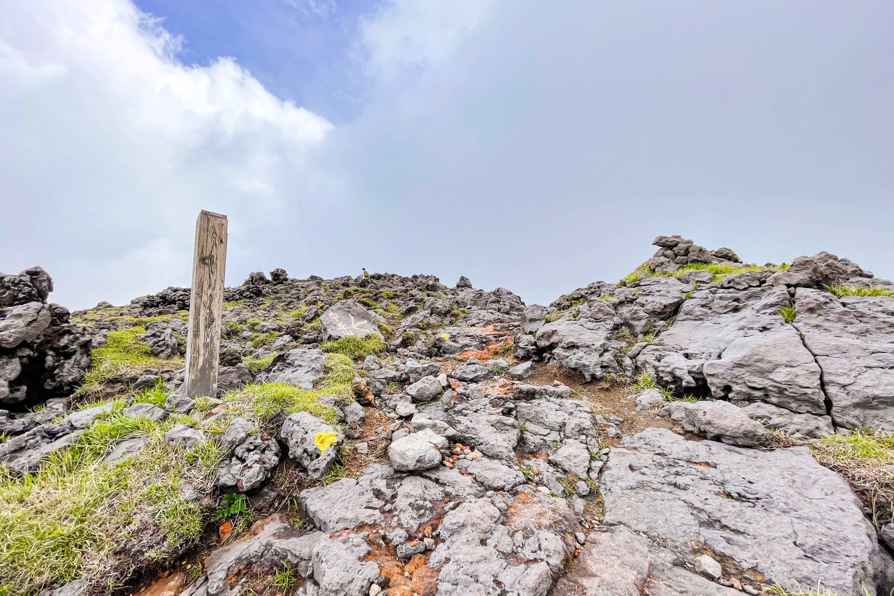
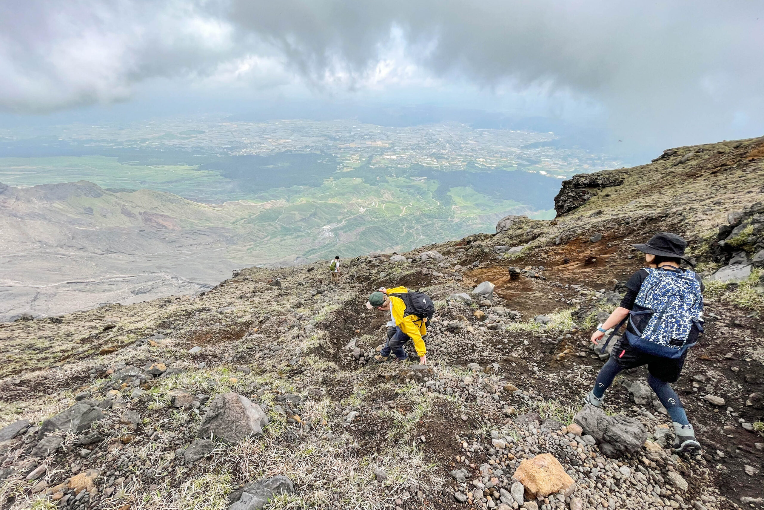
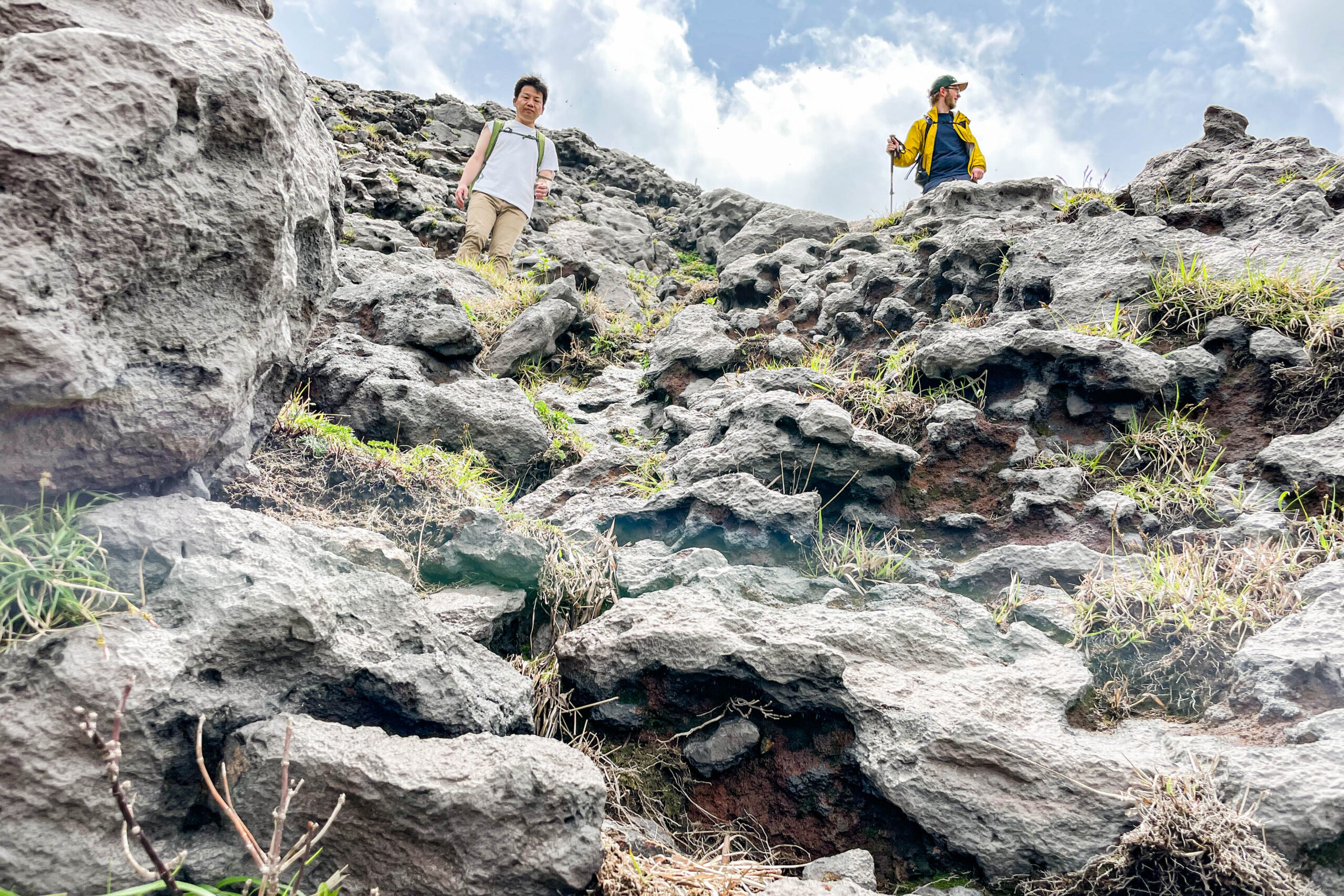
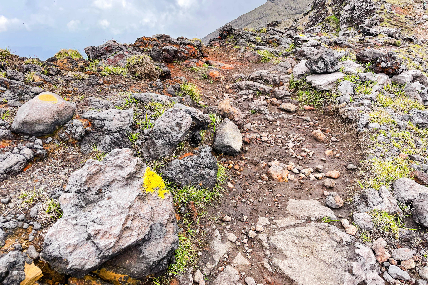 Walk along the ridge toward Takaoka.If you follow the yellow paint as a landmark, there is no doubt about the road.
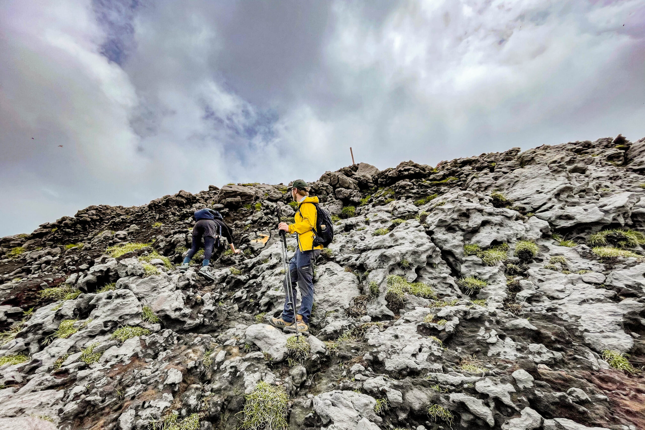
 Climb.
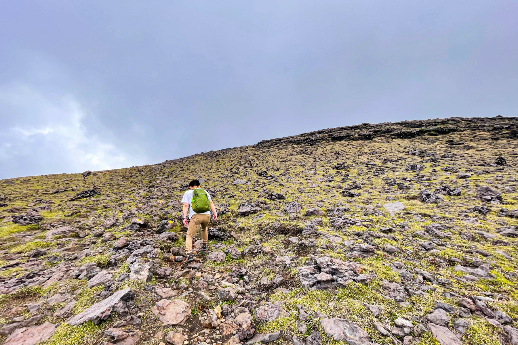
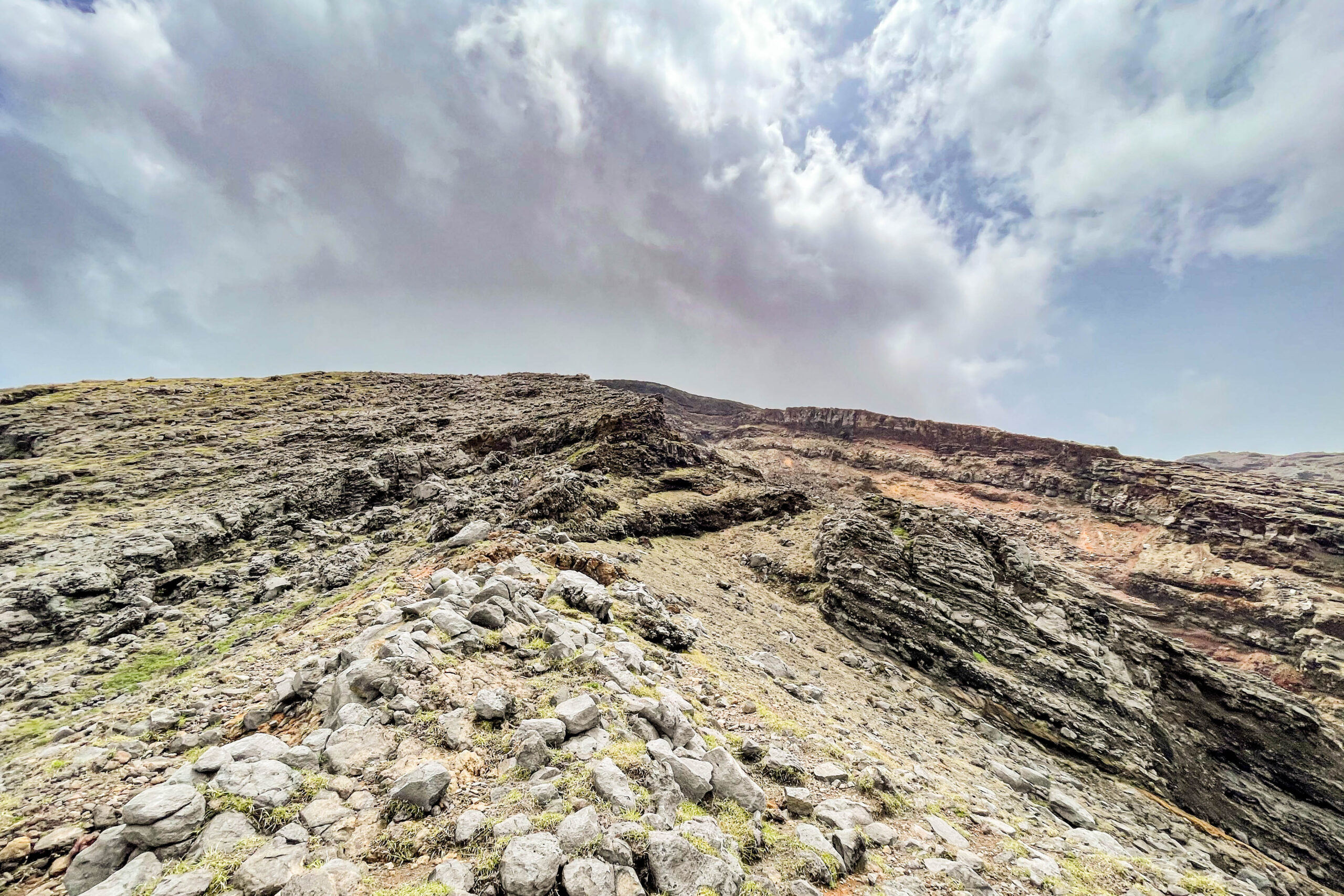
 Large rocks are rugged.I will walk up on this.
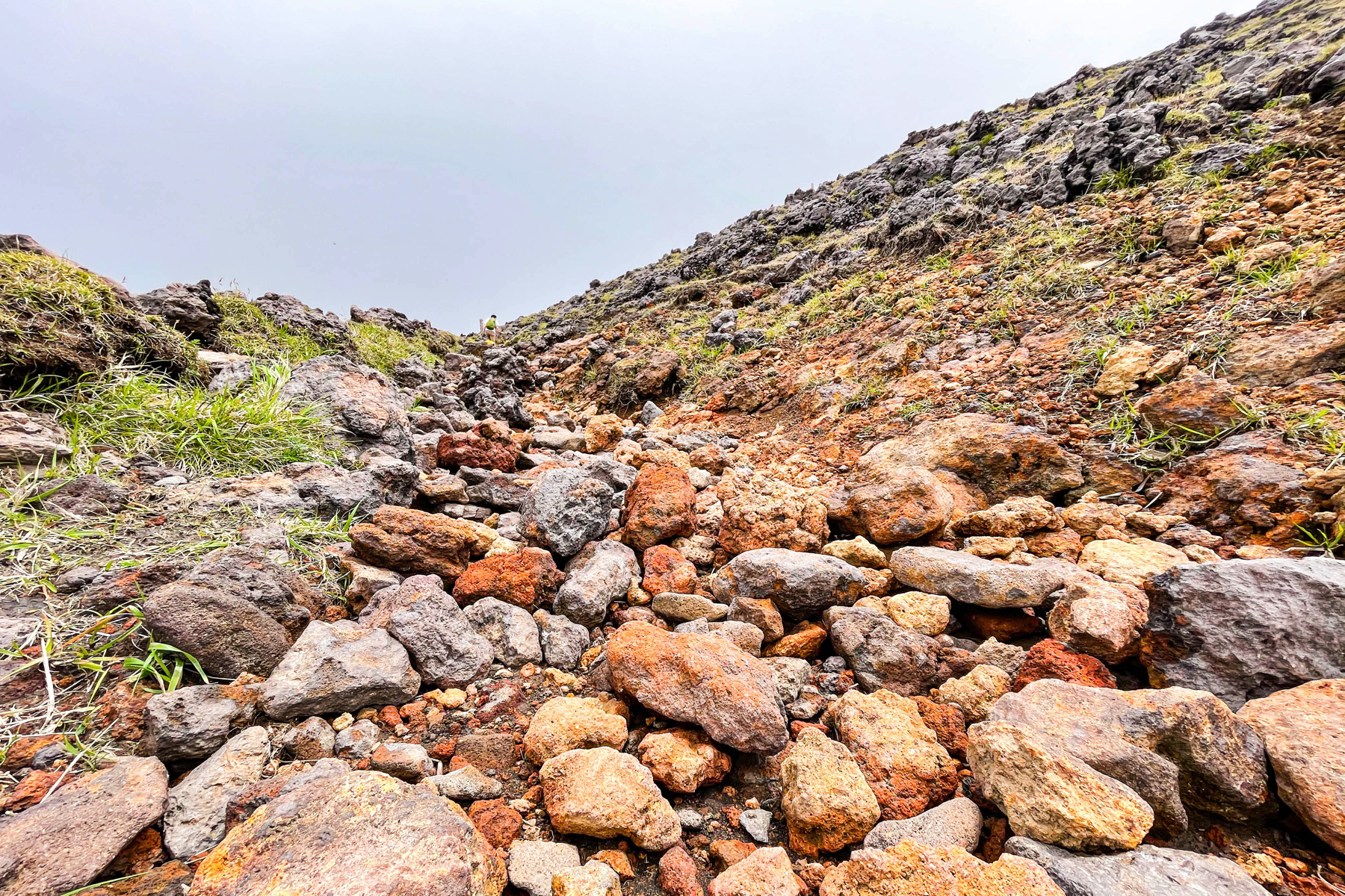
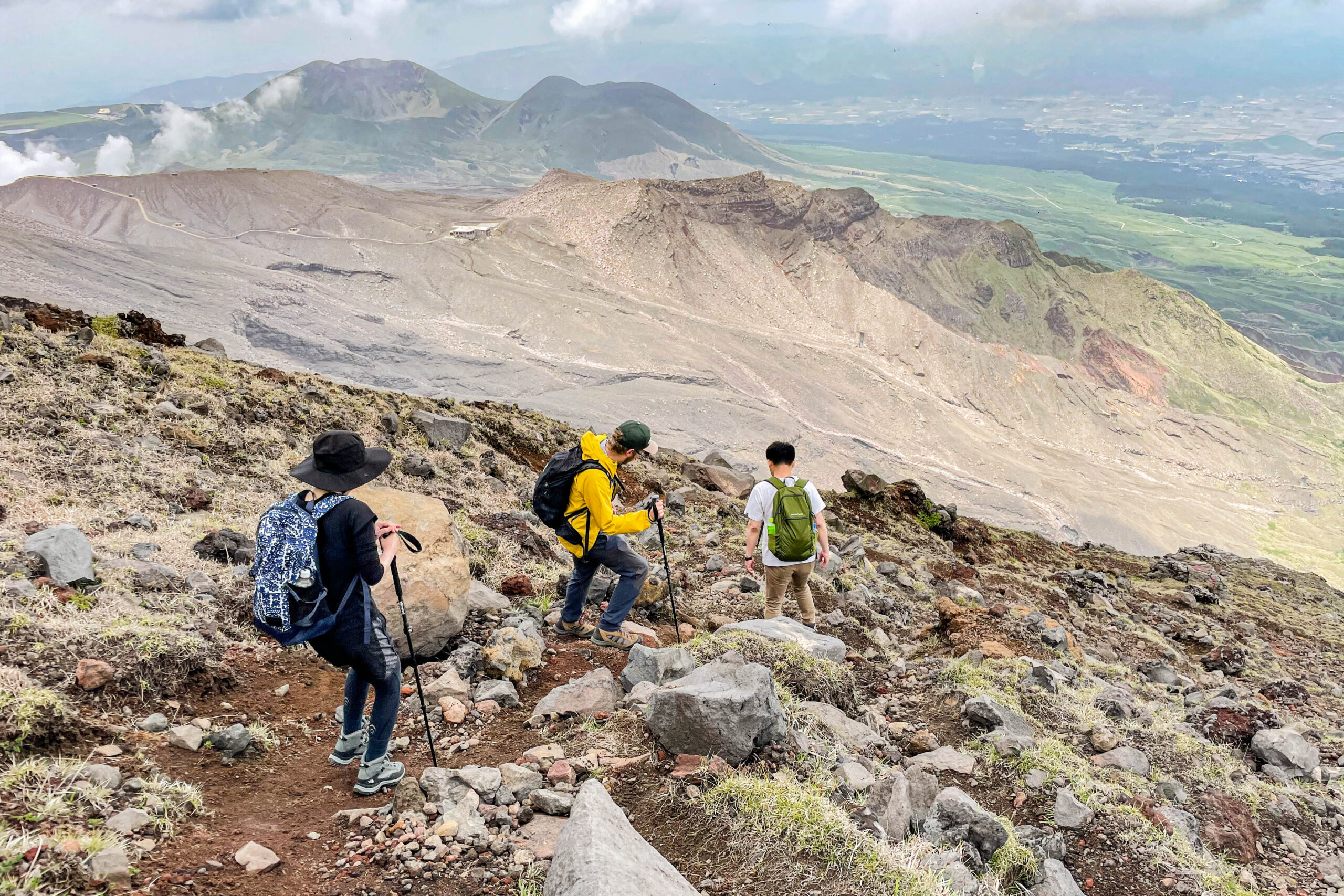
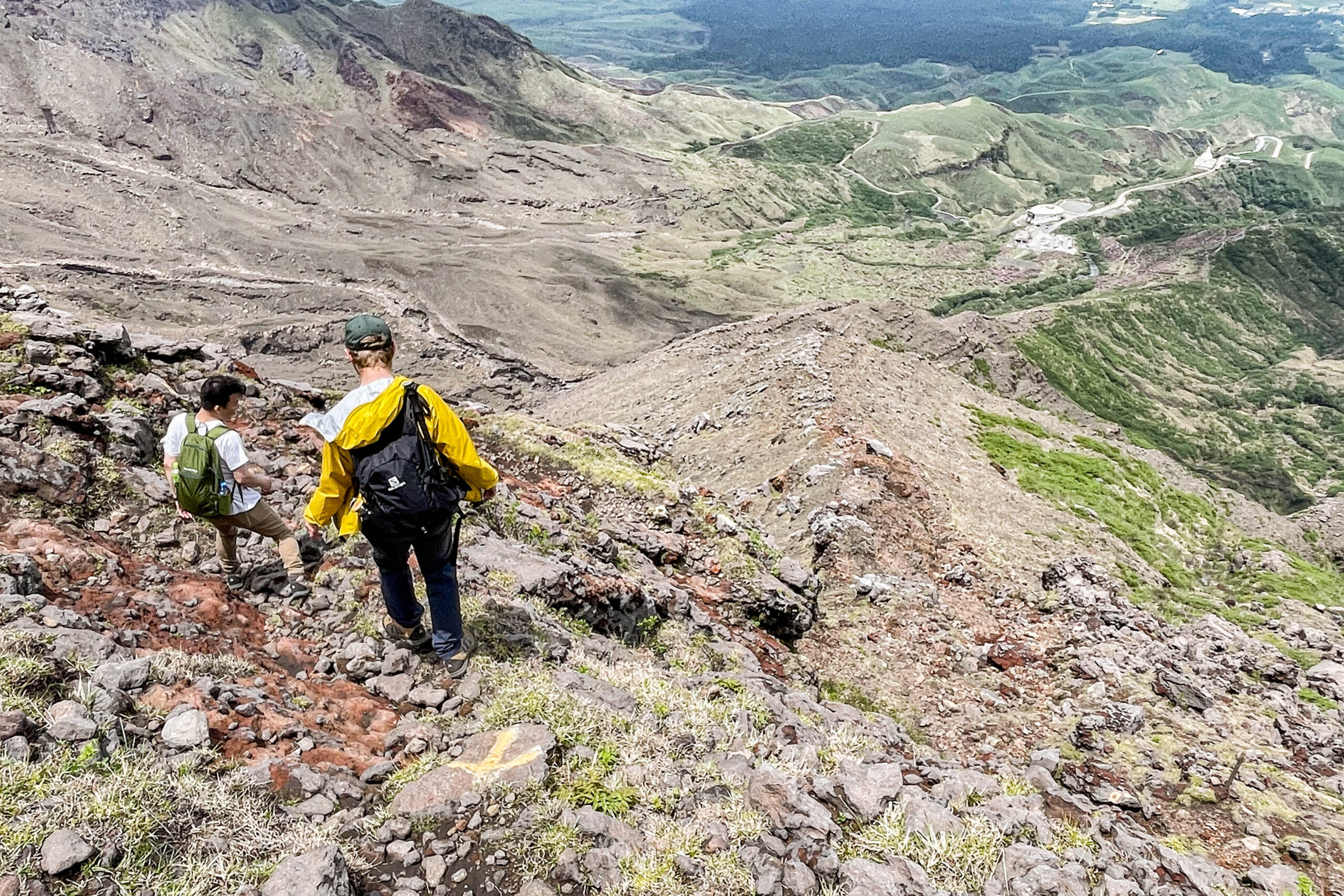
 The last one is a pretty slope, but it takes less than XNUMX minutes from the summit of Nakadake to the summit of Takaoka.
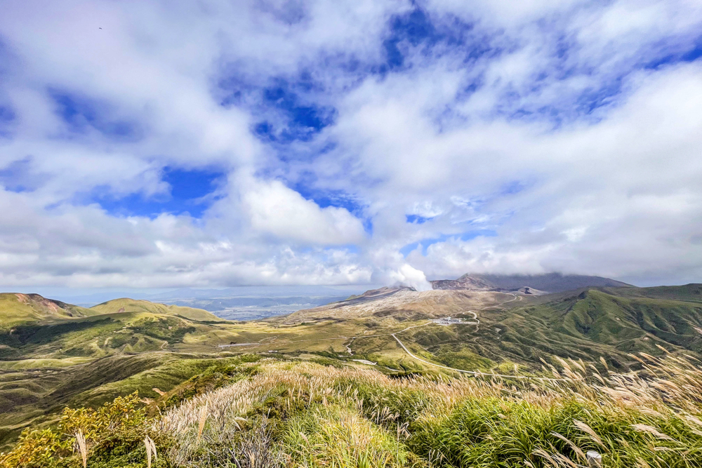
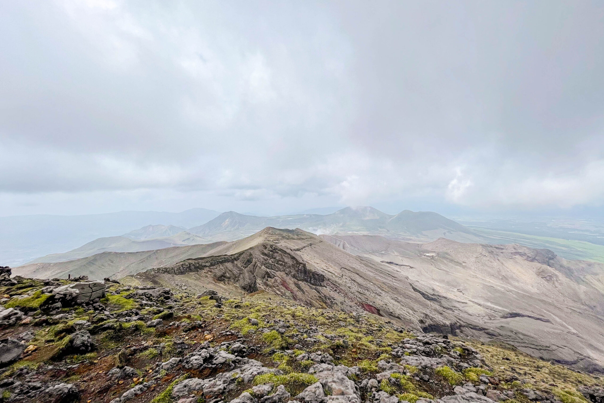
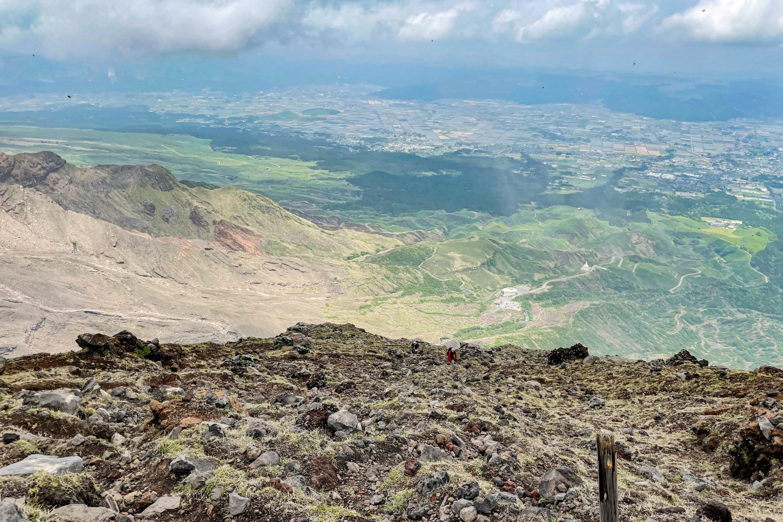
 There are some shooting spots like this on the way, so you can enjoy climbing.
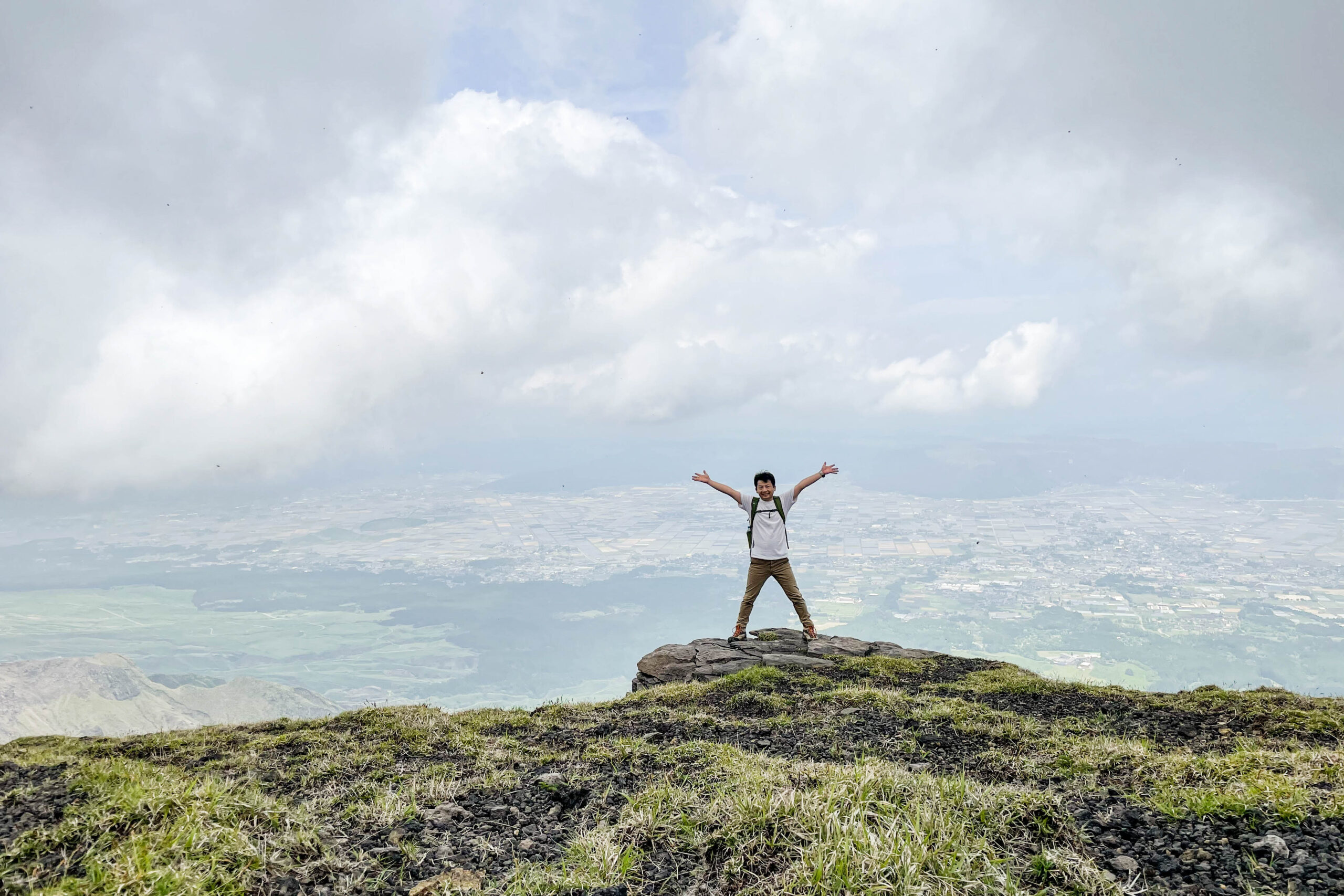
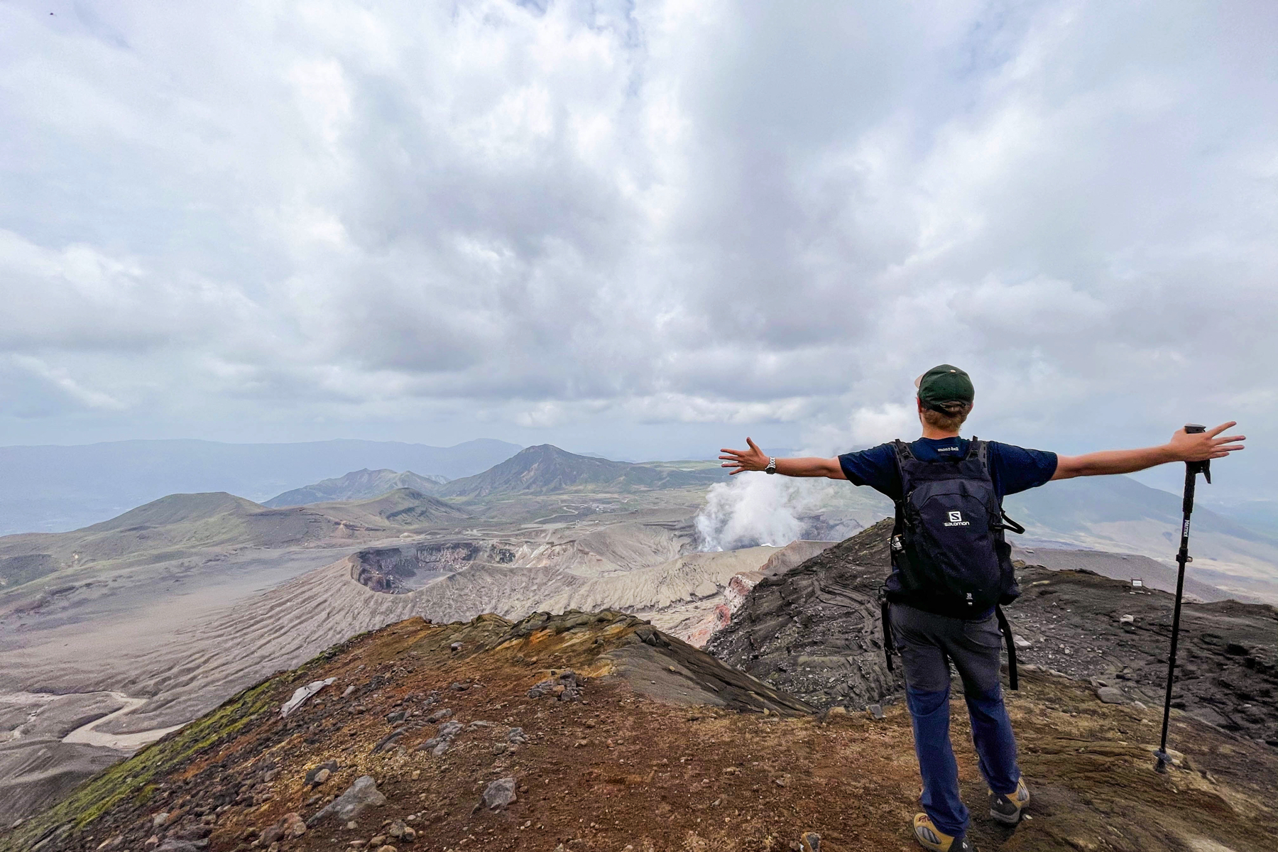
 And Yamagami looks like this. XNUMX meters! I feel like I was told when I was little to remember "Hi, Go, Ku, Ni".
 Down from here.The Sensuikyo parking lot is about XNUMX meters away, so I wonder if I can go home quickly.I thought, but unexpectedly it was a very steep road.
 You need to be careful because the slope is great and your feet slip.
 The descent is also superb.
 It's safer to have a cane, and I think it's better to have gloves.
 It's quite steep, so I'm really careful when going down.
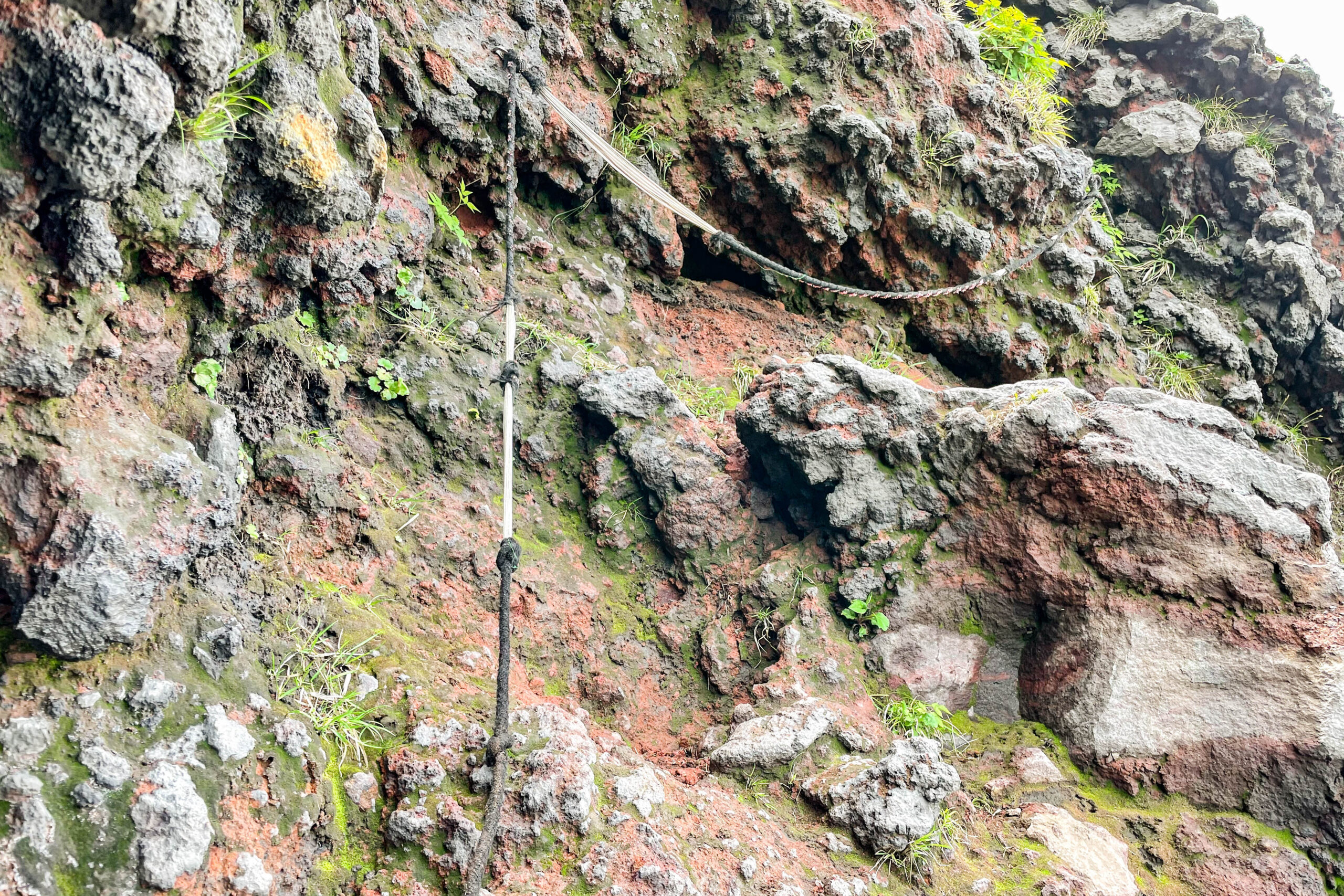 This is also a rope and sidewalk on the way.
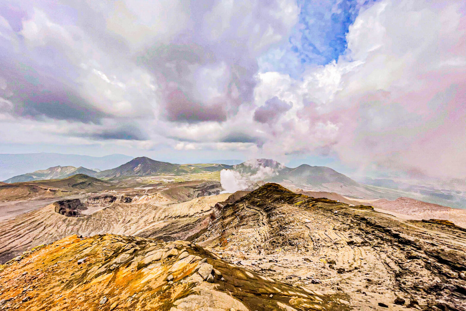
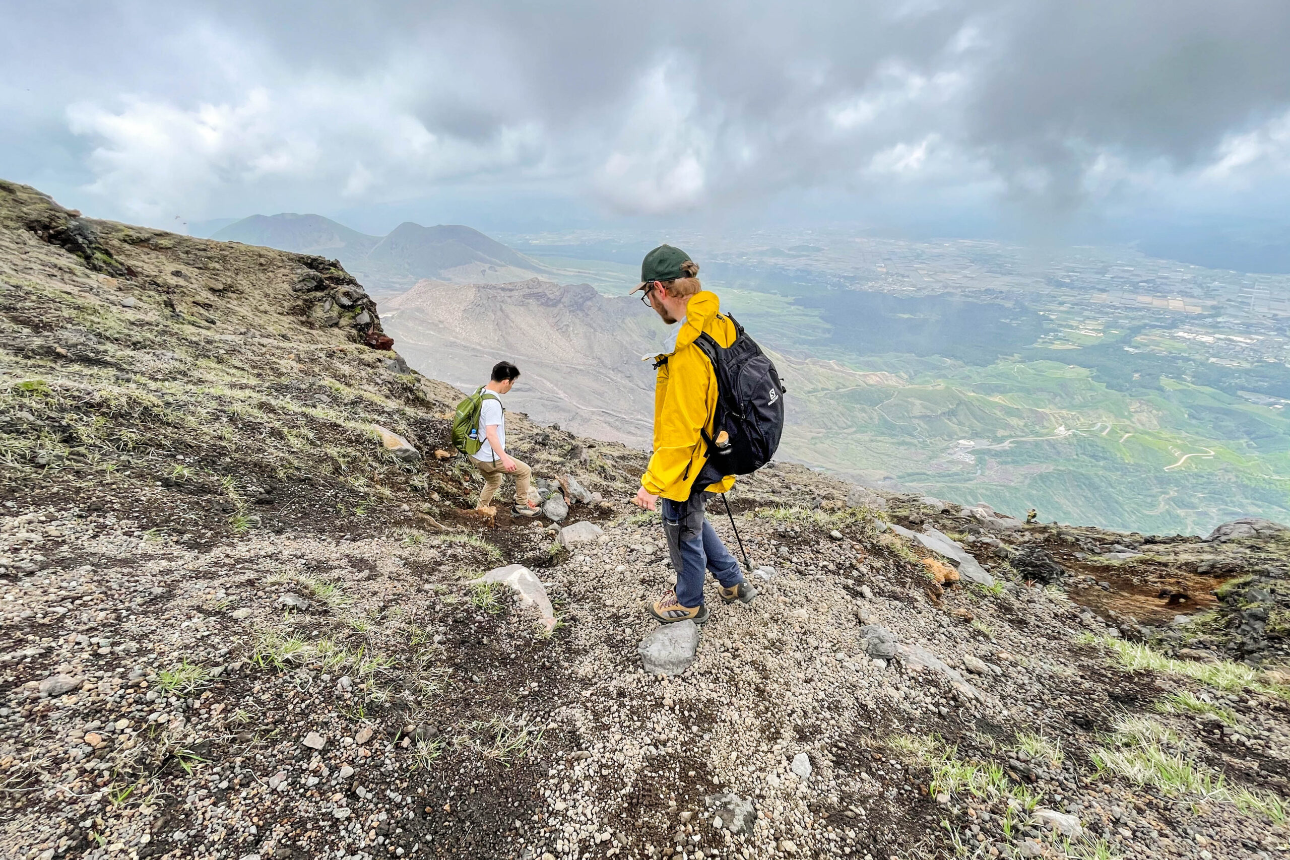
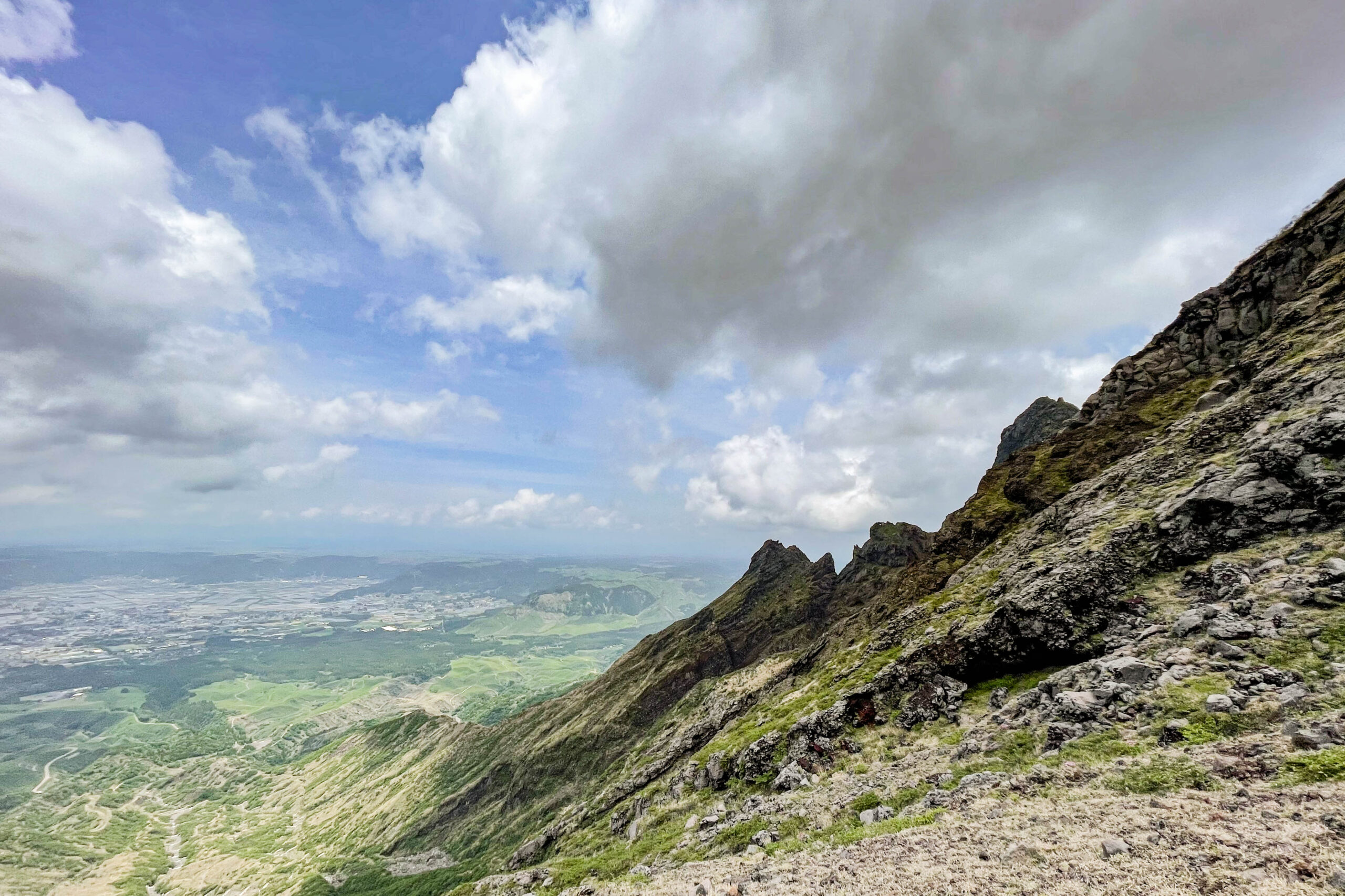 If you look sideways, you can see Mt. Neko.
 Since the extraordinary space full of rocks is continuous, I will go down while taking frequent breaks.
 It's like a shooting spot here and there.It's a steep road, but it takes about XNUMX hours to finally go down the mountain.
in conclusion
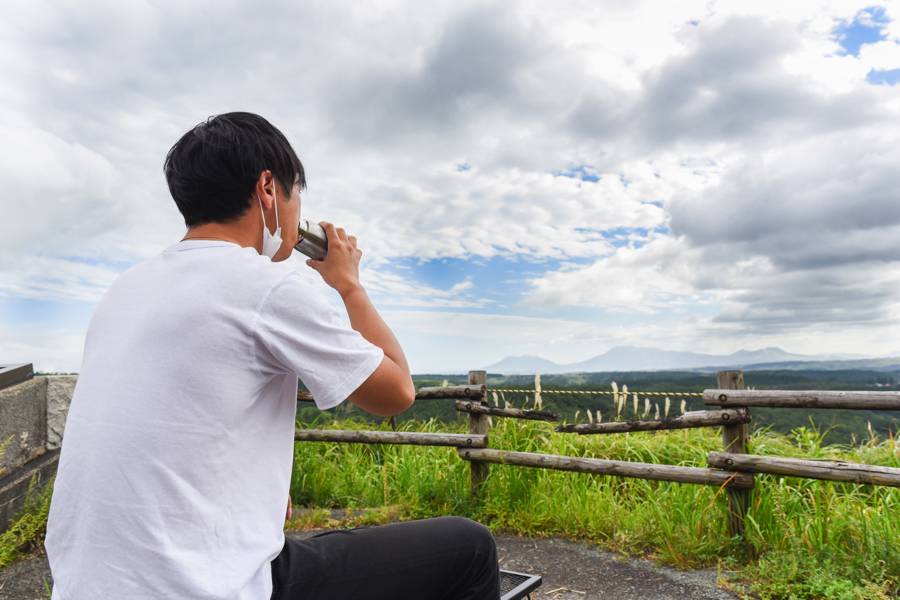
 This was my first time climbing (I just bought shoes about a week ago), but I managed to climb up and down. I started climbing at XNUMX o'clock and returned to the parking lot at around XNUMX:XNUMX.Along the way, I drank about XNUMX liter of water and ate crispy plums.The crispy plums I ate on the mountain were so delicious that I couldn't believe they belonged to this world.
This time, I couldn't climb with my camera because I wasn't physically fit (taken with my iPhone), but next time I would like to do my best to make a better introduction.
see you.
< Previous 1 2 3