 Hello. This is Morinaga from SMO Minamioguni.Last time, I introduced the Suzumeiwa detour route as a new mountain climbing route for Aso Nakadake, but it's hard anyway.So, this time, I would like to introduce another detour route with a slightly lower hurdle, the Sarayama detour route.
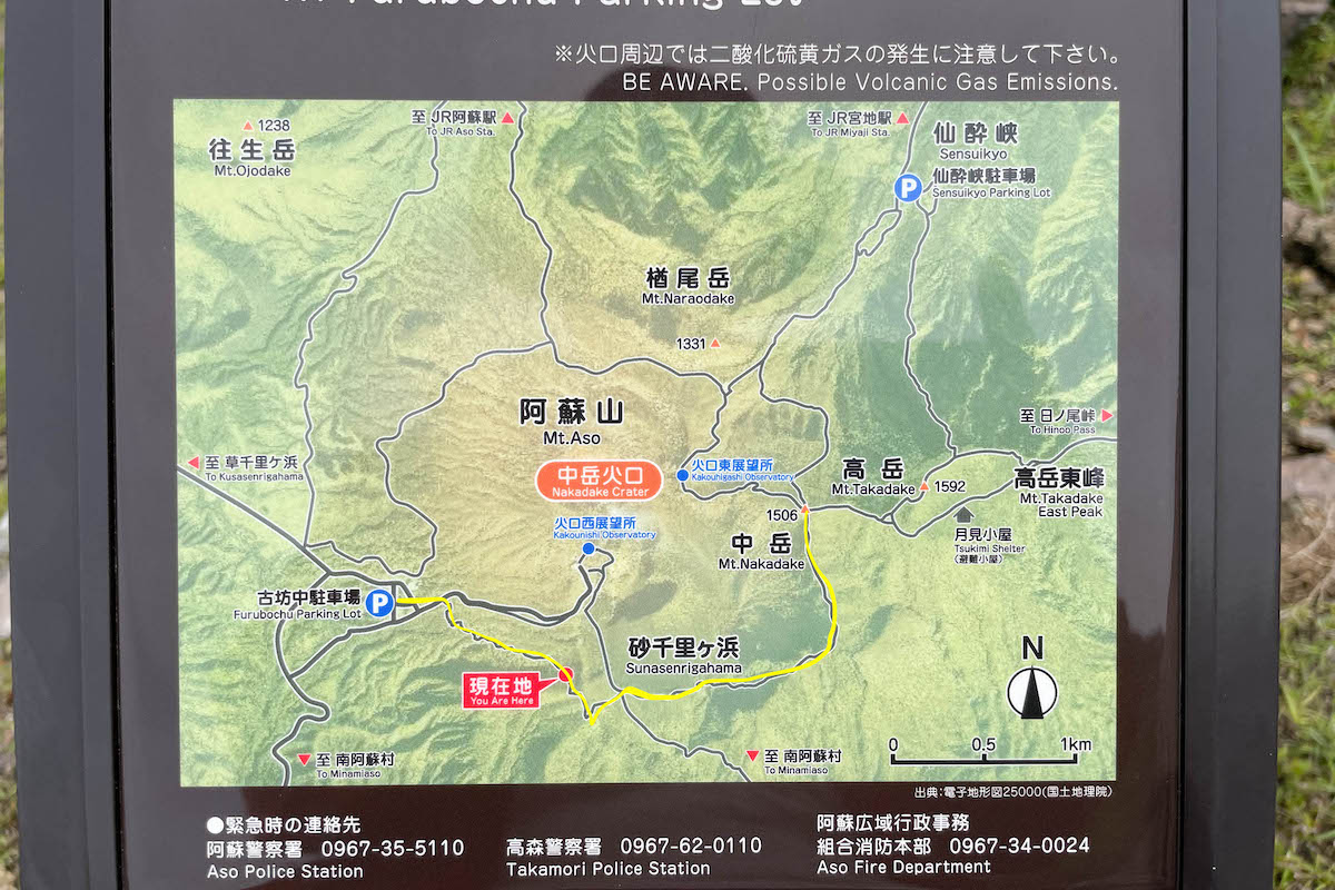 Click here for this time.You can walk from the parking lot of Aso Sanjo Square, cross Sunasenri, and climb Mt. Nakadake and Mt. Takaoka.Due to the parking lot, I had to come back on the same road, but it took about three and a half hours for a round trip.It is a mountain climbing route that is slightly less difficult than the sparrow rock detour route.
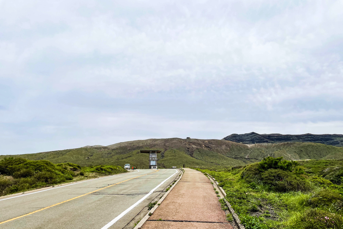
 Click here for the parking lot.Park at the parking lot on Mt. Aso.There is also a toilet, so prepare here.
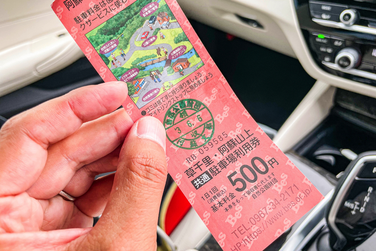 By the way, it costs 500 yen to park in the parking lot, but on the same day you can also go to Kusachiri (the parking lot where the Aso Volcano Museum is located), so if you can afford it, please drop in after climbing. I think.
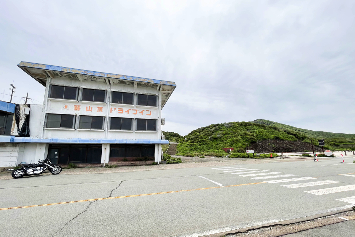
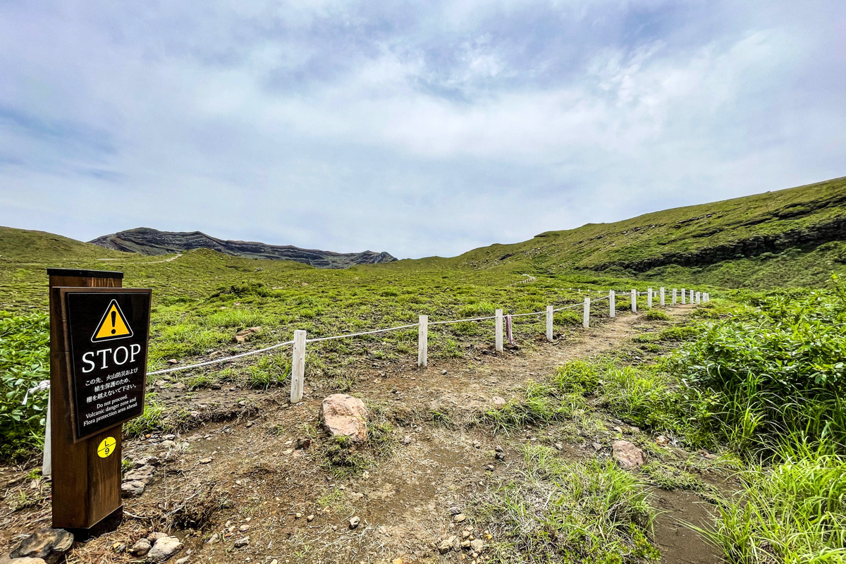
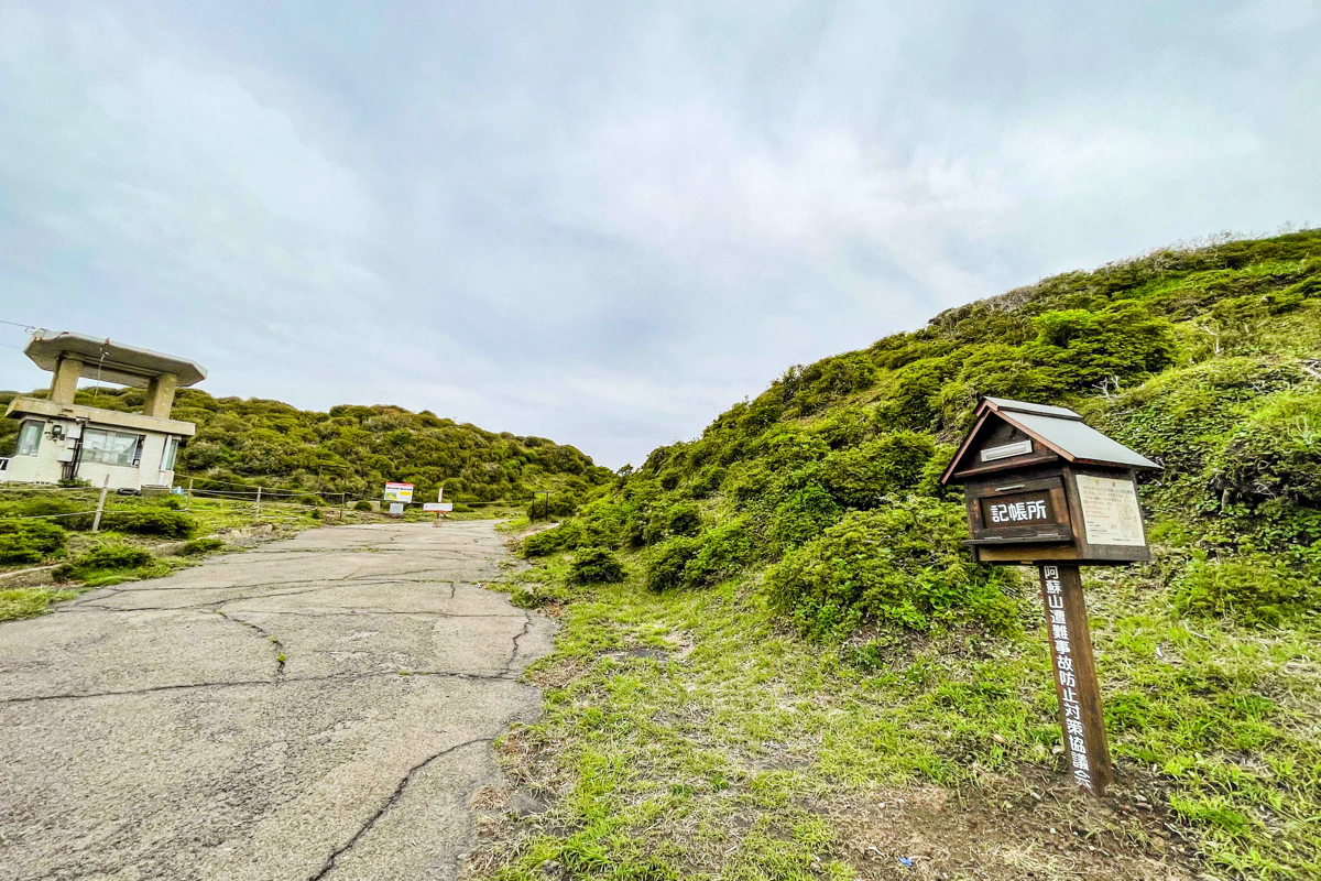 If you go through the road next to the Aso mountaintop drive-in, you will find a bookstore.I think I should submit the mountain climbing notification here.
 Then, if you walk along the road, you will find a building that looks like a tollhouse.From here, turn right and start the Sarayama detour route.
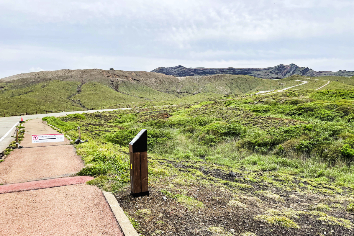 The mark of the place to turn is like this.The introduction of the route is also written.
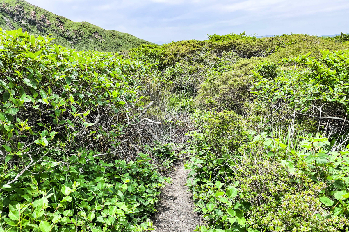
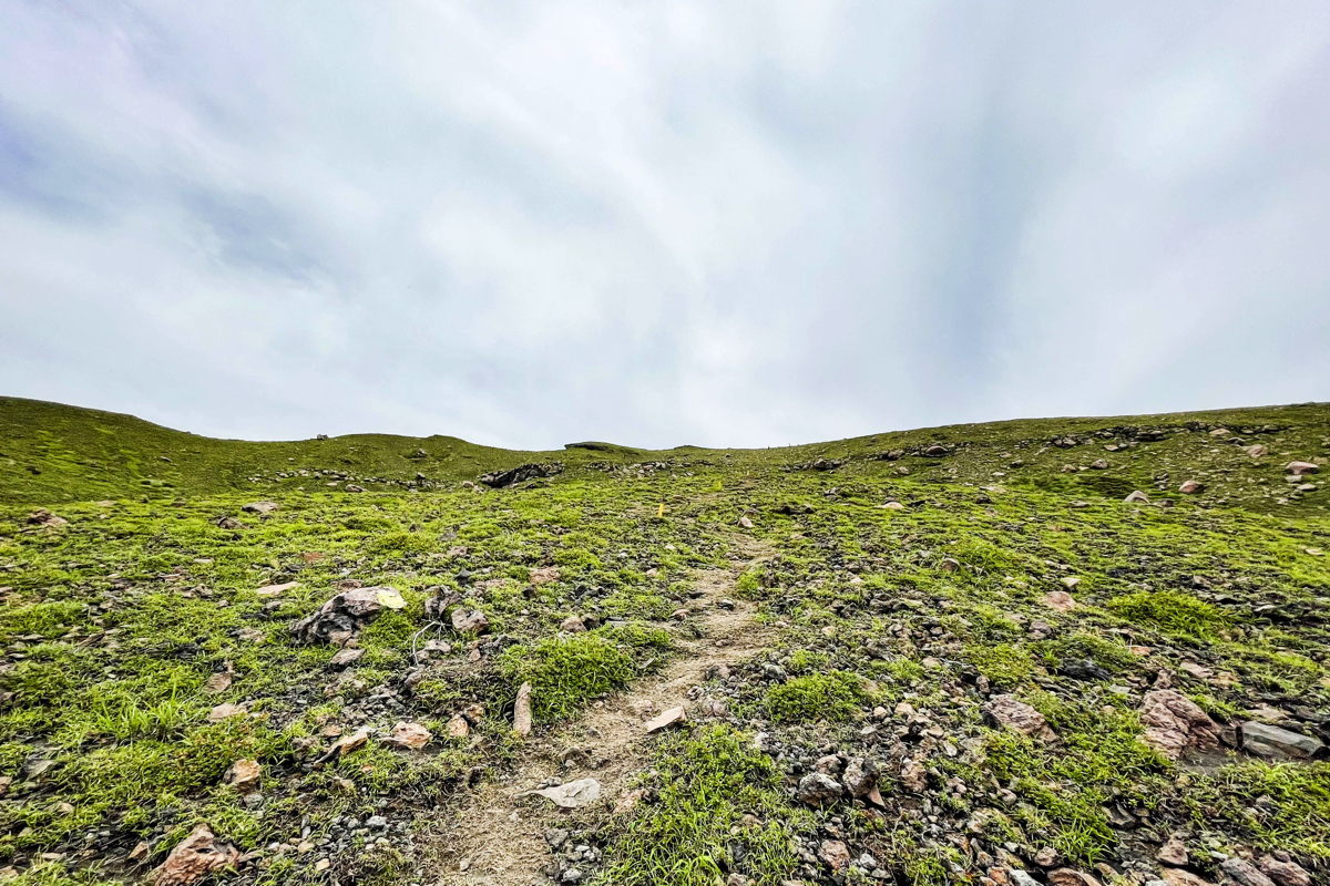
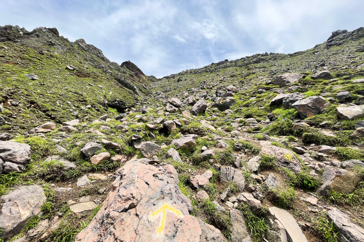
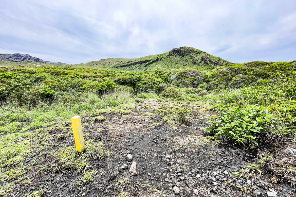 There is no road, but the route has yellow stakes and landmarks.There are many landmarks until you reach the summit of Mt. Nakadake, so you won't get lost.
 Although it is large enough for one person to pass through, it is not particularly difficult to walk, so you can easily proceed.
 Isn't that a little narrow?There are occasions when I think that, but since it is a straight road, I will proceed without worrying about it.
 Since it was recently maintained, the guide signs are perfect.It is also mentally helpful to know how many meters are left.
 It's been about 10 minutes since I started walking, and it's like this.The mood of adventure will be exciting.
 It looks like this when you climb a little.There is a fence, so do not go over the fence.
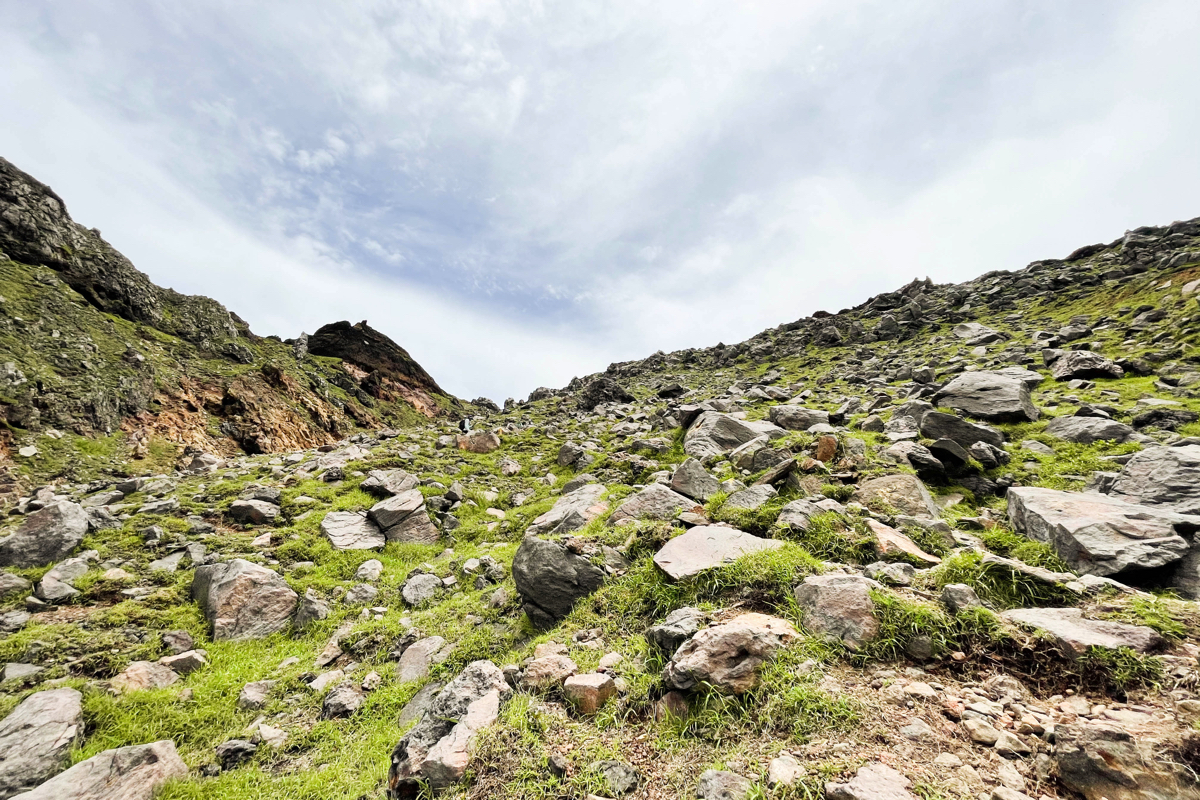
 It will be a little steep climb from the point where the fence is cut off, but it is still gentle.
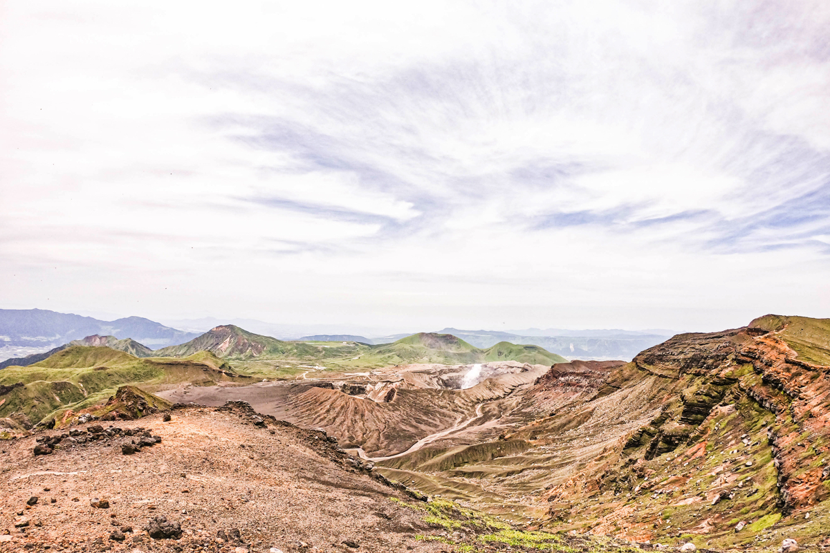
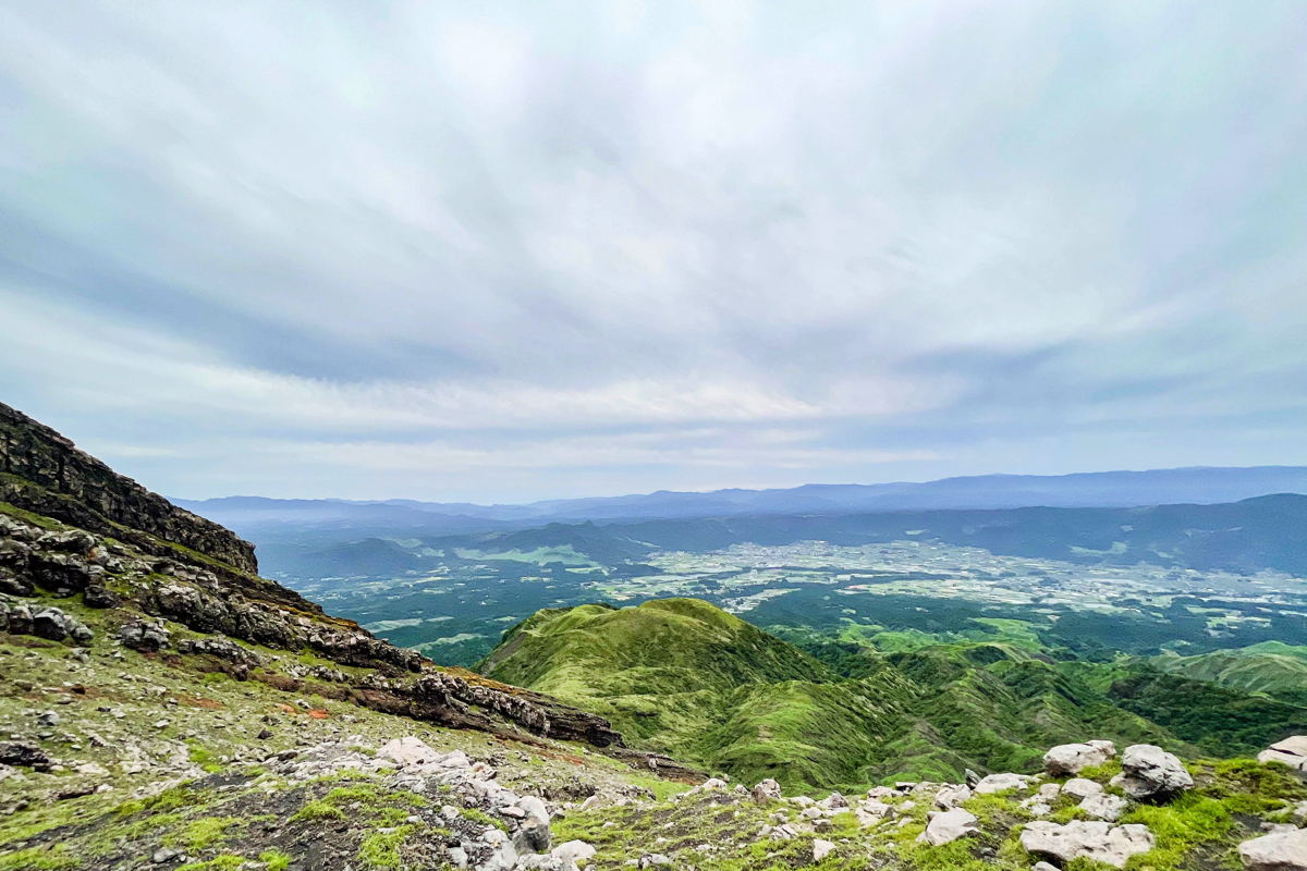
 About 30 minutes after you start climbing, you can see this view when you look down.It's hard to understand, but you can see a little smoke from Nakadake No. XNUMX crater on the far right.
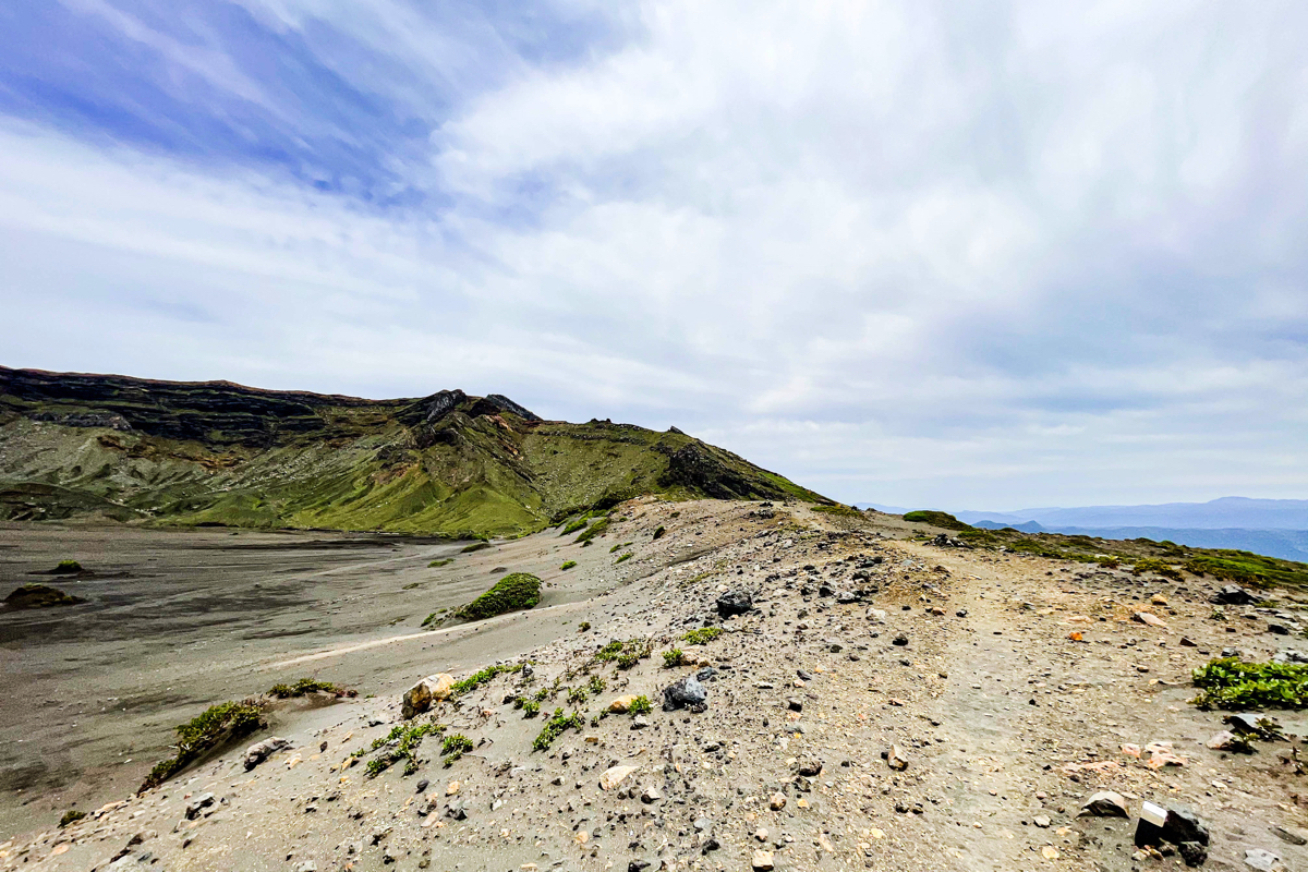
 If you go a little further, you can overlook Sunasenri!Oh!It will be.
 Continue along the ridge a little.
 I will go down to Sunasenri.When I climb, I think I'm lucky to go down, but since I'm coming back on the same route, this climb that appears on the way back was a little difficult.
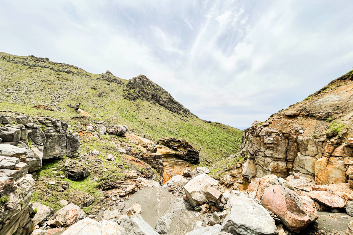
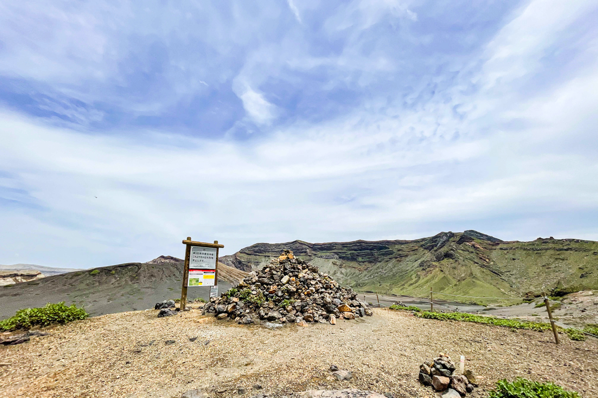 Sunasenri.A lot of stones are piled up.If you go to the left, you can go to a place like Sunasenri's promenade, but you can not enter when the eruption alert level is 2 or higher.This time, turn right here and aim for the summit while making a detour.
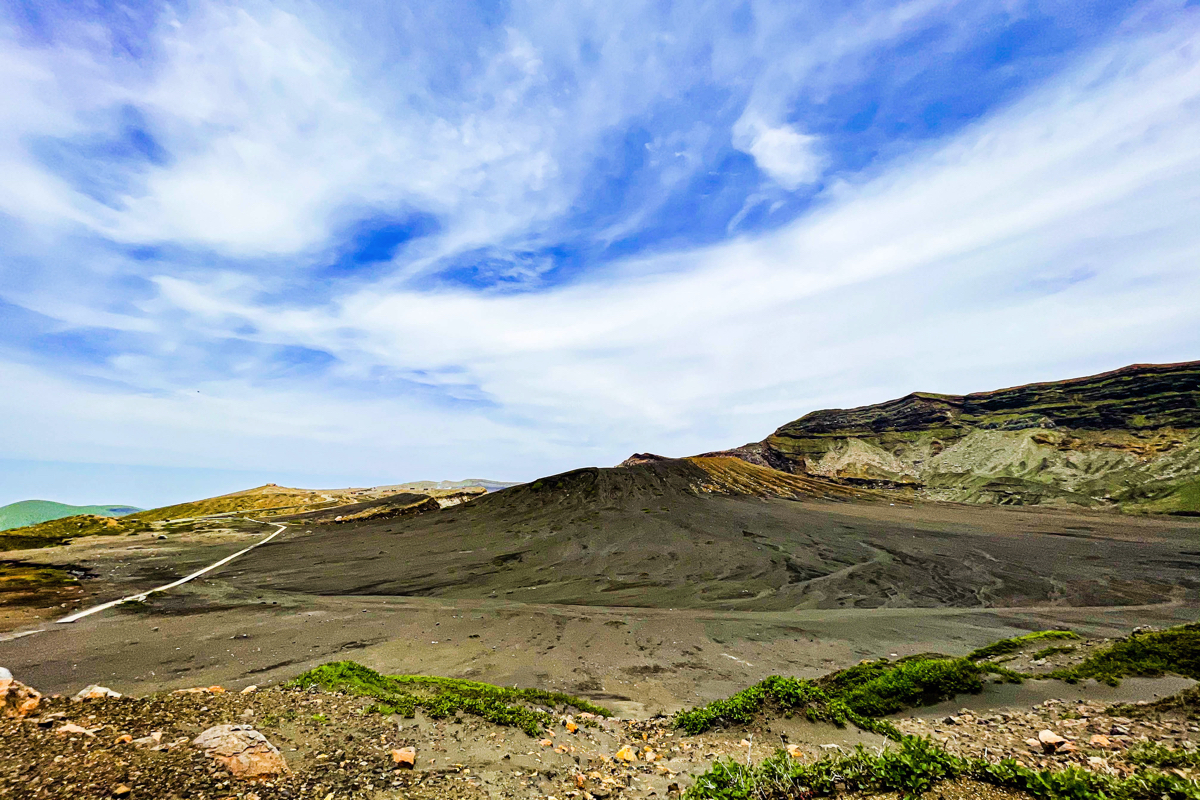 Scenery when crossing Sunasenri.Desert.Exoticism.
 Although there are rugged stones and stones at your feet, there is not much problem with mountain climbing shoes.
 So, I will climb.
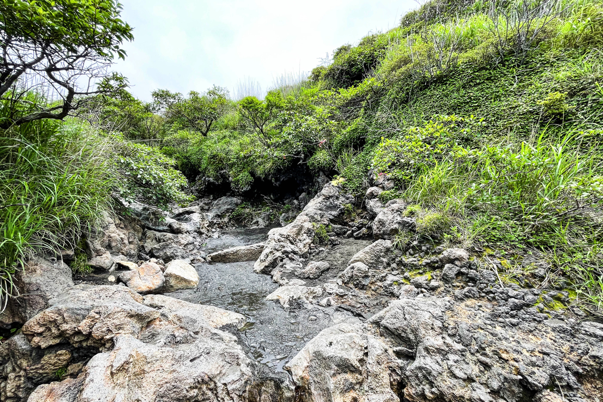
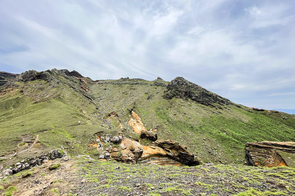
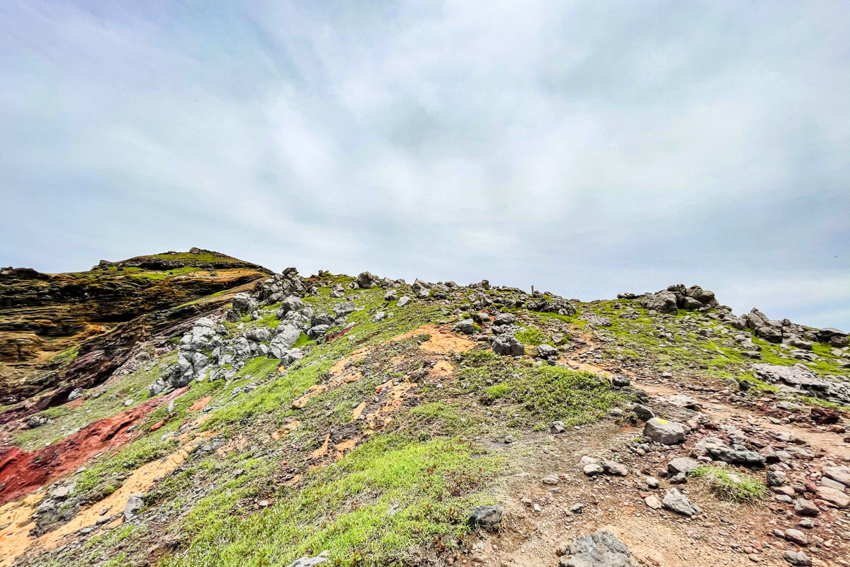
 Since it's an iPhone, it's hard to convey in the photos, but there are places where you can feel the awesomeness of volcanic activity on the way.
 And a steep climb.
 I climb while thinking that the slope is quite good, I don't want to go down this road.
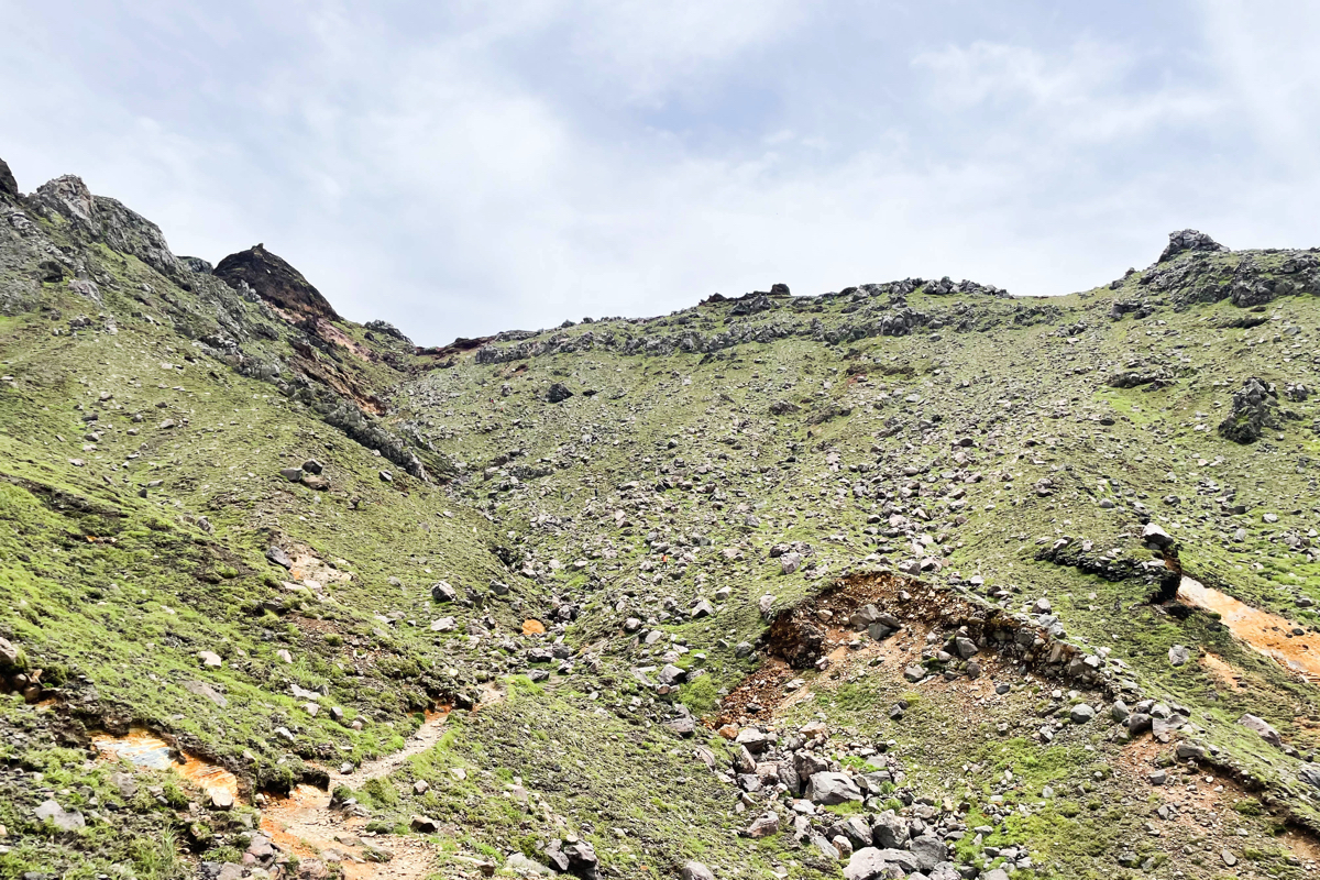
 Climb.It's pretty tough, but there are big stones here and there, so if you get tired, you should take a break.
 Looking back, it looks like this.It's a moment when I feel like I've climbed quite a bit.
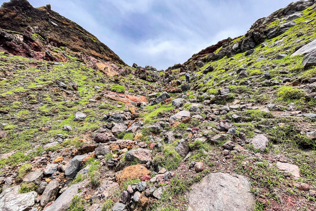 And another steep climb.After climbing this, the rest is a modest climb.
 Looking back, it looks like this.
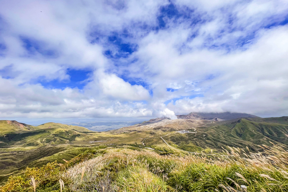
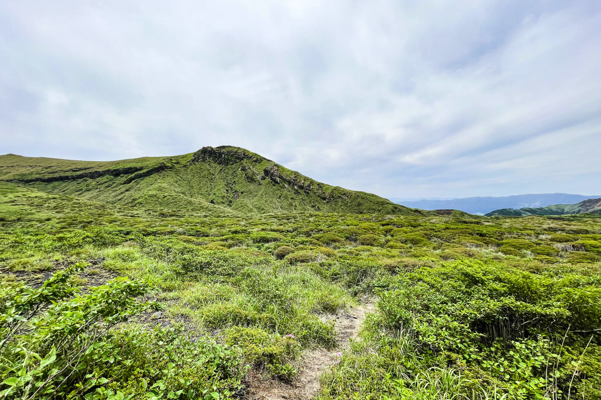
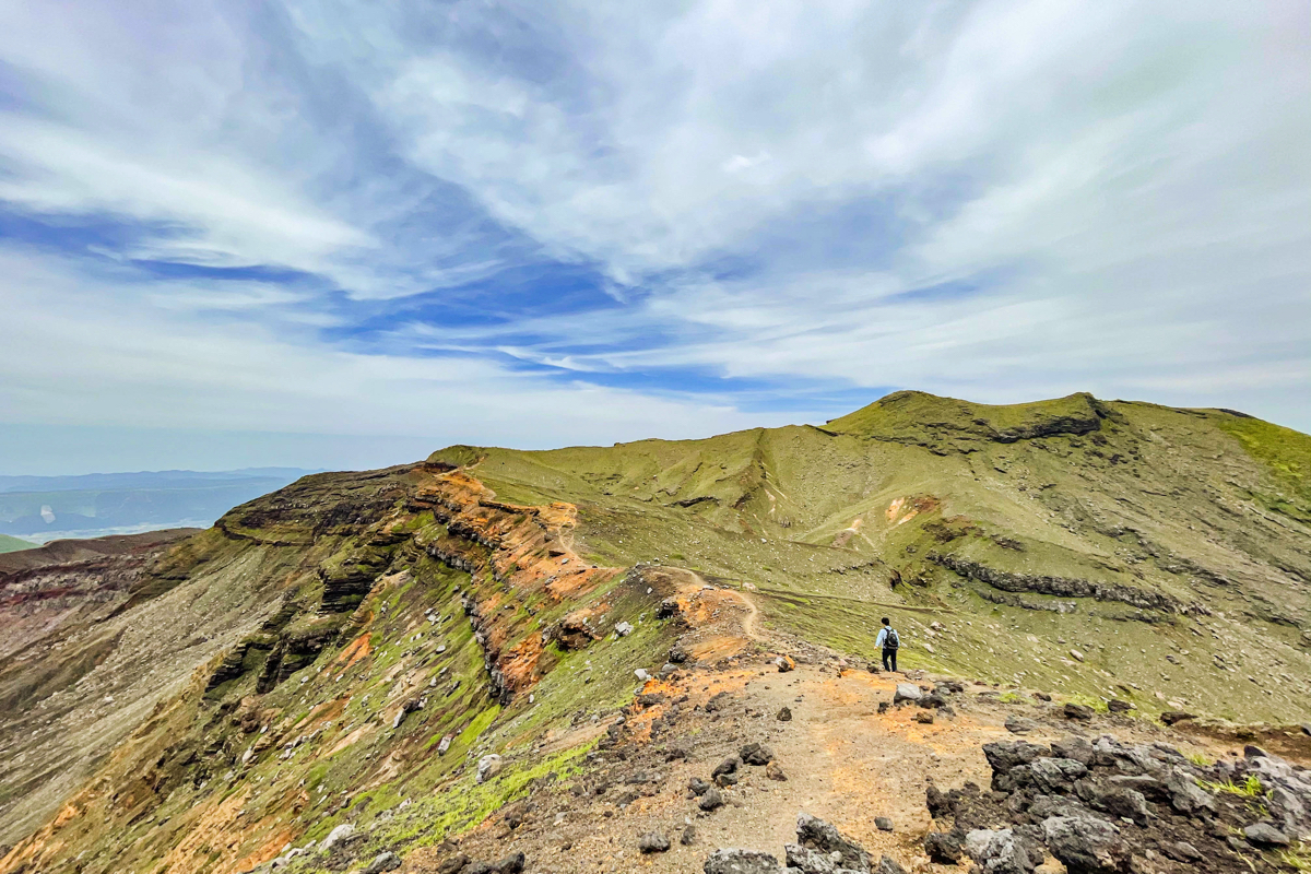
 Mt. Aso has almost no trees, so you can enjoy a superb view all the time.
 After climbing the steep climb, the rest is gentle.
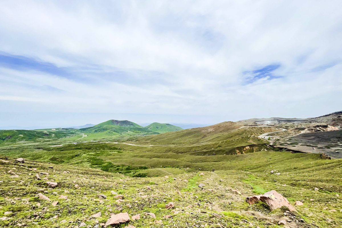
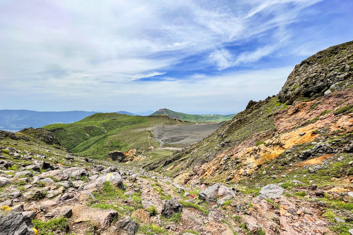
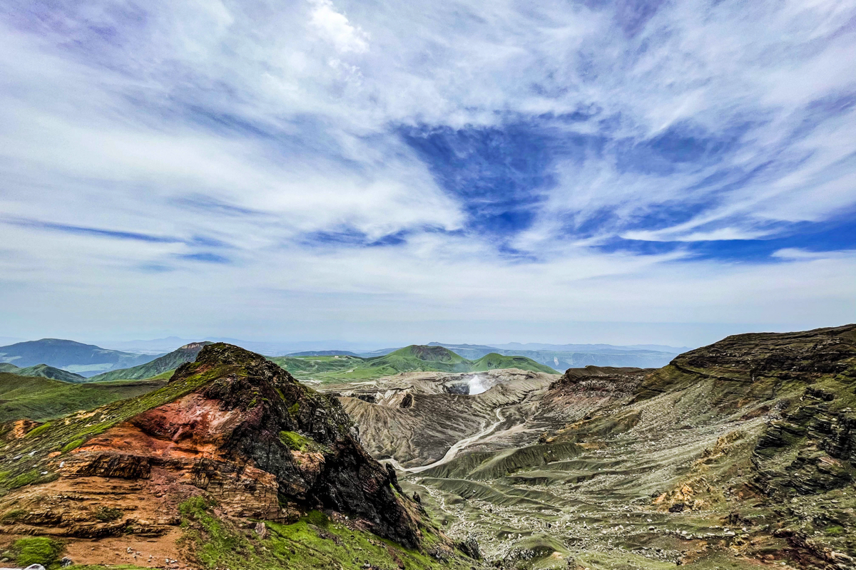 You can see the 4st and 90th craters here and there.It takes about XNUMX minutes to get here.
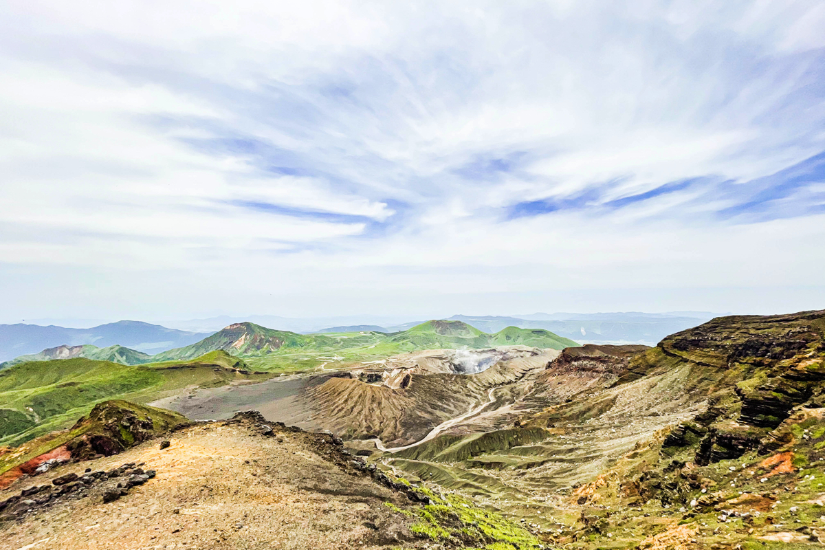
 Every time I climb a little, the scenery changes and it's quite fun.
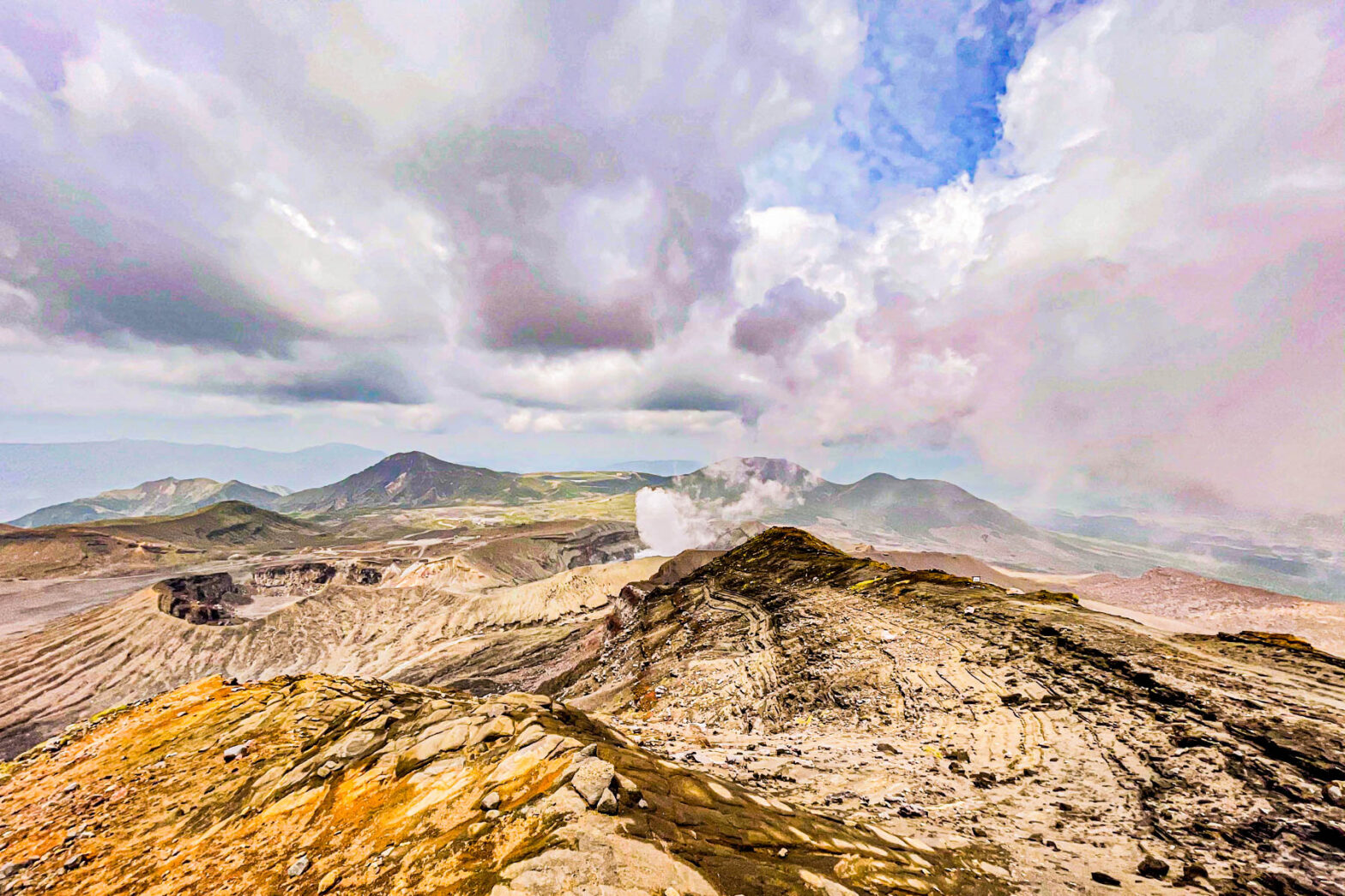
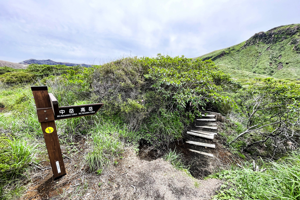
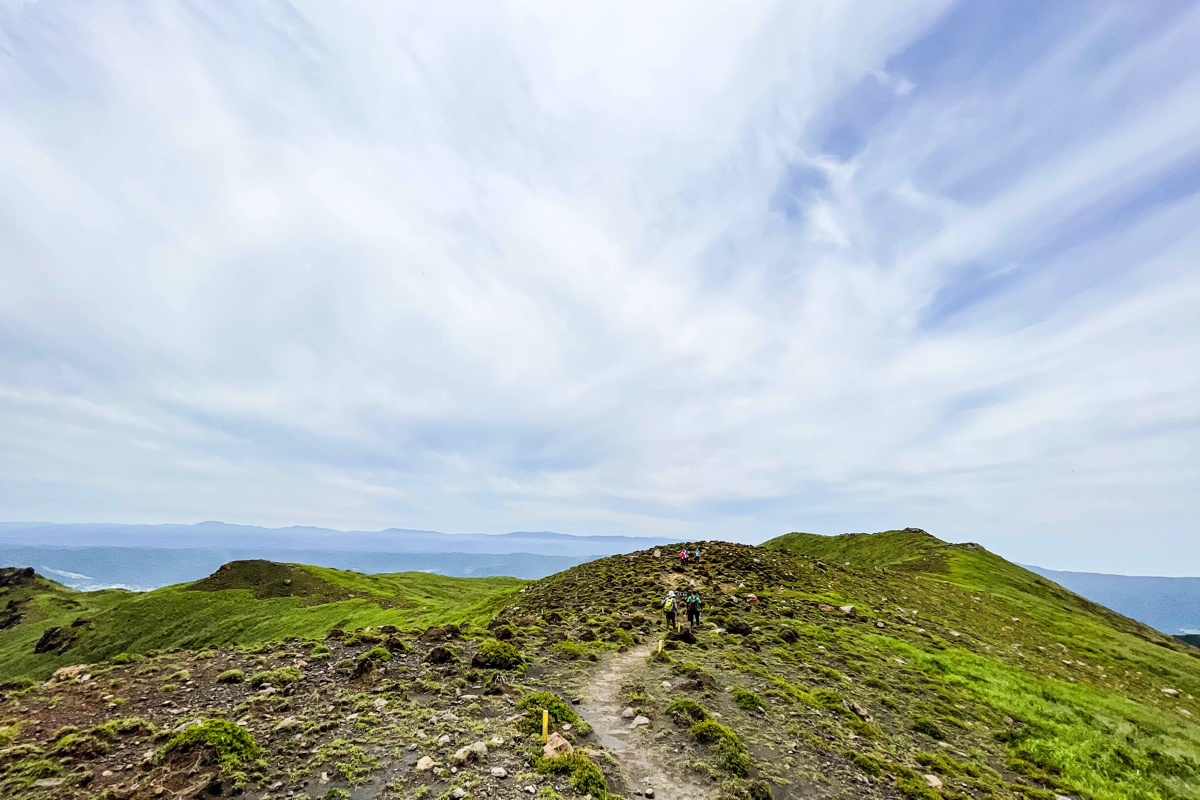
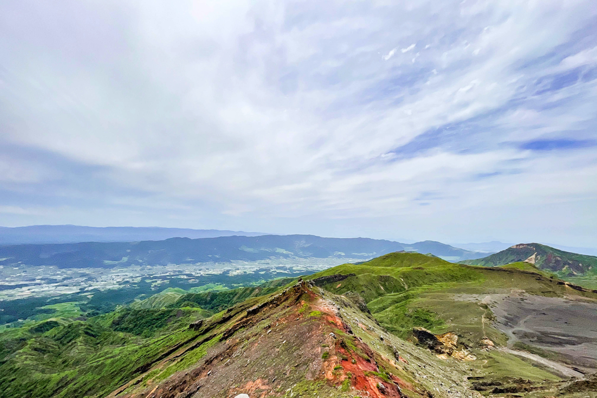
 Then, through this ridge, to Mt. Nakadake.
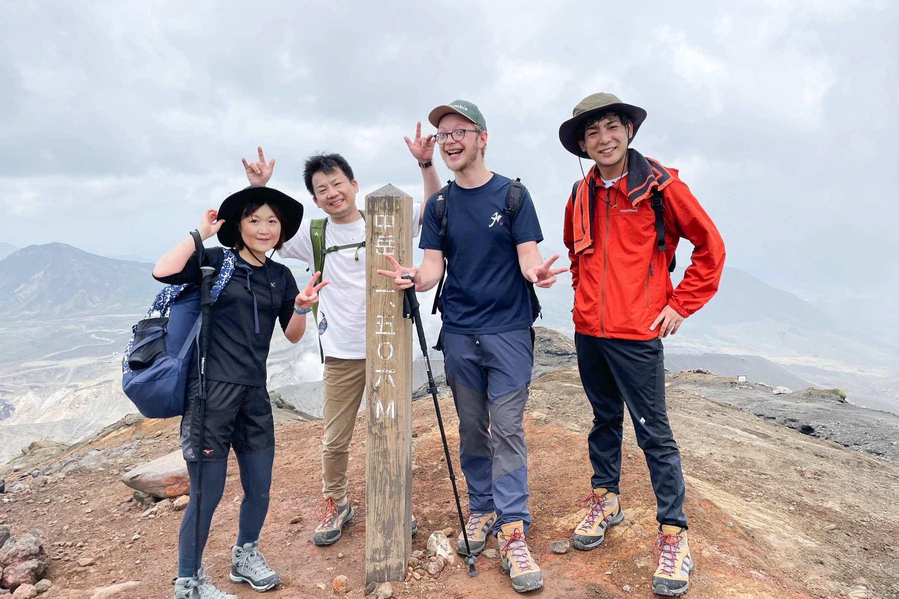
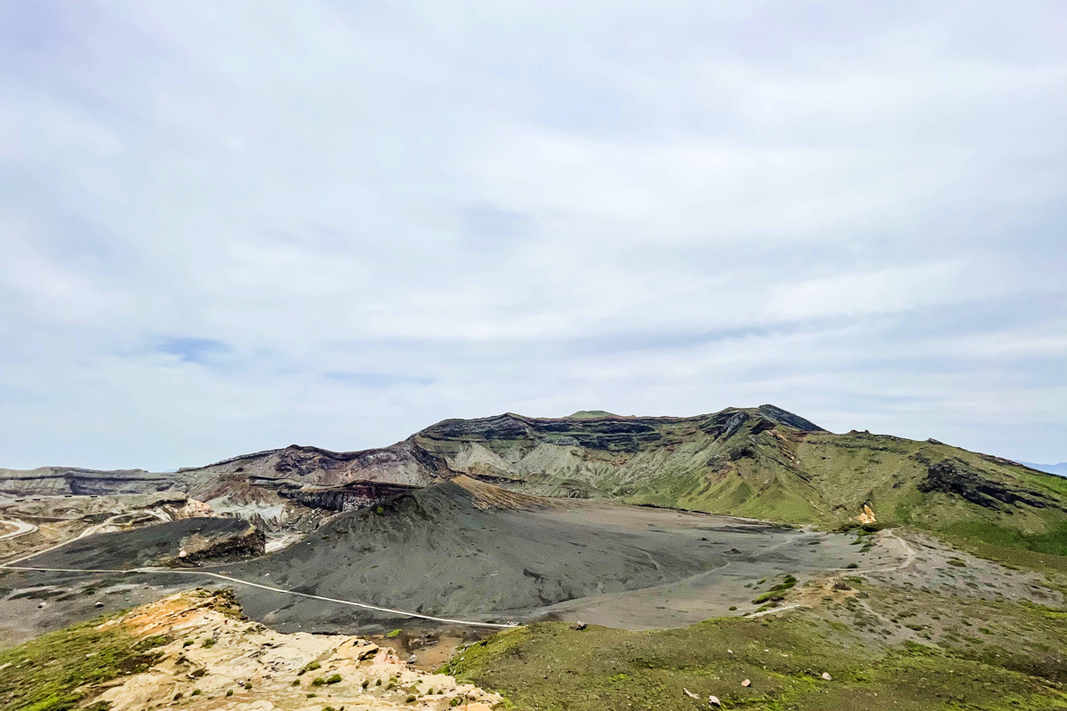
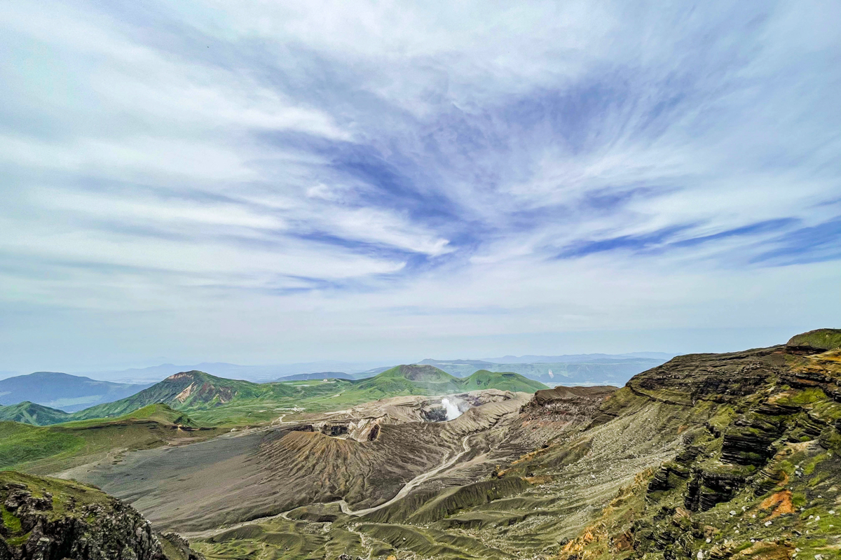
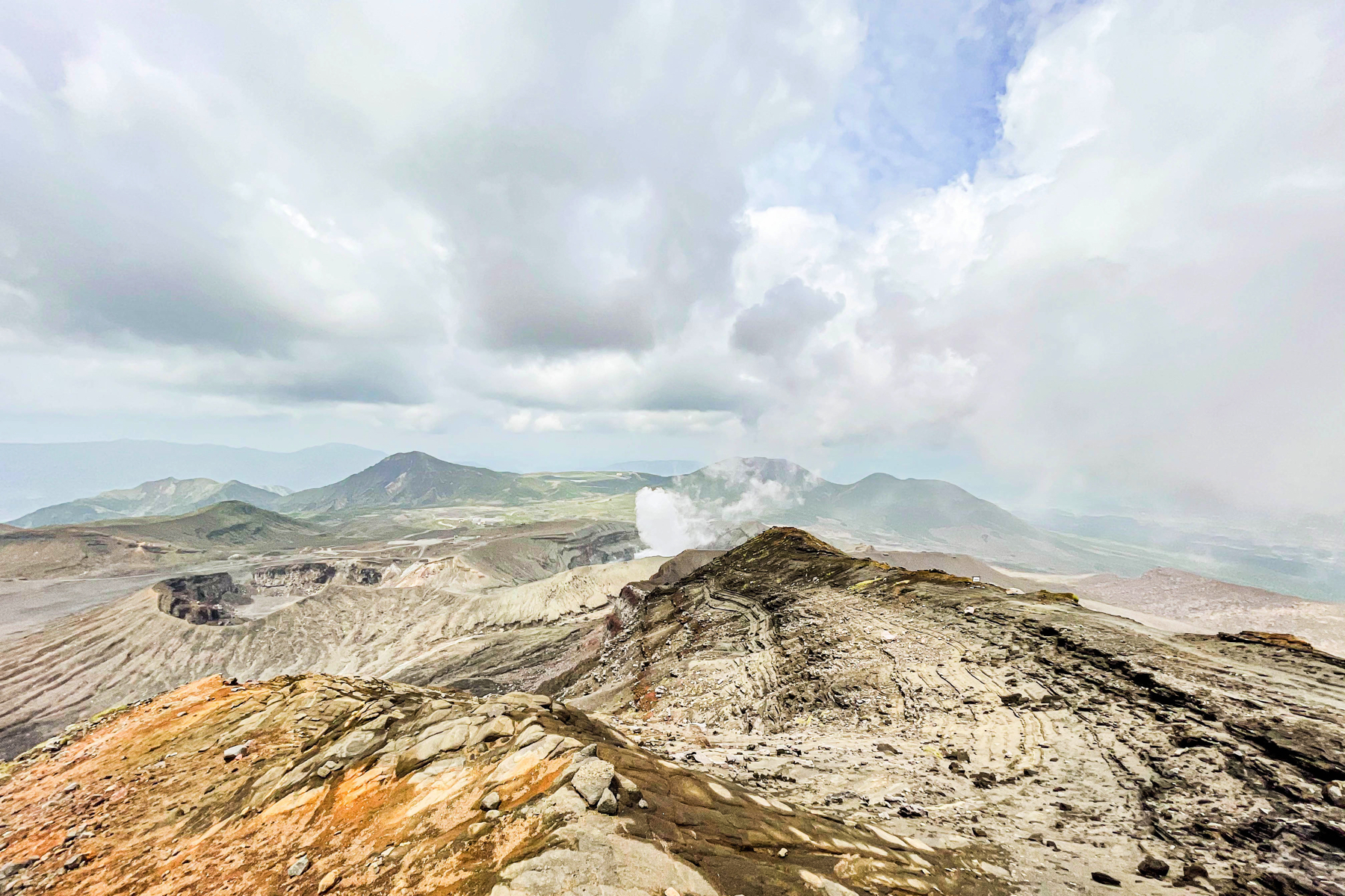 The photo was taken when I climbed last time because my cell phone was out of charge before I reached the top of the mountain, but it is a view from Nakadake.The Nakadake No. XNUMX crater is raising the eruption in the foreground, and the Nakadake No. XNUMX crater is on the left.From the left, the mountains in the back are Mt. Mikamon, Mt. Karasuhata, Mt. Kusasenrigahama, and Mt. Kishima.
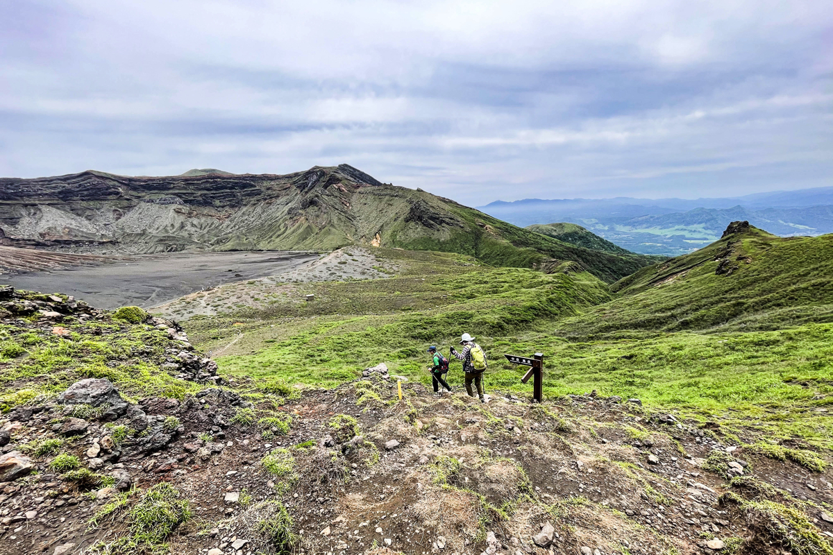
This time, I had parked my car at Yamagami Square, so I gave up going to Takaoka (the cell phone was out of charge ...) and went down the mountain from the top of Mt. Nakadake via the same road.It takes about 3 hours for a round trip.The amount of water I drank was about 750 ml.Although it is more difficult than Mt. Kishima, I felt that it is easier for beginners to climb than the Suzumeiwa detour route.
Aso can be enjoyed by beginners to advanced climbers.
We hope that you will come to Aso as many times as you like.