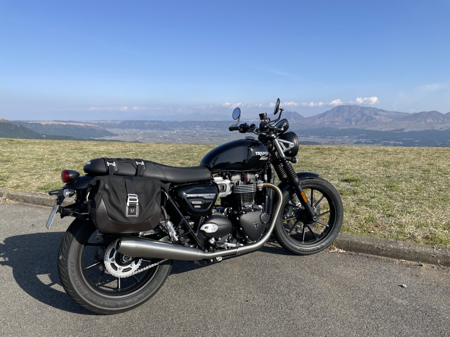
nice to meet you.Aso has many fun roads for car and motorcycle enthusiasts.And the scenery of the road is majestic and in a great location.I am returning as a biker, and I am planning to send out information on the theme of "road" from the Minamioguni Town Tourism Association.
This time, we will introduce National Route 212 from Aso City to Minamioguni as the first installment.This is another fun road for drivers and riders who love curves.In fact, it may be my commute.I would appreciate it if you could refer to it for driving and touring.Of course, please drive safely first.
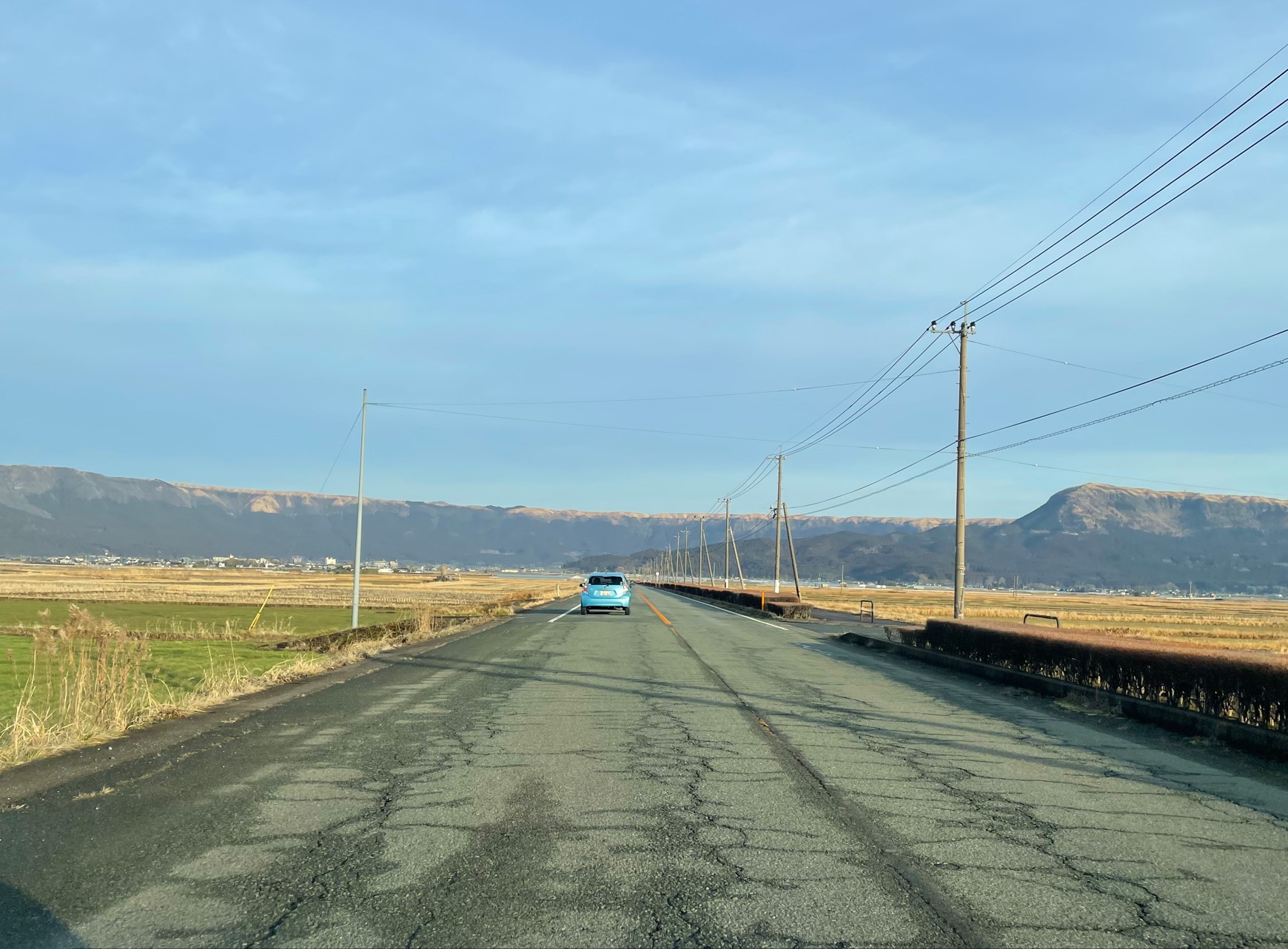 First, let's take a look at the route from south to north.Departure from "Road Station Aso" next to Aso Station.If you go out onto National Route 57 and run towards Oita, you will soon come to the intersection of National Route 212.Turn left and start Route 212 from here.Head to Uchimaki while looking at the northern outer rim in front of you.
Turn right at the Uchinomaki intersection of "Family Mart", "Hotel Kakuman" and "Drugstore, Cosmos".
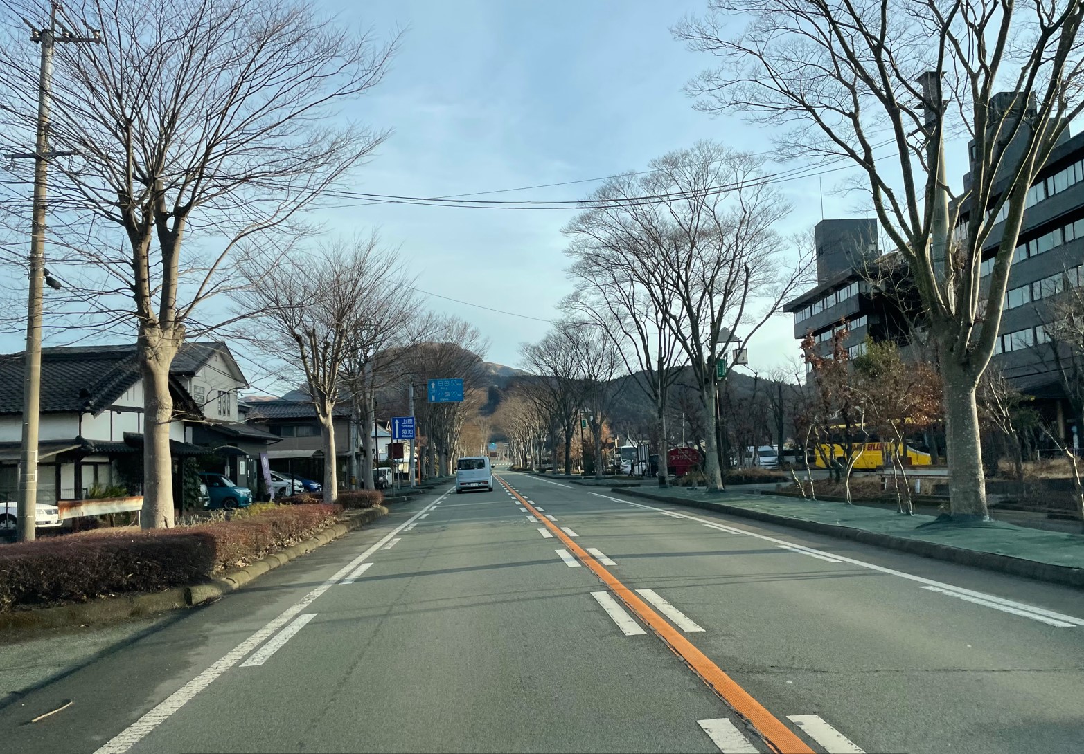 Go straight while seeing "Aso Plaza Hotel" on the right.
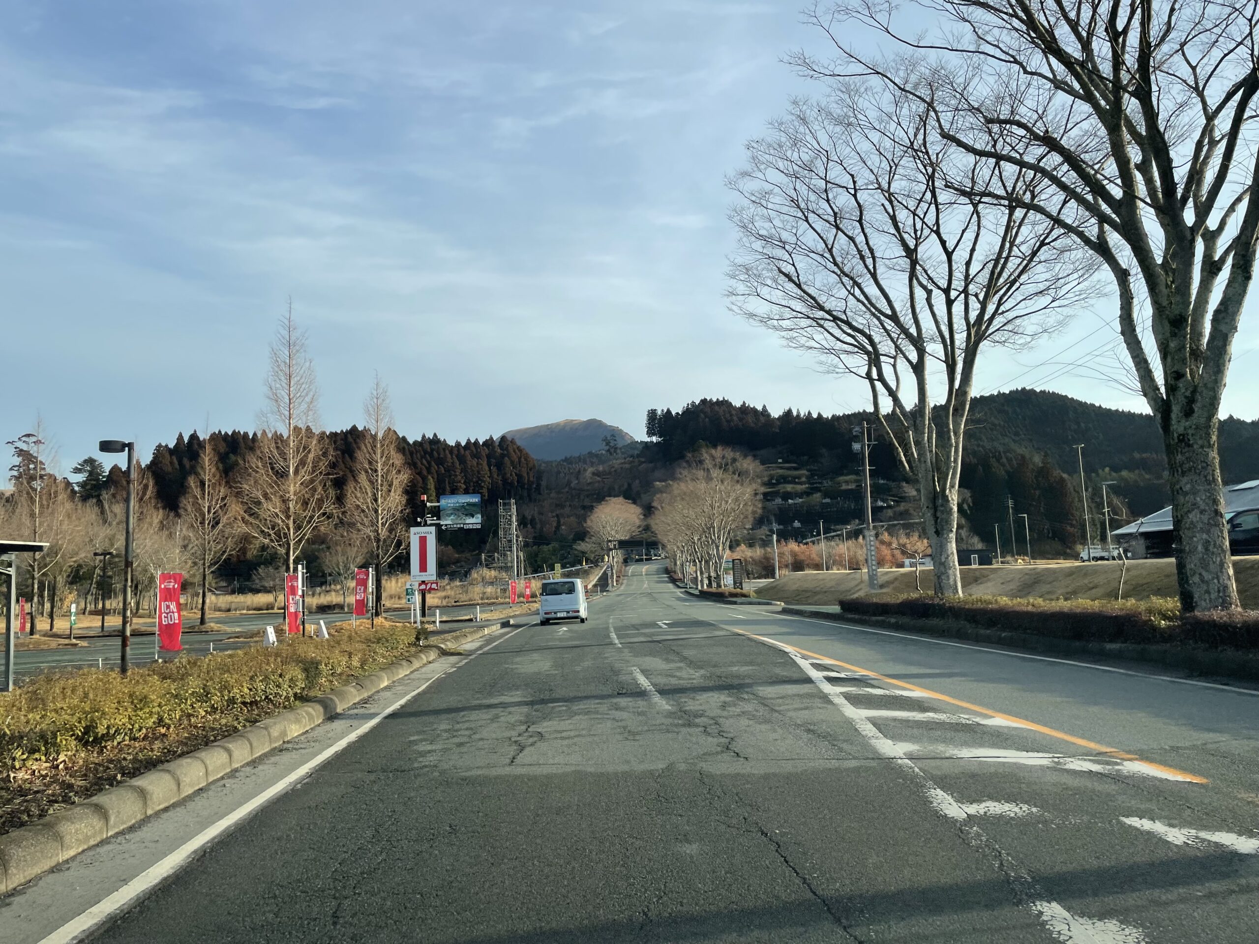 After crossing the Uchimaki Bridge and going straight through the intersection, you will find Asomilk Factory on your left.
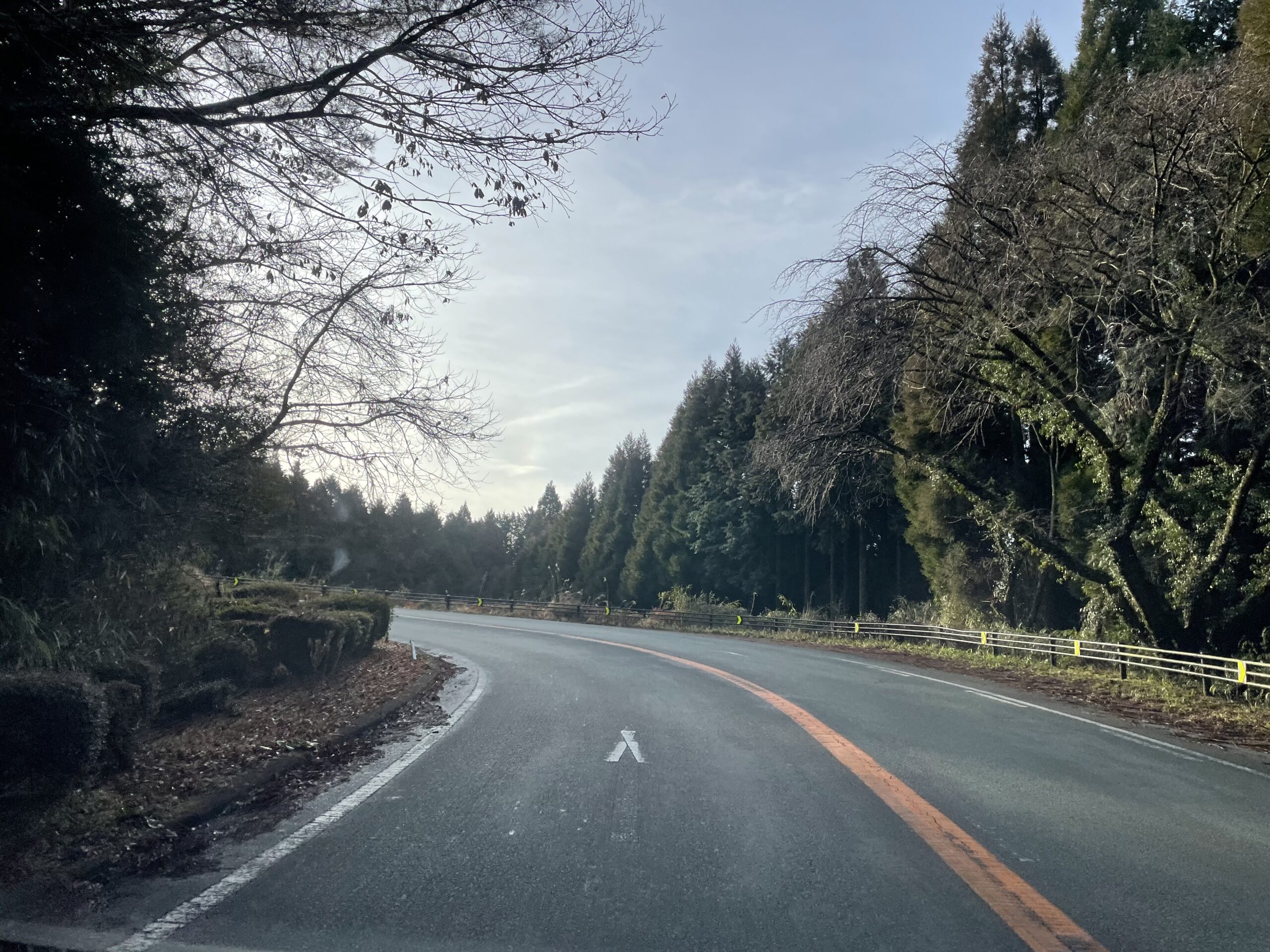 Well, from there is the start of the winding road.The road up to the grade crossing with Milk Road on the outer rim of the summit is a pass road.It's a winding road that goes up and down, but for some reason it doesn't have a name like "Nani-Nani-toge".So, let's call this a pass road going up to Daikanbo.I don't think I can come up with a clear name.
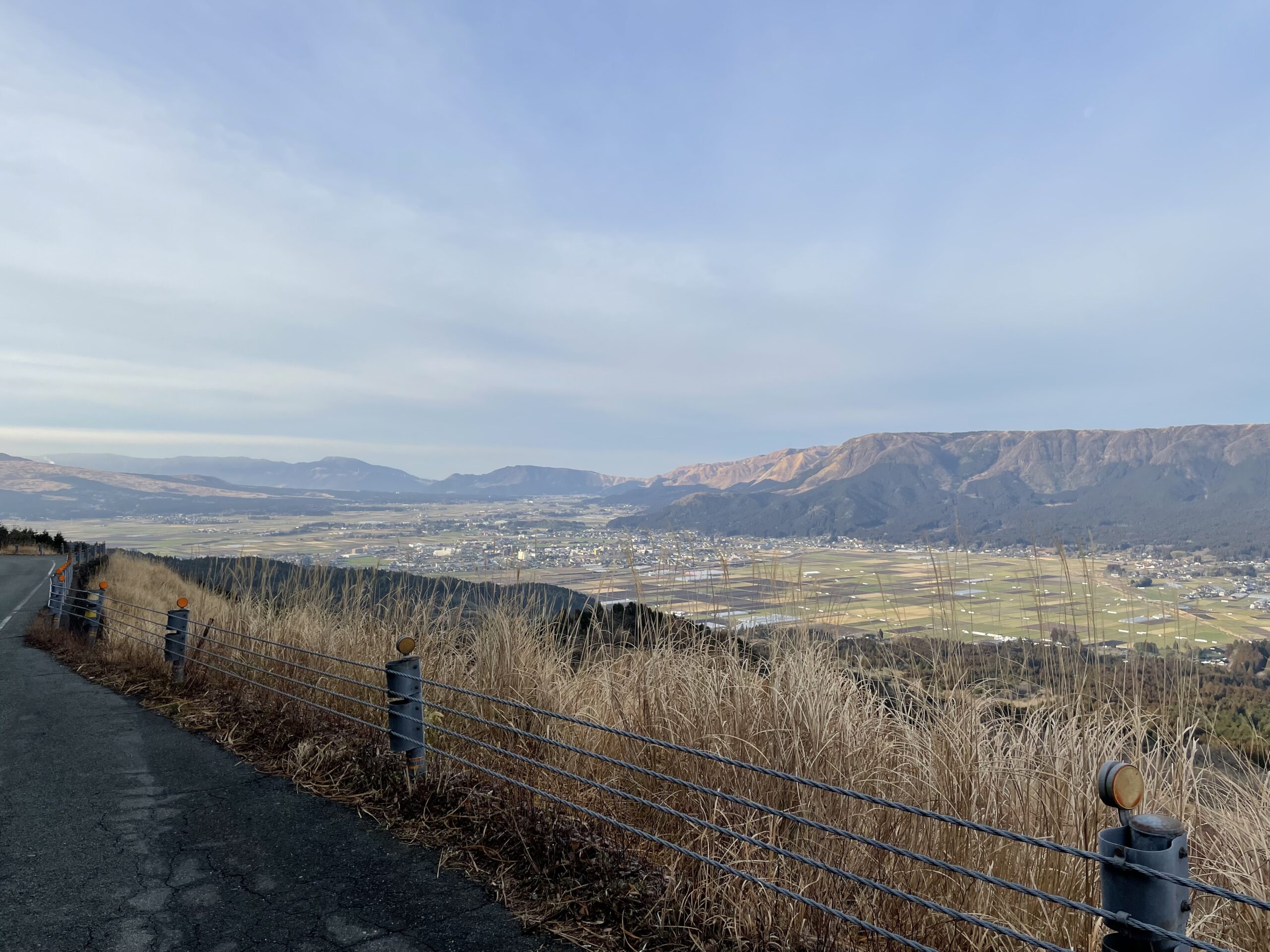
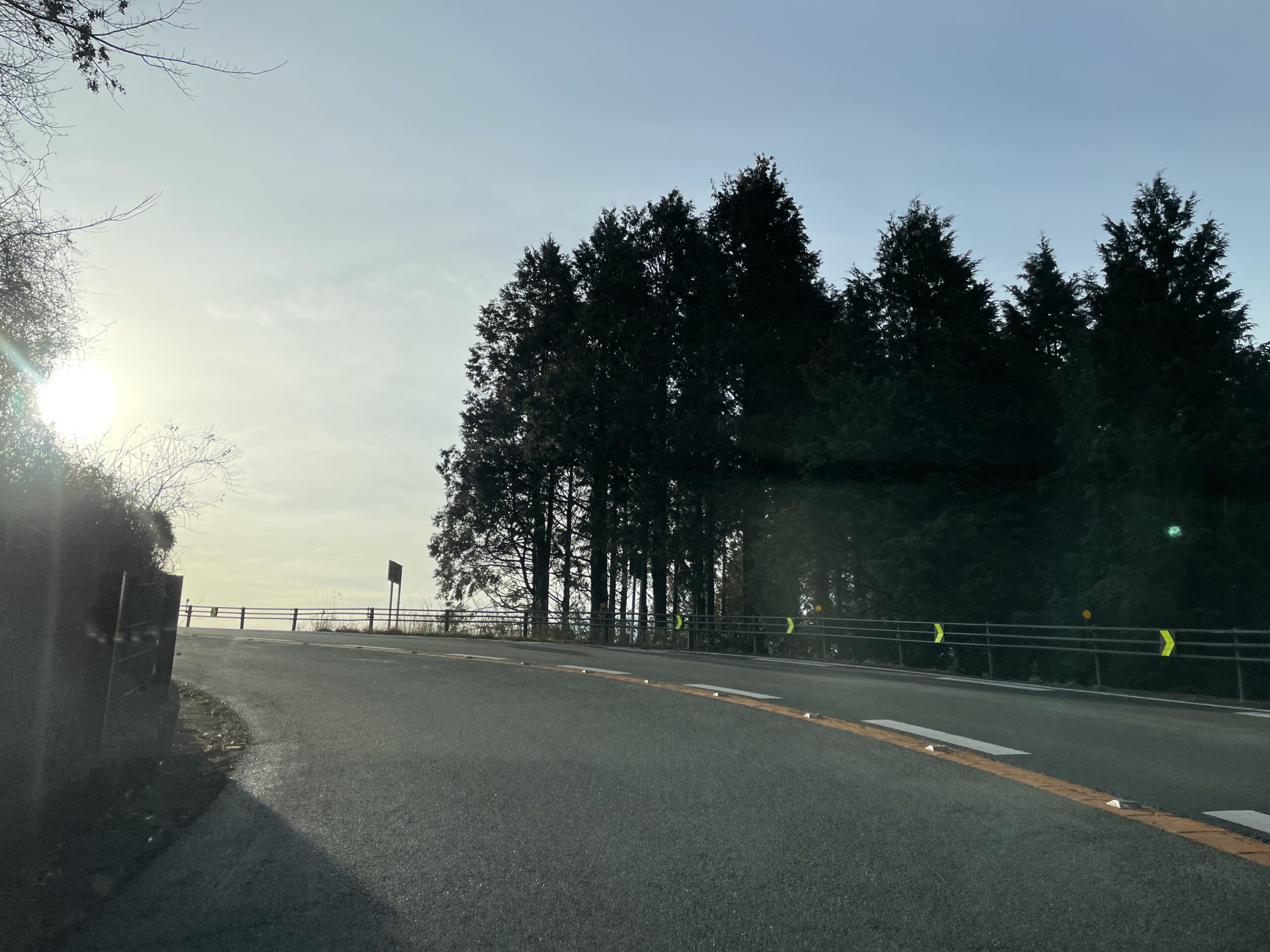 While clearing the curve to the right and left in the forest, gradually go up.Just when I was wondering how many corners I had run through, I came to a wide open area to the east.The morning sun is shining in the photo.If you go straight as it is, it feels like you're about to jump into the sky. (I don't fly, but...)
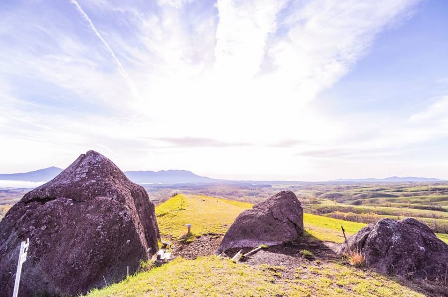
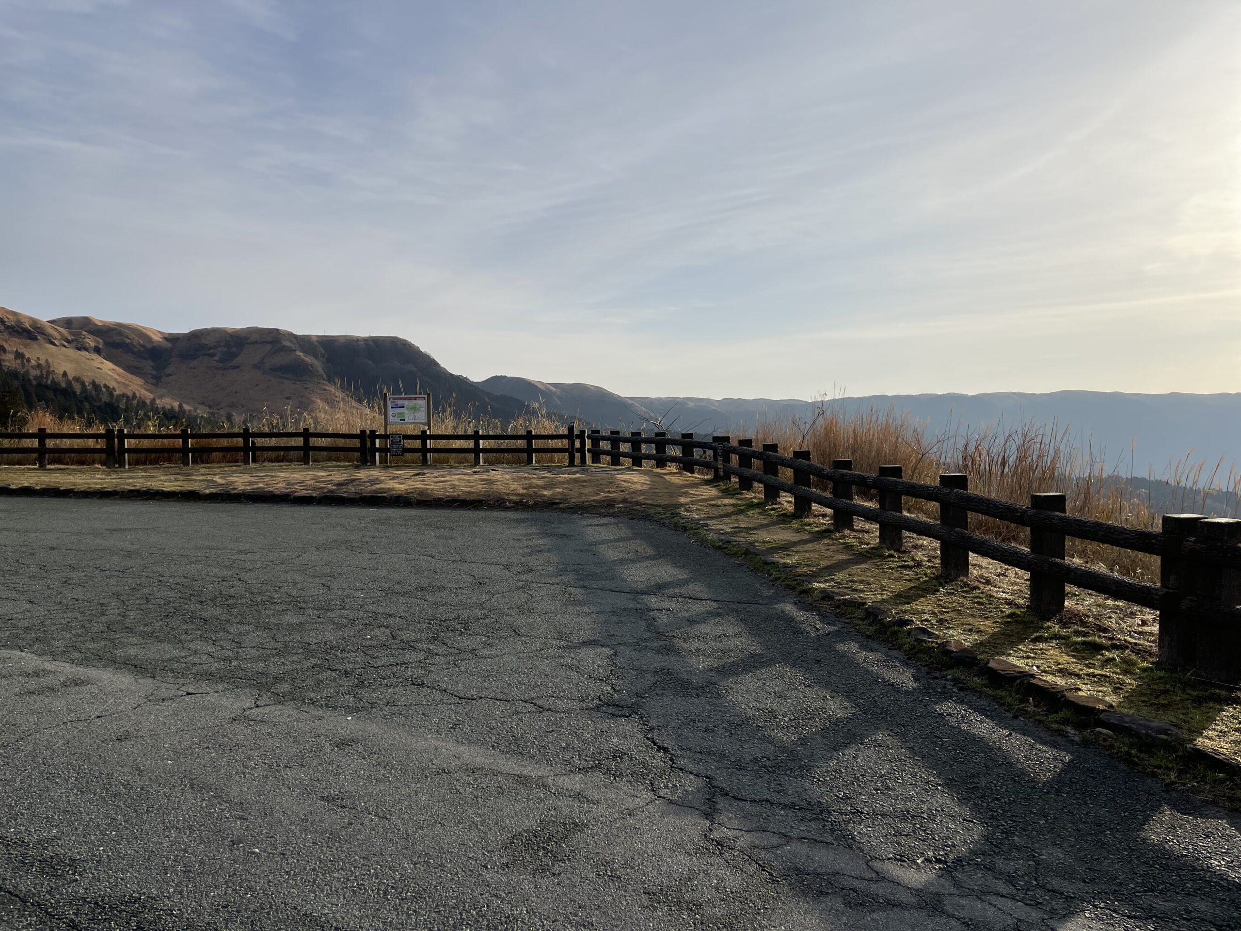 It is a photo spot "Torupa Yamada Parking".Observation deck.
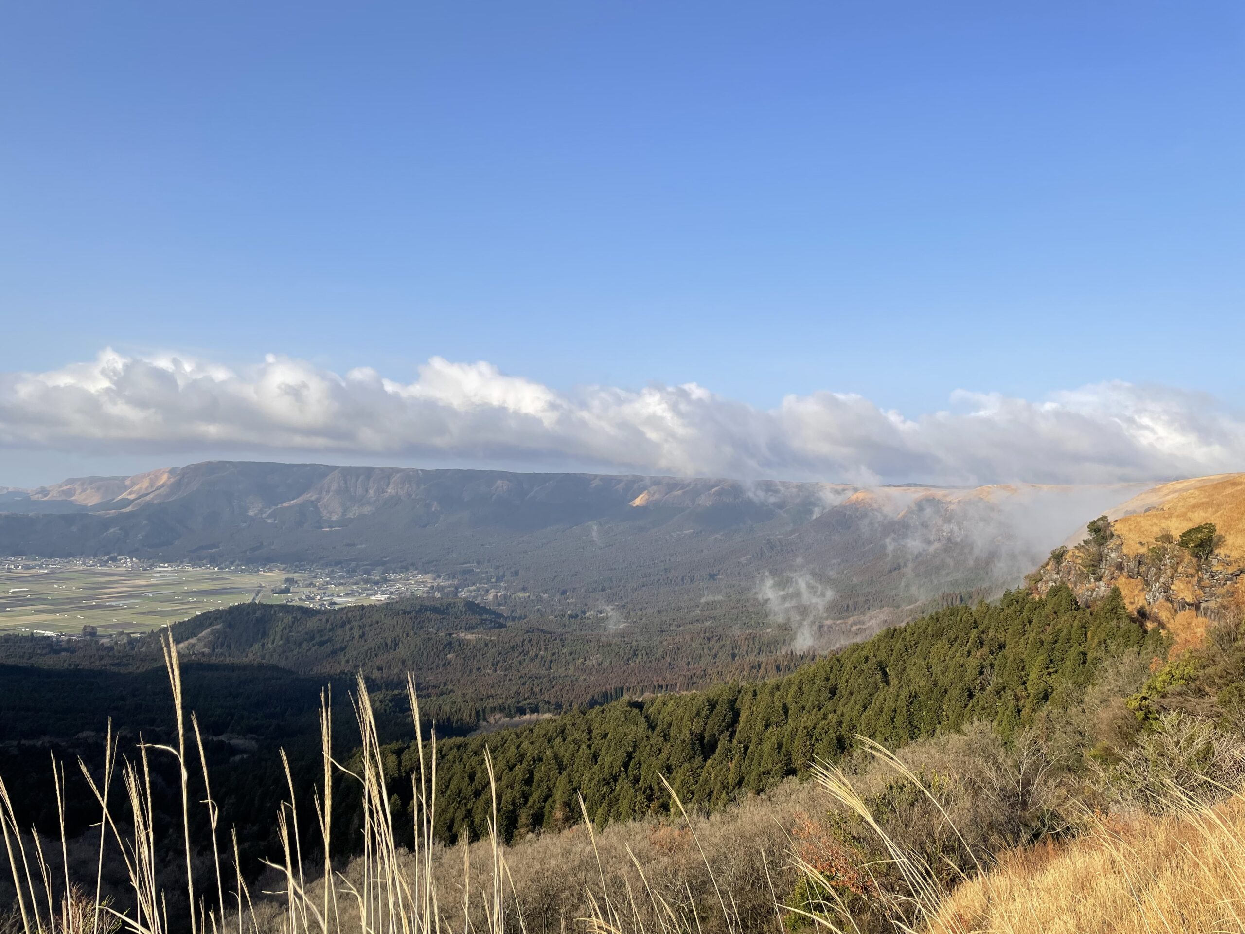
 You can see this view on your right as you drive.But please don't let your guard down while running.This is a hairpin curve that turns sharply to the left.It's dangerous if you don't put your heart into it and concentrate on driving.Parking where you can see the sea of clouds depending on the season.If you stop, you need to pay close attention to following cars and oncoming cars.
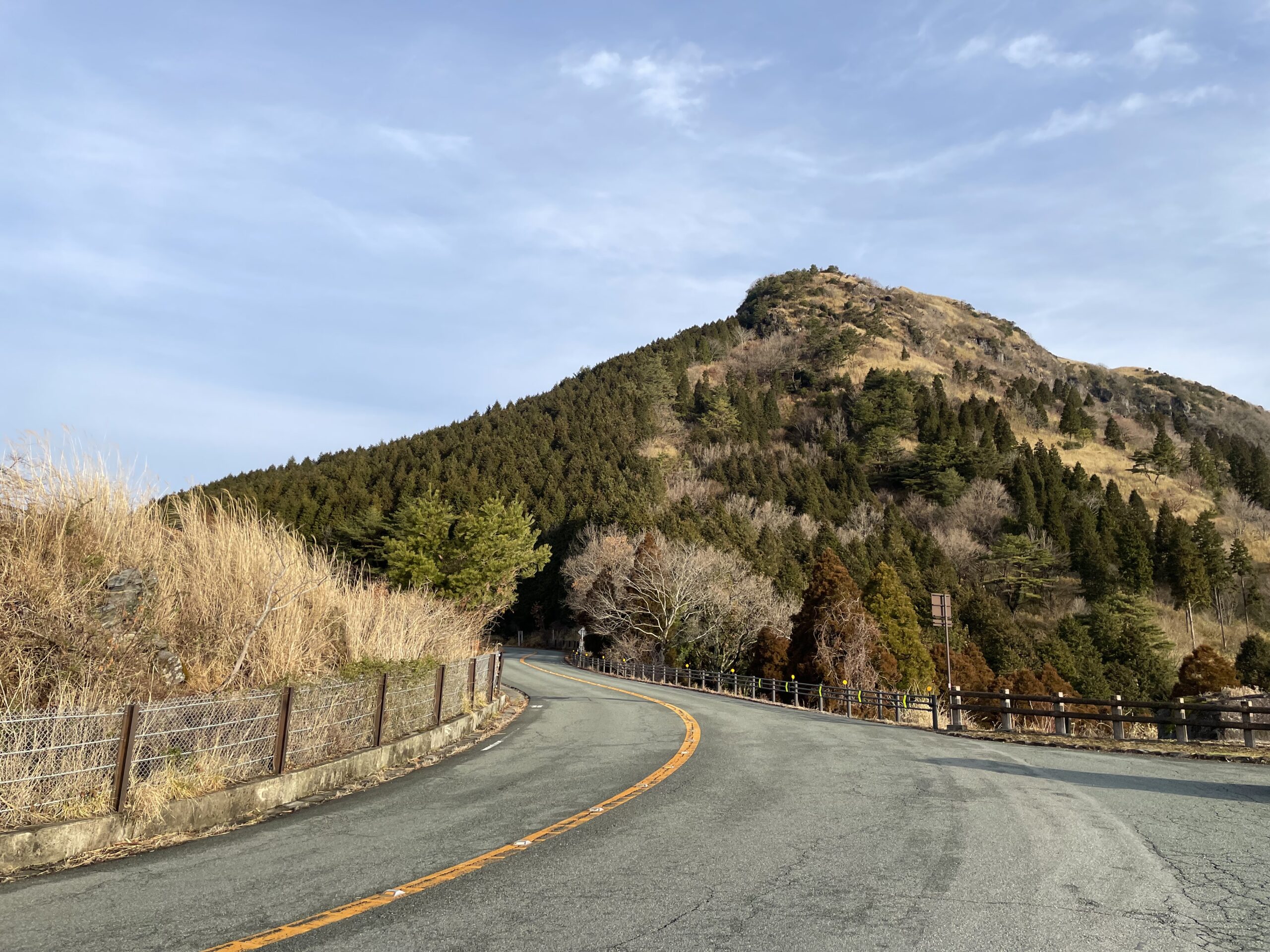 Daikanbo is in front of you when you turn XNUMX degrees on the hairpin curve.
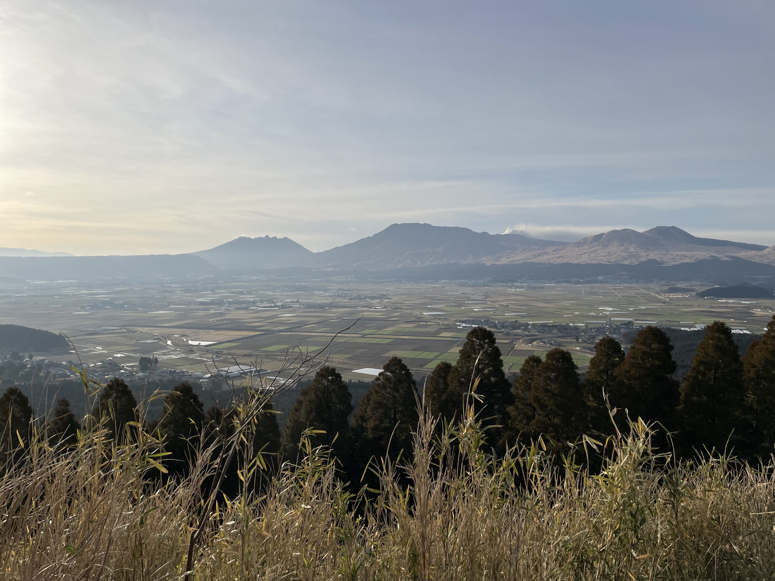
 From here onwards, go up while looking at the lower northern caldera town and the rising somma on your right.
 It is a majestic and rare sight.
 And the second photo spot "Torupa Yuura Parking".You can see the caldera scenery on the west side.
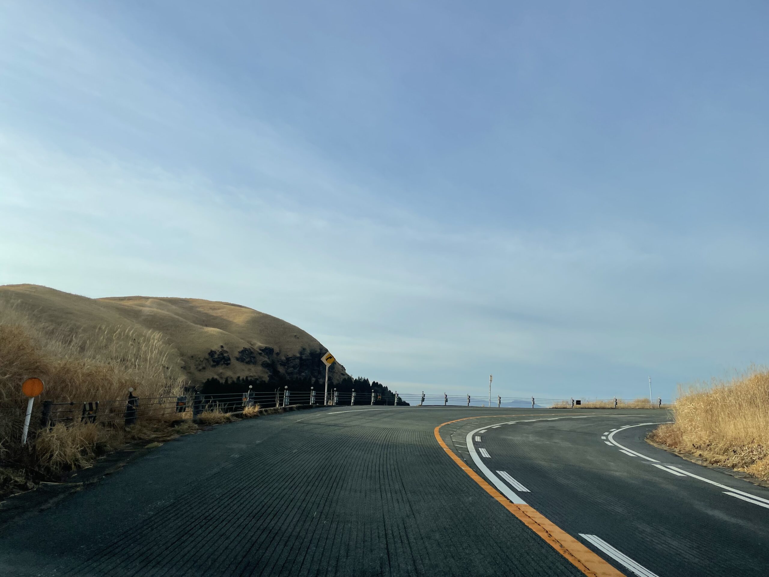
 After passing Yunoura Parking, you will come to a second hairpin curve with a difference in elevation.From here, turn right and take a sharp left to follow the road on top of the concrete wall seen in front of the photo.From here onwards, there is a rain groove on the road, and you need to be especially careful when riding a motorcycle.
 After going up the hairpin curve.I'm going into the right curve, but here is also a situation as if it were going to fly towards the sky.There is a bus stop "Daikanbo Iriguchi" in the place where I went a little further.There are only a few bottles per day.
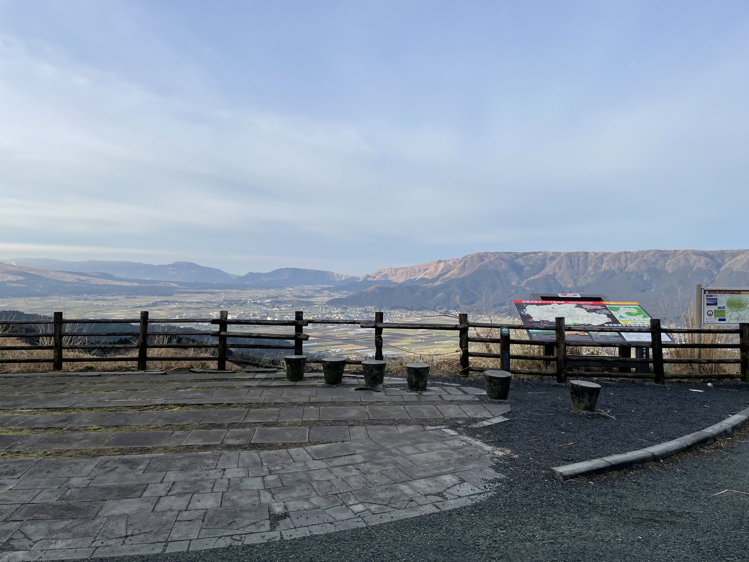
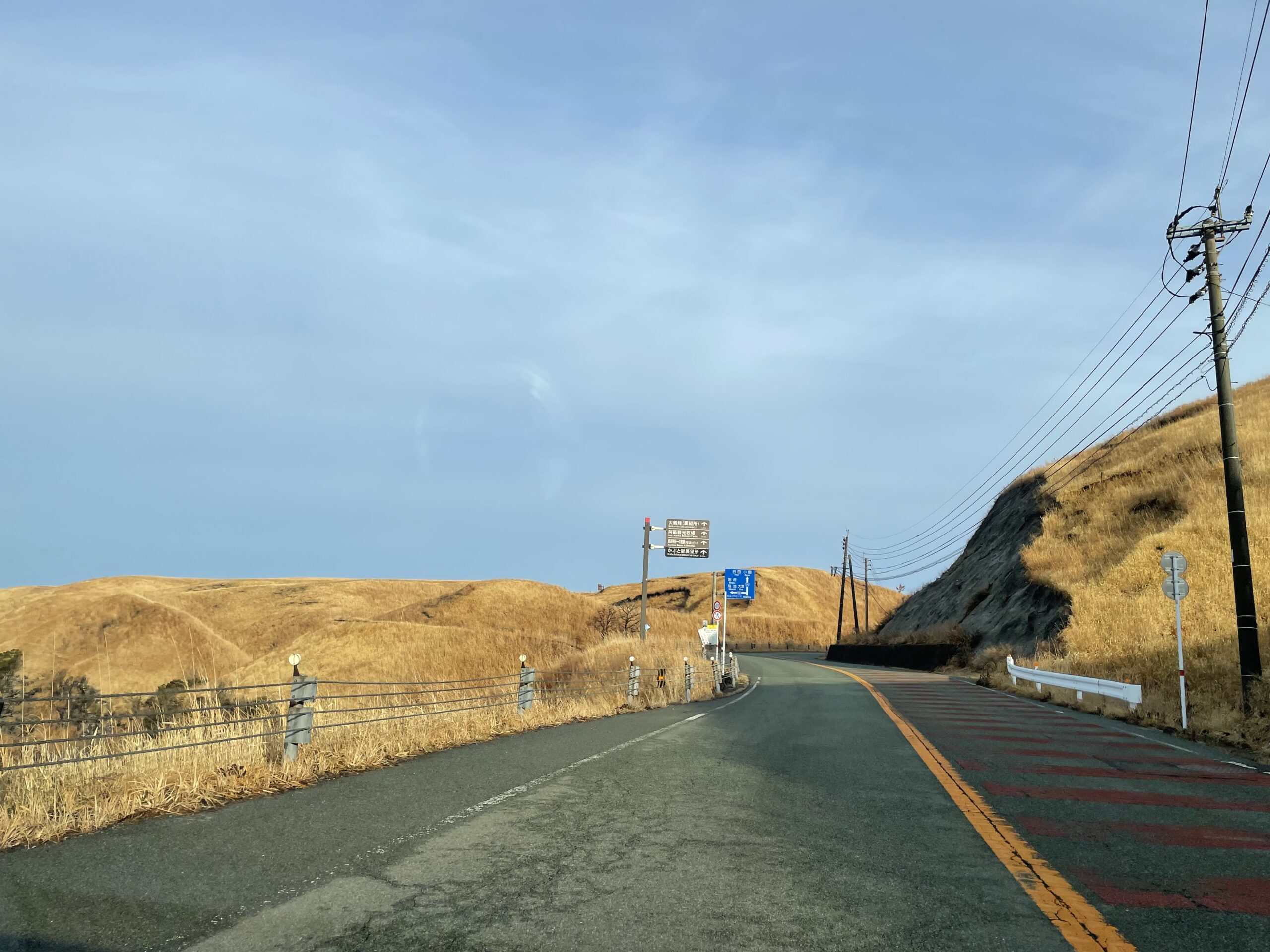 If you come this far, you are at the top of the outer rim of the summit.You can see tourist attractions and road signs.
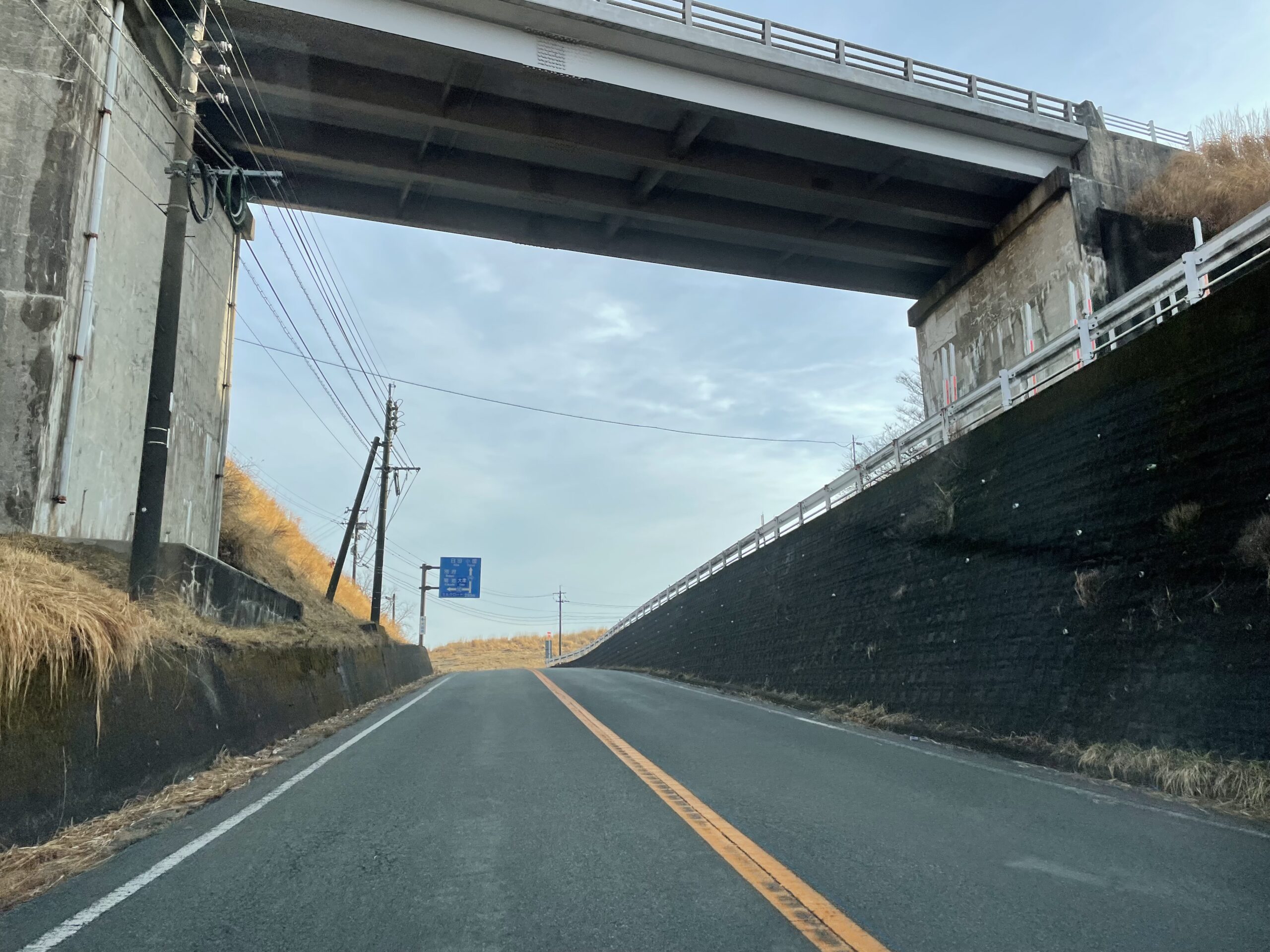 It is a grade crossing with Milk Road.Route XNUMX continues north.It passes through Oguni Township and enters Hita City in Oita Prefecture, and finally connects to Nakatsu City in Oita Prefecture.
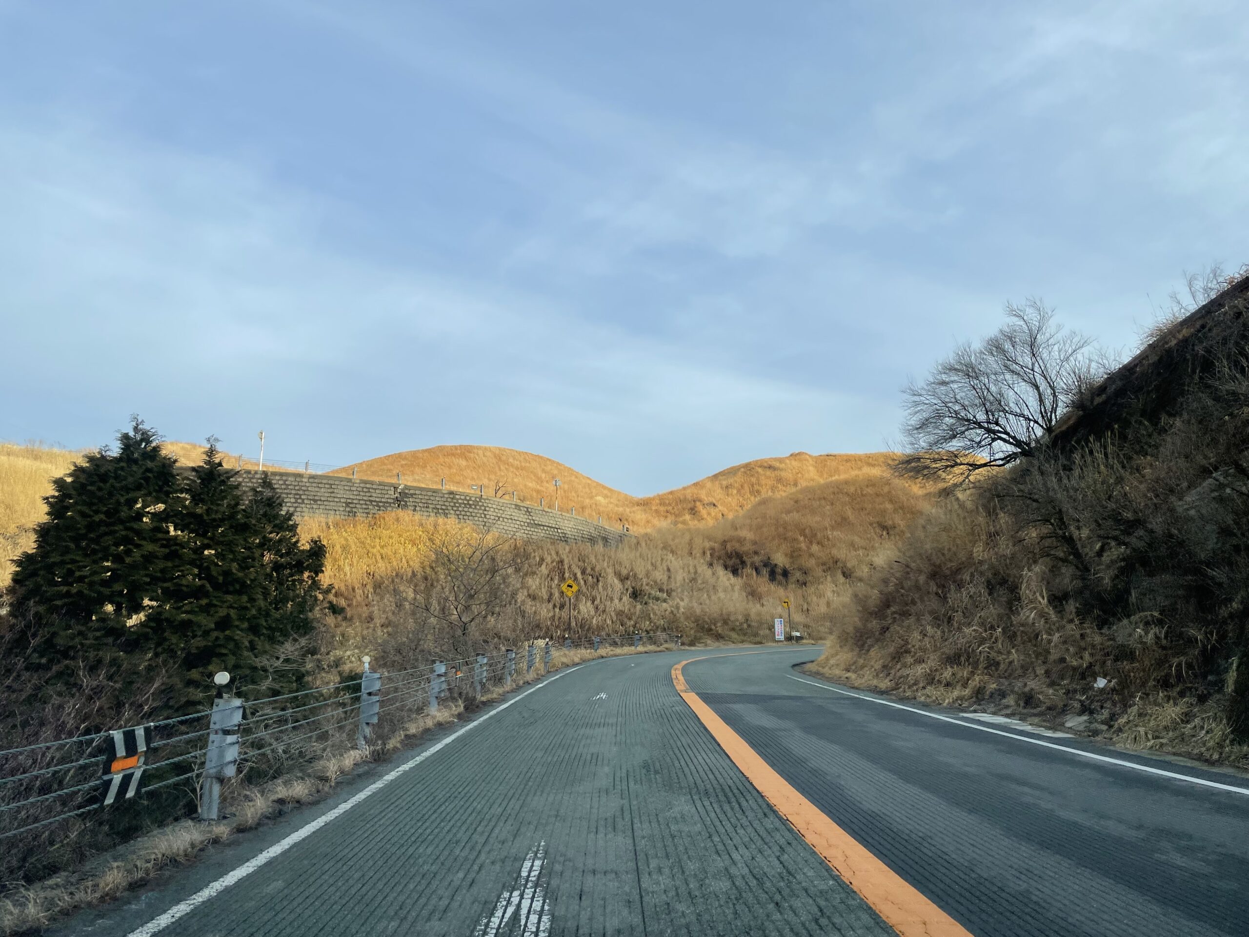
After this, we will run through the hills of the majestic grassland, but I will introduce it on another occasion.The Minamioguni Town Tourist Association provides various information related to sightseeing, including this information.Please feel free to contact us.
℡: 0967-42-1444
See you next time.